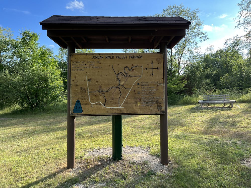
Jordan River Pathway
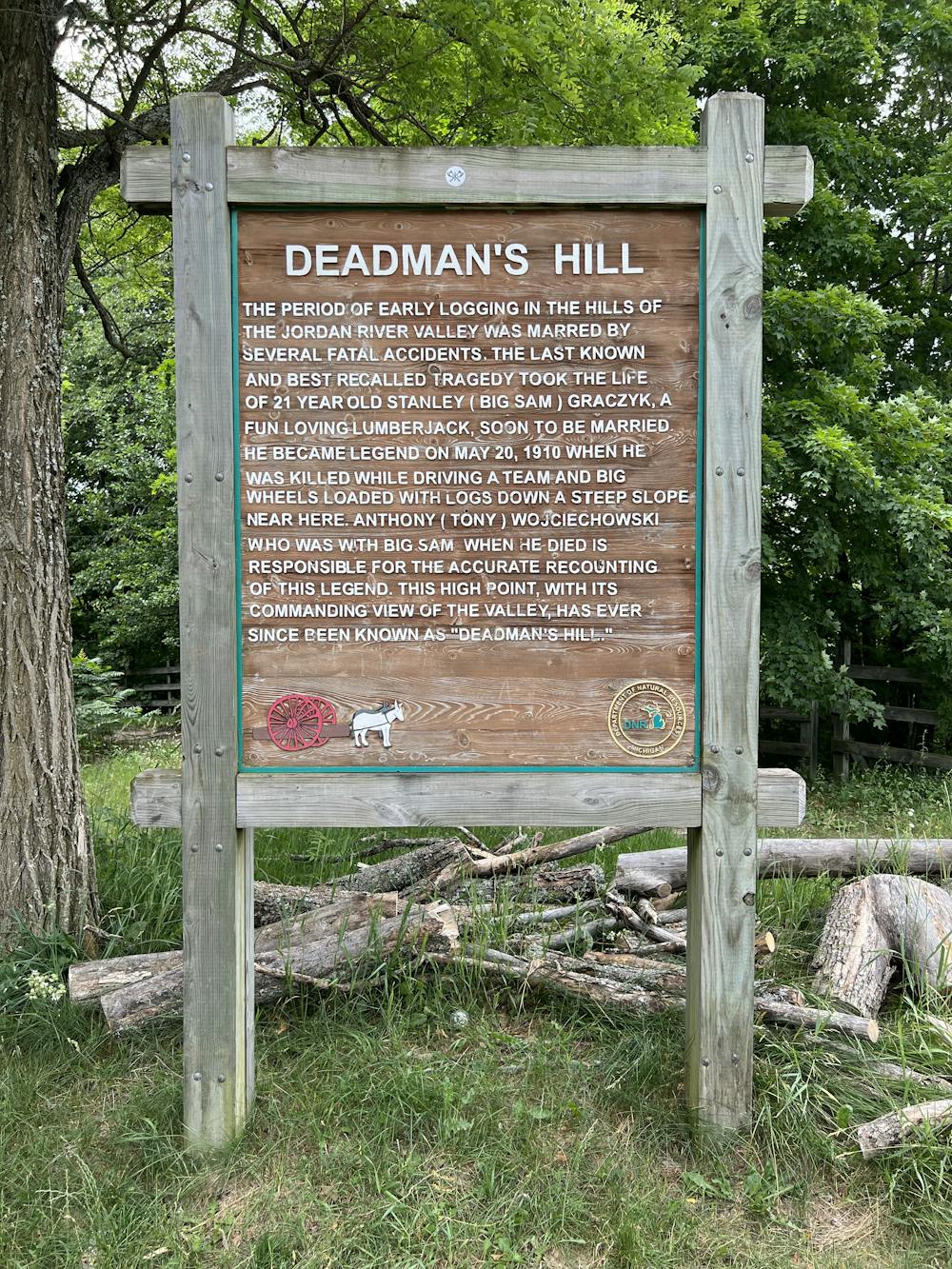
Pinney Bridge Campground to Deadman’s Hill Counterclockwise and in numerical order.
Hiking Moderate
- Distance
- 19 km
- Ascent
- 433 m
- Descent
- 270 m
- Duration
- 4-5 hrs
- Low Point
- 220 m
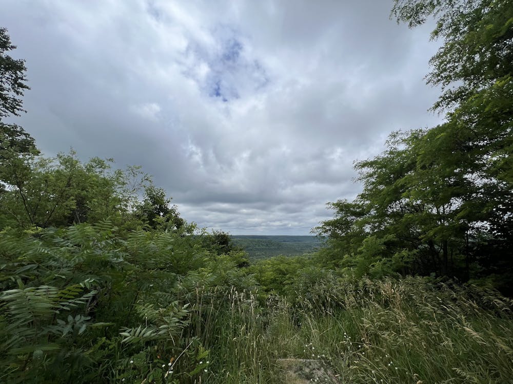
- High Point
- 398 m
- Gradient
- 4˚

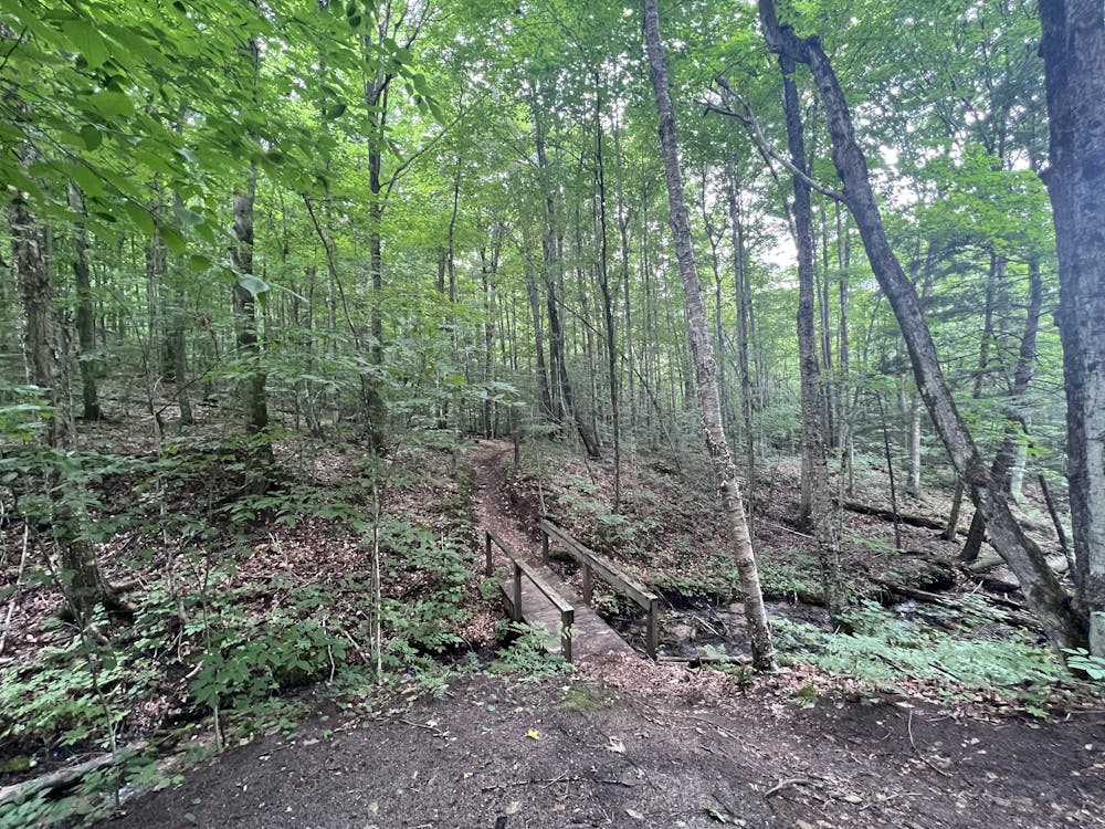
This is a popular hiking route which is generally considered to be moderate. It's remote, it features low exposure and is typically done between May and October. From a low point of 220 m to the maximum altitude of 398 m, the route covers 19 km, 433 vertical metres of ascent and 270 vertical metres of descent.

- •
- •
- •
- •
- •
- •
- •
- •
- •
Description
Pinney Bridge Campground to Deadman’s Hill
Difficulty
Moderate
Hiking along trails with some uneven terrain and small hills. Small rocks and roots may be present.
Low Exposure

The path is on completely flat land and potential injury is limited to falling over.
Remoteness

Away from help but easily accessed.
Best time to visit
Features
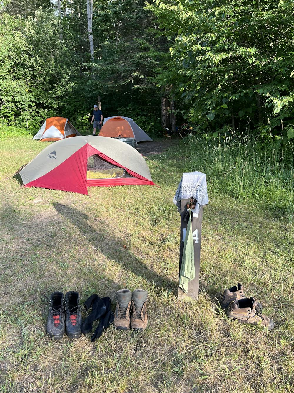
- Dog friendly
- Wild flowers
- Water features
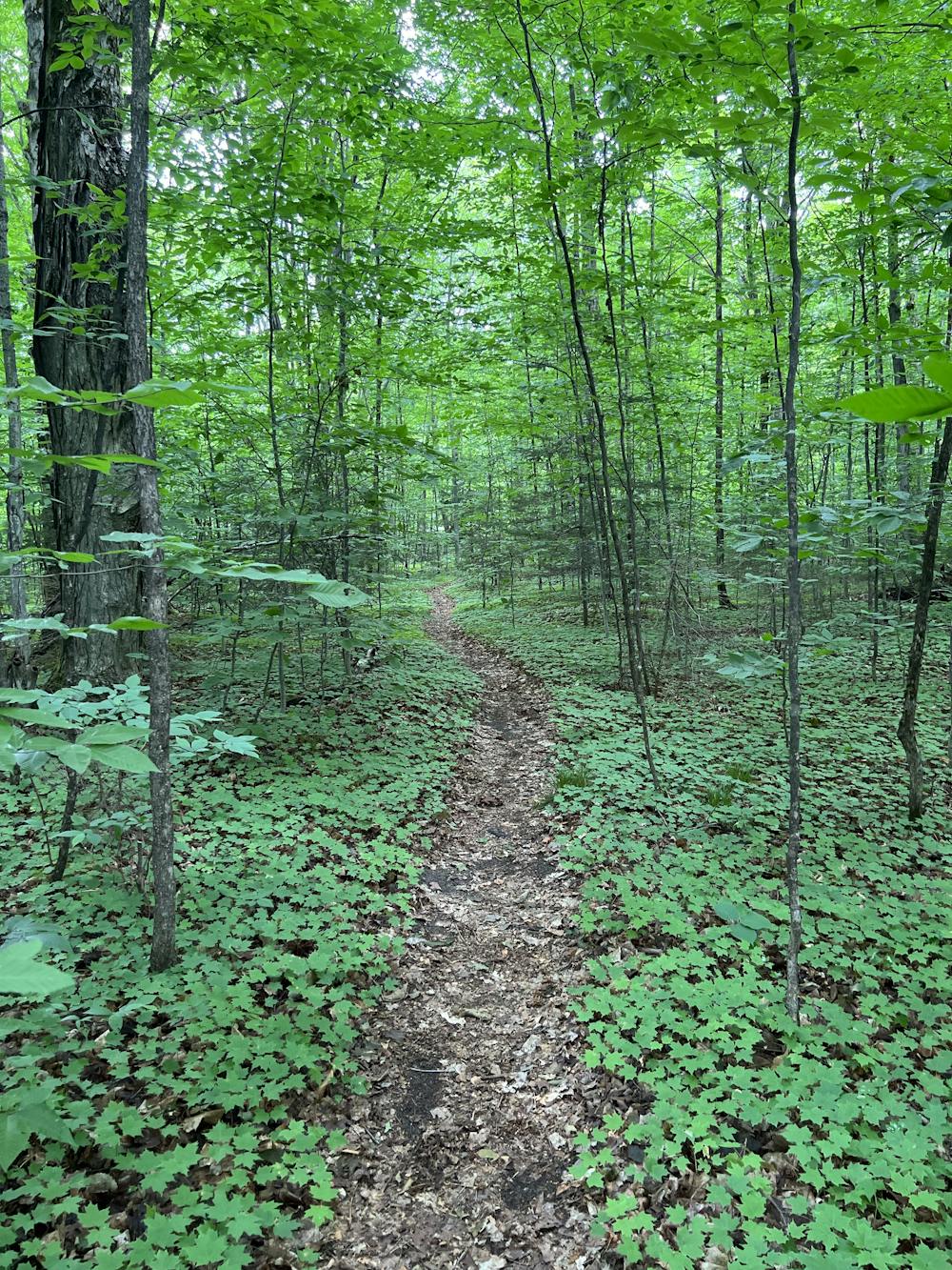
- Forestry or heavy vegetation