Lebanon Hills: Beginner Loop
Dip your toes into mountain biking with this fantastic beginner loop.
Easy Mountain Biking
- Distance
- 2.9 km
- Ascent
- 38 m
- Descent
- 38 m
Make the most out of one of Minneapolis's best trail systems with this "big" loop.
Mountain Biking Difficult

"With nearly 12 miles of one-way single-use singletrack, Lebanon Hills has become one of the go-to trails in the Minneapolis metro area," writes MORCMTB.org. Indeed, this fantastic network of singletrack allows riders to let loose and drop the hammer without fear of negative interactions with other trail users. Consequently, this trail system is often the first recommendation off the lips of local Minneapolis mountain bikers.
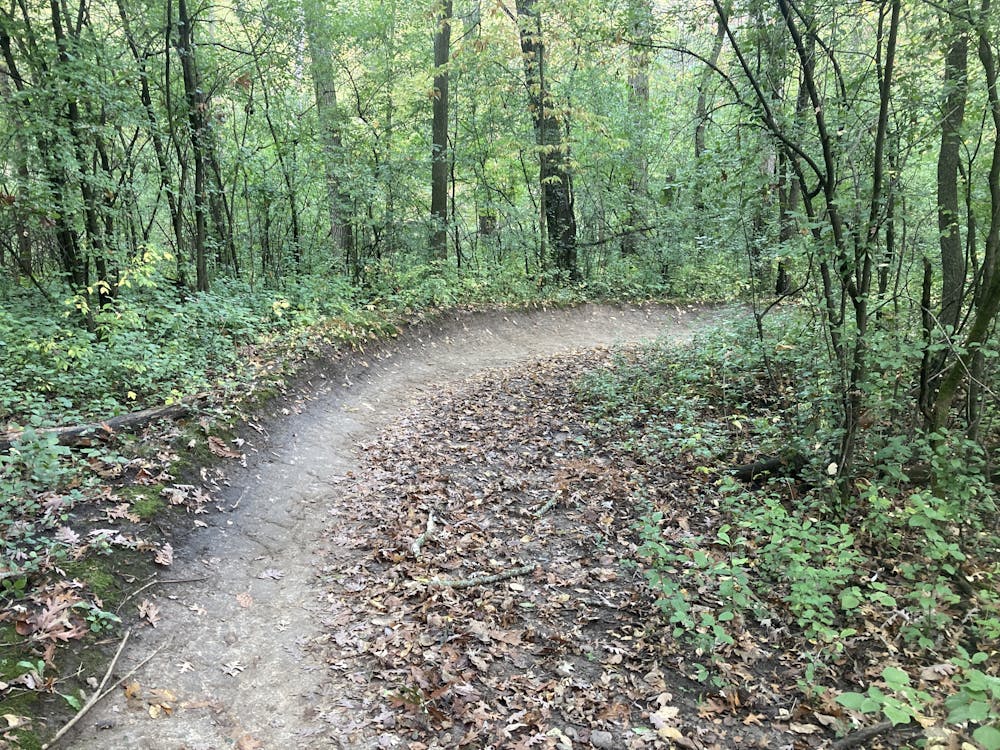
The trail network here is designed as a stacked-loop system that offers a bit of something for everyone... or at least, as much as the small Minnesota hills can provide. Close to the trailhead, you'll find smooth, flowy beginner trails that loop right back around to the start, providing an easy jaunt through the forest. In the middle, you'll find the long Intermediate trail that covers the most ground. And then, about halfway through the Intermediate trail, you have the option to add some more challenging, rocky singletrack.
The route shown here is a "big loop" of 9.4 miles that tries to maximize the singletrack at Lebanon Hills with one continuous loop.
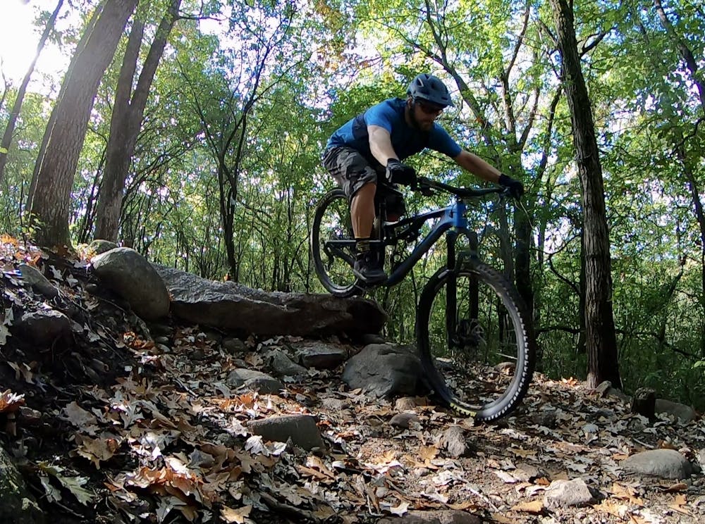
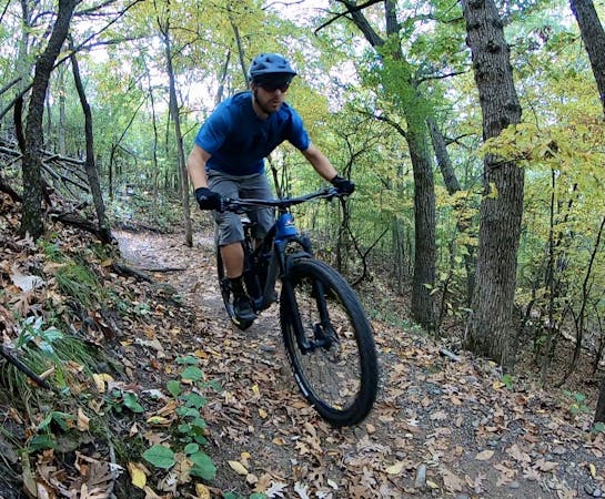
After flowing through the mellow warm-up trails, the Intermediate trail begins to bring the heat. The dark black dirt swoops and flows through the forest, making as much use of the minimal elevation available here as possible. The singletrack is crisscrossed by tree roots, and while there are a few rocks, the tread is mostly smooth.
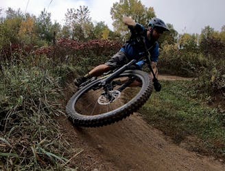
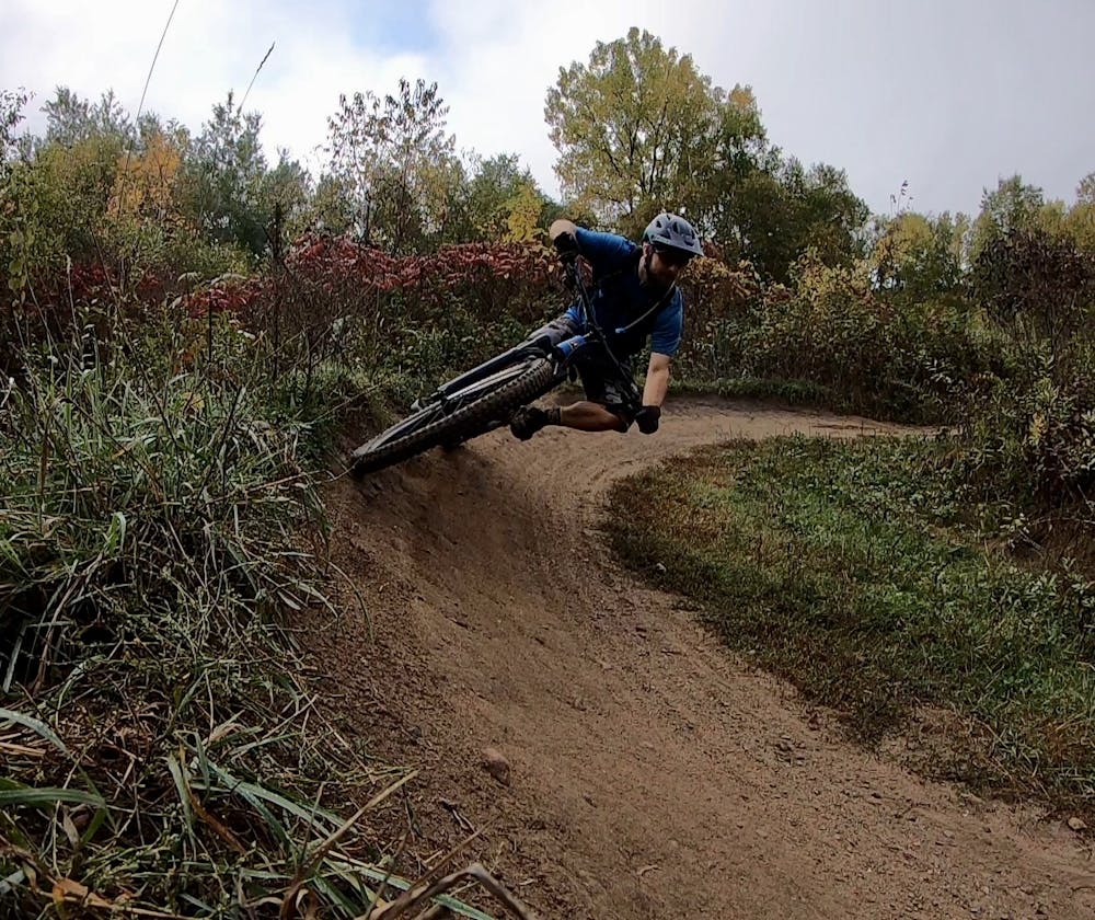
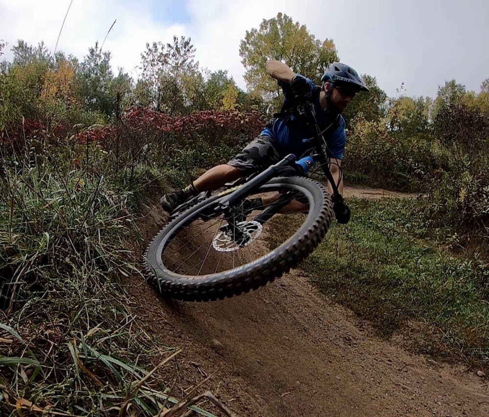
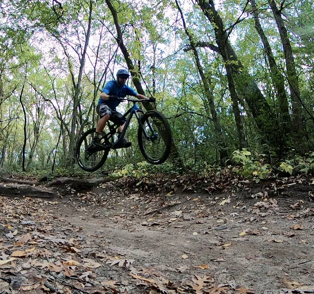
Throughout the trail system, you'll encounter a bevy of manmade obstacles, from small kickers and drops on some of the downhills to the occasional wooden feature. Berms have also been added in many of the corners to help keep the speed up. Swooping up and down the hollows through the furthest reaches of the network is an absolute blast! The fantastic flow will remind you that you can build a fun mountain bike trail just about anywhere if you're motivated enough.
Most maps give the "X Loop" a black diamond difficulty rating and a double black rating for the "XX Loop." These trails do offer a few challenging rock gardens, with the occasional ledge to plop over and a few boulders to pedal up. However, you have to remember that these are Midwestern trail ratings. Even if you choose to pedal the most difficult trails at Lebanon Hills, this ride still only earns a "Difficult" FATMAP rating, or 3 out of 5 on our difficulty scale.
Be sure to wrap up your ride with the "Last Climb" trail, which leads you to the best-built flow line in the park! Last Climb offers a few big berms, jumps, and drops for a short but sweet finish to your ride.
Difficult
Mostly stable trail tread with some variability featuring larger and more unavoidable obstacles that may include, but not be limited to: bigger stones, roots, steps, and narrow curves. Compared to lower intermediate, technical difficulty is more advanced and grades of slopes are steeper. Ideal for upper intermediate riders.

The trail contains some obstacles such as outcroppings and rock which could cause injury.

Close to help in case of emergency.
Dip your toes into mountain biking with this fantastic beginner loop.
Easy Mountain Biking

An intermediate-friendly romp through the Lebanon Hills trail system.
Moderate Mountain Biking
5 routes · Mountain Biking