5.1 km away
Far Side Wall 4

The farthest and shortest line in Lone Lake is clean, steep, and fun
Severe Freeride Skiing
- Distance
- 289 m
- Ascent
- 3 m
- Descent
- 135 m
An extreme chute. Only accessible via helicopter or a long climb.
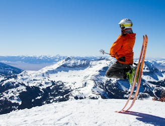
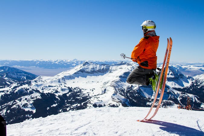
Freeride Skiing Extreme

This is a popular freeride skiing route which is generally considered to be extreme. It's extremely remote, it features extreme exposure (e4) and is typically done between January and April. From a low point of 2.7 km to the maximum altitude of 3.1 km, the route covers 408 m, 0 vertical metres of ascent and 337 vertical metres of descent. You'll need rope, skins and ice axe to complete it safely.
A high alpine chute. For extreme experts only.
Extreme
Extreme skiing terrain above 45 degrees. These routes are reserved for experienced experts.

In case of a fall, the skier faces certain death.
In the high mountains or remote conditions, all individuals must be completely autonomous in every situation.
5.1 km away
The farthest and shortest line in Lone Lake is clean, steep, and fun
Severe Freeride Skiing
5.3 km away

A steep ski line above a no fall zone
Severe Freeride Skiing
5.6 km away

Ridge line with multiple lines and cliffs.
Difficult Freeride Skiing
5.8 km away

A steep ski line in Lone Lake Cirque
Severe Freeride Skiing
5.9 km away

A popular descent in Cornrows section of the Lone Lake Cirque
Severe Freeride Skiing
5.9 km away

Steep technical side country chutes.
Extreme Freeride Skiing
6 km away
A beautiful back country ski on the south side of Lone Mountain.
Difficult Freeride Skiing
6.1 km away

The classic of Lone Lake Cirque.
Severe Freeride Skiing
6.8 km away

A rarely open short steep chute on the east face.
Severe Freeride Skiing
15 routes · Freeride Skiing