2.9 km away
Maclay Flat Nature Trail
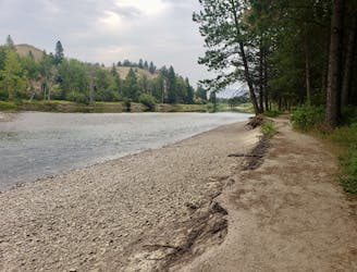
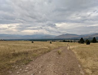
Get your nature fix on this easy and scenic stroll
Easy Hiking
- Distance
- 2.9 km
- Ascent
- 6 m
- Descent
- 7 m
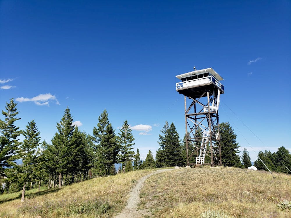
A long, scenic and satisfying ascent to a Missoula landmark
Hiking Difficult

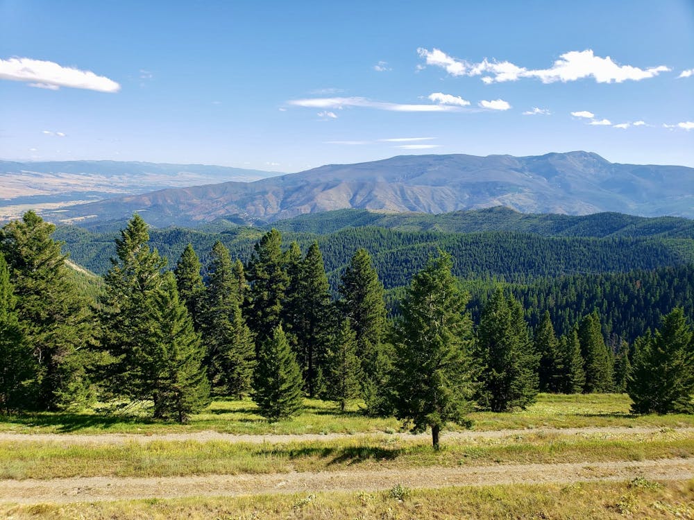
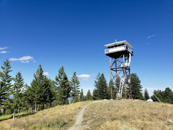
Blue Mountain is one of Missoula's most famous natural features, and its flanks are lined with trails for hikers, bikers and off road drivers. Despite this abundance of trails, few people venture to the actual summit of Blue Mountain because most of the best trails are lower down the mountain. It's also a long trip to the summit, and with so much to explore on the lower parts Blue Mountain, it takes a bit of motivation to bother going all the way to the top! It's an effort worth making though, because the views are fabulous, the solitude enchanting, and the summit fire tower is an interesting feature to boot.
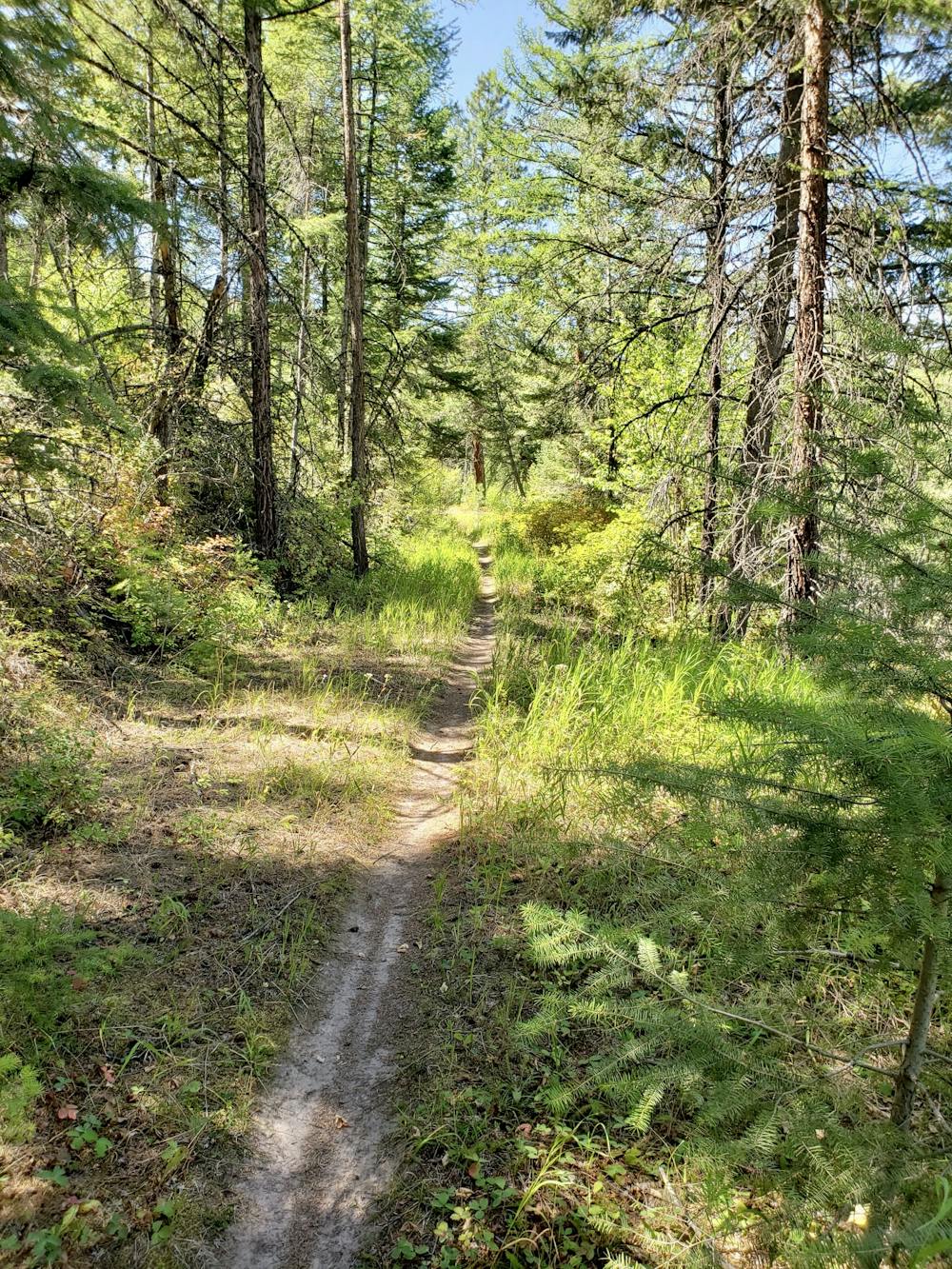
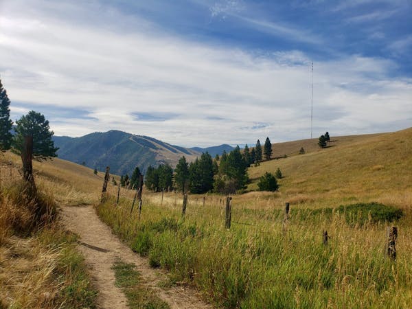
The hike can be started from several points, and it's an out-and-back so you won't have any logistical problems to solve regardless of where you park. The longest option is to park right at the foot of the Blue Mountain trail network, and the shortest option begins much further up than where we've shown the line beginning here. Our selected start point is a nice compromise, and begins midway up the fire road which climbs Blue Mountain.
The hike itself is simple enough and follows a clear trail through stunning forests, with occasional huge views over Missoula opening up as you climb. Upon reaching the summit outlook the views improve further, and you'll get a great vista over the Bitterroot Valley, as well as much of Missoula.
Admire the panorama and then descend back to your car via the same route.
Difficult
Hiking trails where obstacles such as rocks or roots are prevalent. Some obstacles can require care to step over or around. At times, the trail can be worn and eroded. The grade of the trail is generally quite steep, and can often lead to strenuous hiking.

The path is on completely flat land and potential injury is limited to falling over.

Little chance of being seen or helped in case of an accident.
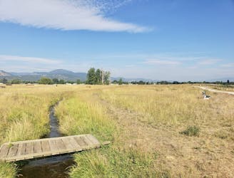
2.9 km away
Get your nature fix on this easy and scenic stroll
Easy Hiking
4.3 km away
Explore the maze of great trails at Blue Mountain
Moderate Hiking
6.1 km away
Enjoy some famous Montana "big sky" on this easy, scenic hike
Easy Hiking
5 routes · Hiking
10 routes · Hiking