3.7 km away
Palisade Falls
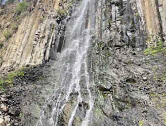
Easy tourist hike to an 80-foot-tall waterfall.
Easy Hiking
- Distance
- 1.8 km
- Ascent
- 91 m
- Descent
- 91 m
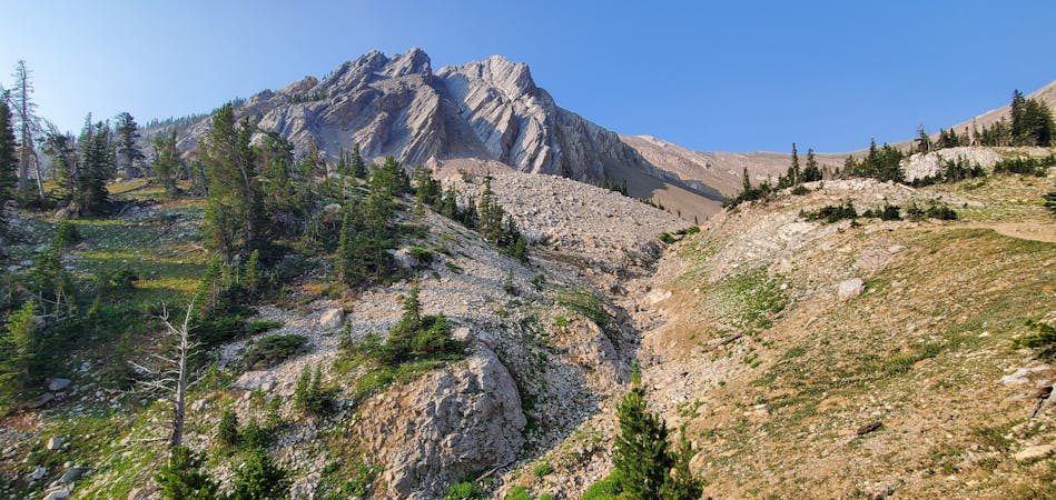
Hike to summit of Mount Blackmore
Hiking Difficult

This is a popular hiking route which is generally considered to be difficult. It's remote, it features medium exposure and is typically done between June and September. From a low point of 2 km to the maximum altitude of 3.1 km, the route covers 12 km, 1093 vertical metres of ascent and 491 vertical metres of descent.
Stunning backcountry route to the top of one of Bozeman's most prominent peaks, Mount Blackmore.
Difficult
Hiking trails where obstacles such as rocks or roots are prevalent. Some obstacles can require care to step over or around. At times, the trail can be worn and eroded. The grade of the trail is generally quite steep, and can often lead to strenuous hiking.

The trail contains some obstacles such as outcroppings and rock which could cause injury.
Away from help but easily accessed.
3.7 km away
Easy tourist hike to an 80-foot-tall waterfall.
Easy Hiking
4.4 km away

One of the most famous trails near Bozeman, passing numerous waterfalls and leading to a beautiful alpine lake.
Difficult Hiking
5.5 km away

Hike to two of the most beautiful lakes above Bozeman.
Difficult Hiking
8 routes · Hiking