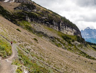
49 m away
Granite Chalet
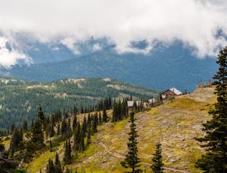
A peaceful trek to the historic Granite Park Chalet.
Moderate Hiking
- Distance
- 13 km
- Ascent
- 793 m
- Descent
- 793 m
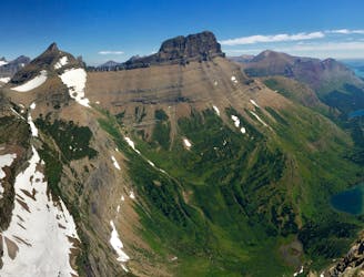
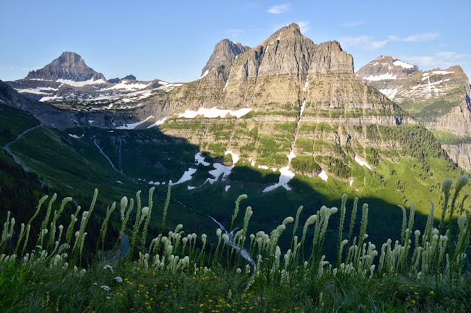
A variation of the Great Northern Loop through Glacier
Hiking Difficult

This is a popular hiking route which is generally considered to be difficult. It's very remote, it features medium exposure and is typically done between March and October. From a low point of 1.3 km to the maximum altitude of 2.3 km, the route covers 100 km, 4211 vertical metres of ascent and 4218 vertical metres of descent.
A classic hike through the Northern section of Glacier with a visit to the Many Glaciers area.
Highlights include sweeping vistas, glorious lakes, wildlife, and excellent camping.
Difficult
Hiking trails where obstacles such as rocks or roots are prevalent. Some obstacles can require care to step over or around. At times, the trail can be worn and eroded. The grade of the trail is generally quite steep, and can often lead to strenuous hiking.

The trail contains some obstacles such as outcroppings and rock which could cause injury.

Little chance of being seen or helped in case of an accident.
49 m away
A peaceful trek to the historic Granite Park Chalet.
Moderate Hiking
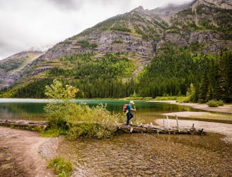
2.7 km away
Epic side trip to one of the best views in the park.
Difficult Hiking
8.5 km away
This beautiful subalpine lake sits below five waterfalls.
Moderate Hiking
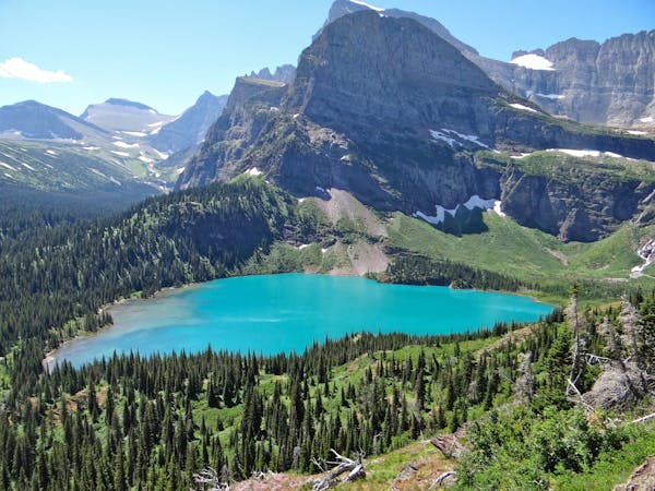
8.9 km away
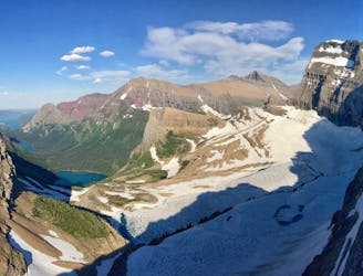
Simply put: One of the best day hikes in the world.
Difficult Hiking
8.9 km away
An iconic Glacier National Park trek.
Difficult Hiking
9 km away
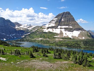
Easygoing hike to beautiful Hidden Lake.
Moderate Hiking
11 routes · Hiking
6 routes · Hiking

25 routes · Alpine Climbing · Hiking
5 routes · Alpine Climbing · Hiking

63 routes · Alpine Climbing · Hiking