8 routes · Hiking
An easily-accessible trailhead leads deep into the Gallatins.
Hiking Moderate

The South Cottonwood trailhead is located right on the outskirts of Bozeman, making it a very popular access point for the Gallatin mountain range. This trail can be filled with hikers, trail runners, and mountain bikers at all times and on any day of the week—especially during mid-summer. Even still, it's a beautiful trail in an incredible mountain range and is well worth exploring.
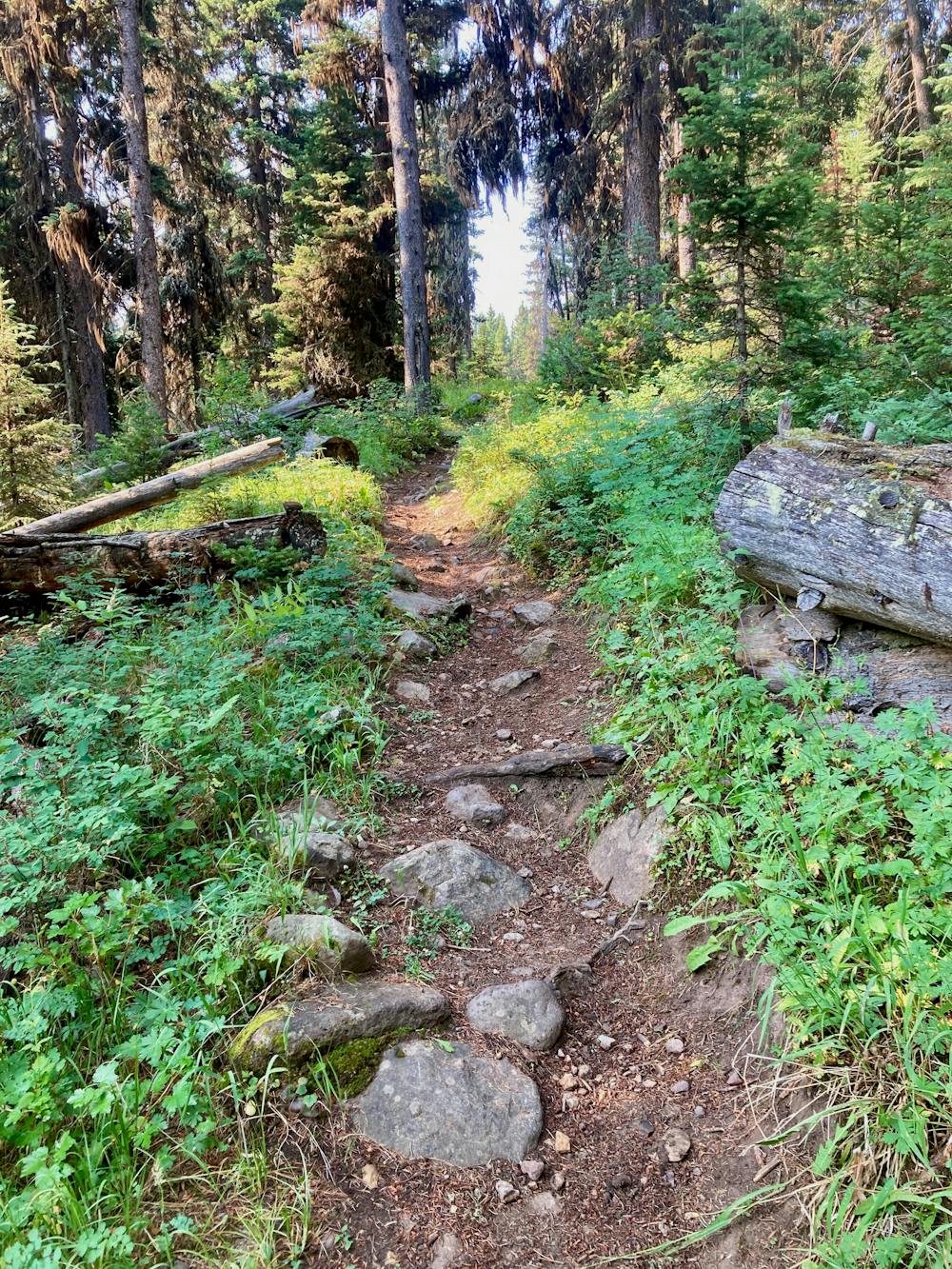
The hike begins on a smooth, wide trail winding through the trees. You'll cross the creek a few times, sometimes splashing through the water directly and at other times utilizing bridges.
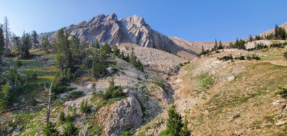
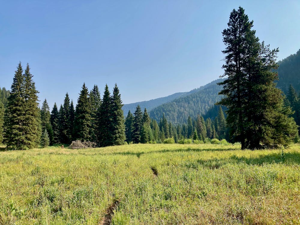
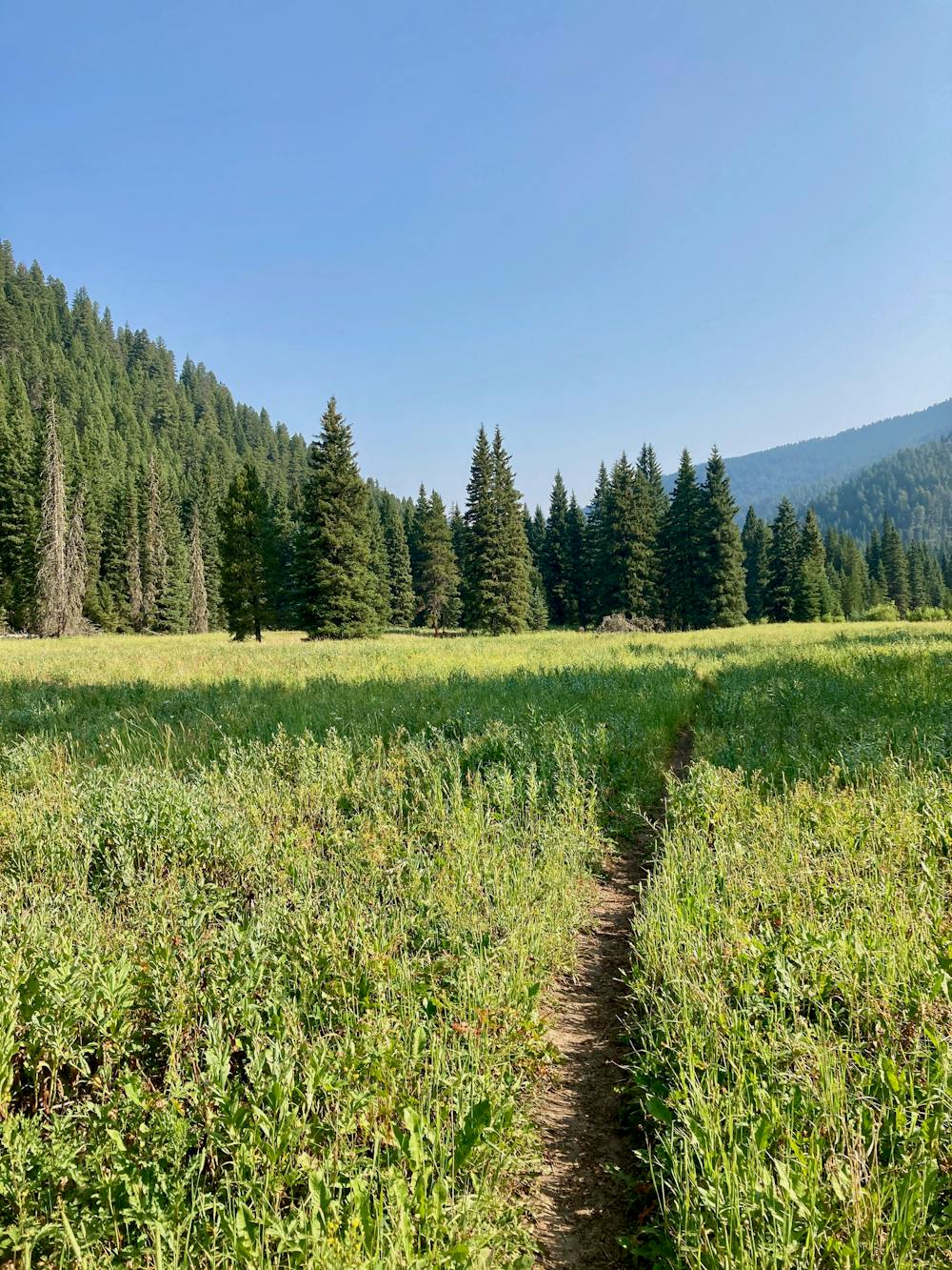
The higher you go, the narrower and rougher the trail gets. Most hikers seem to turn around after just a couple miles of hiking. While you can choose to turn around whenever you'd like, the route as mapped here leads to a rewarding ending: a series of beautiful meadows in the bottom of this narrow mountain valley. From these meadows, you'll enjoy stunning views of the mountain ridges rising dramatically above you on both sides!
To reach the meadows, you'll have to hike about 5.4 miles one-way, gaining almost 1,500 feet of elevation. If an almost 11-mile hike isn't long enough, you can, of course, carry on further up the trail—see this mountain biking routefor an example.
Note:
The Bozeman area is renowned as prime grizzly bear country. Signs at every trailhead warn that bears are highly active in the area. To mitigate the risk of bear encounters, make plenty of noise while hiking, try to hike with a group of people, and consider attaching a bear bell to your backpack. Also, make certain that you carry bear spray with you every time you hike, in case you do get into an encounter with a grizzly.
Moderate
Hiking along trails with some uneven terrain and small hills. Small rocks and roots may be present.

The trail contains some obstacles such as outcroppings and rock which could cause injury.
Away from help but easily accessed.
8 routes · Hiking