2.8 km away
Best of Blue Mountain
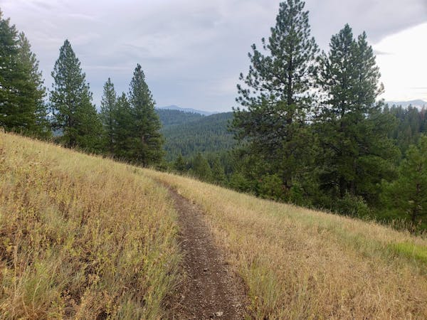
Sample some of Missoula's closest trails
Moderate Mountain Biking
- Distance
- 15 km
- Ascent
- 571 m
- Descent
- 571 m
A long climb leads to a fast and furious descent!
Mountain Biking Difficult

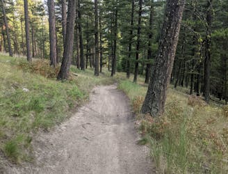
Perched high above south Missoula, Blue Mountain is a popular riding spot, and this is the area's biggest and baddest line! If you want to check out what Blue Mountain has to offer without committing to this route, check out our "Best of Blue Mountain Trail".
There are several ways of doing this ride, but starting and finishing where we've shown here seems like a good compromise of effort vs reward. If you want to improve that equation, try to secure a drop-off higher up the mountain and then ride down all the way to Missoula!
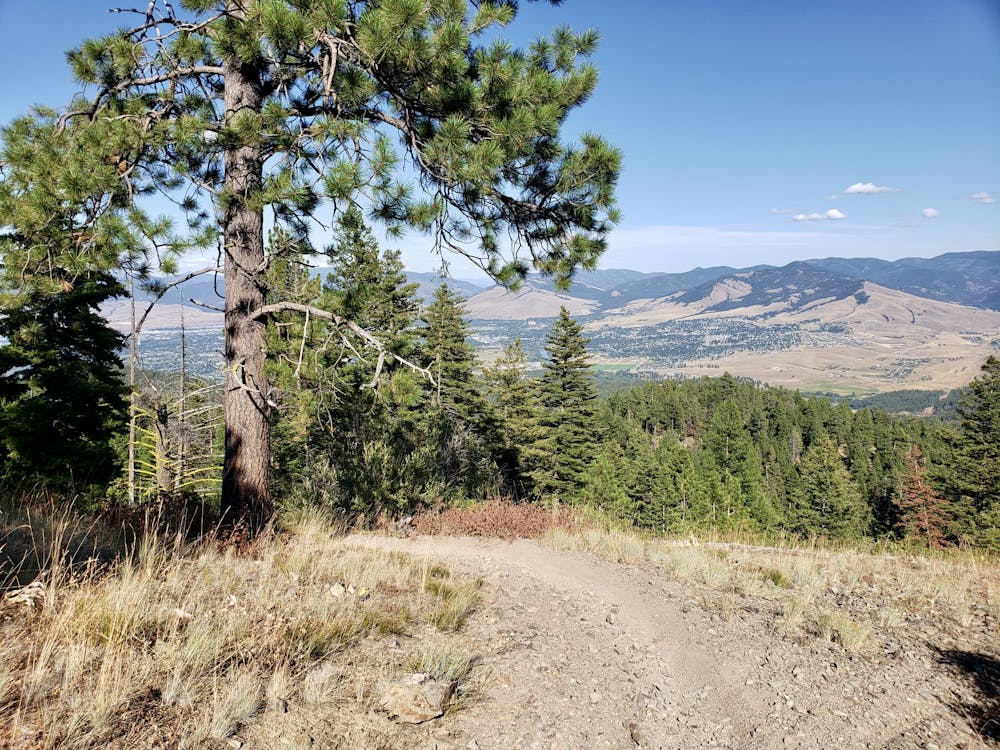
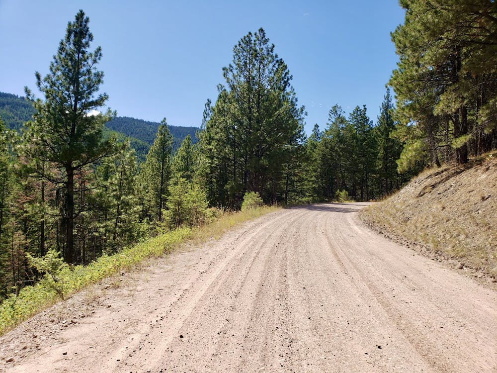
The ascent is long and - frankly - somewhat tedious, but the trees thin and the views improve as you get higher so keep grinding up the lower section of 4x4 track and rest assured that the reward for your efforts will come a little later on. The incline for the the climb is not steep so the height is gained as easily as it ever can be!
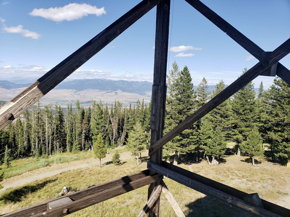
Upon arriving on top of Blue Mountain you'll be greeted by the sight of the amazing summit lookout tower. The tower itself is locked, but there's nothing stopping you from climbing some of the steps which lead to it and enjoying the views that doing so provides. The vistas towards Lolo Peak and the Bitterroot valley are particularly impressive.
When you get back on your bike, the ride is undulating initially, but then it's all downhill for a loooong time! The upper section is very rocky and you'll be living on the brakes, but it gets much smoother lower down and you can begin to let the bike roll a little more as you descend.
As you get lower down Blue Mountain keep an eye on FATMAP to ensure that you don't ride past any of the junctions which lead you out leftwards. It would be possible to accidentally drop into the valley to the south and be left with a much bigger climb out, so pay attention!
Once back in the main Blue Mountain trail network, either ride back to the car or, if you managed to get dropped off, carry on down to Missoula.
Difficult
Mostly stable trail tread with some variability featuring larger and more unavoidable obstacles that may include, but not be limited to: bigger stones, roots, steps, and narrow curves. Compared to lower intermediate, technical difficulty is more advanced and grades of slopes are steeper. Ideal for upper intermediate riders.

The trail contains some obstacles such as outcroppings and rock which could cause injury.

Little chance of being seen or helped in case of an accident.
2.8 km away
Sample some of Missoula's closest trails
Moderate Mountain Biking
5 routes · Mountain Biking