5.4 km away
High, Wide and Handsome Bike
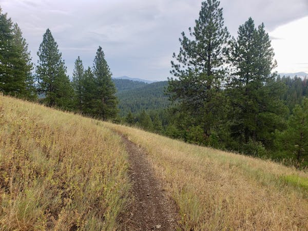
This is a wonderful, moderate ride with views and flow trail aplenty!
Moderate Mountain Biking
- Distance
- 18 km
- Ascent
- 666 m
- Descent
- 666 m
An easy and short cruise through quiet forests
Mountain Biking Moderate

On the back road which links Missoula with Bonner are some of the most stunning residences in Montana, and some superb, easy biking. On the drive up Pattee Canyon you'll likely be distracted by the various rural properties you pass, but once you reach the trailhead you'll be absorbed by the enjoyable riding on this route.
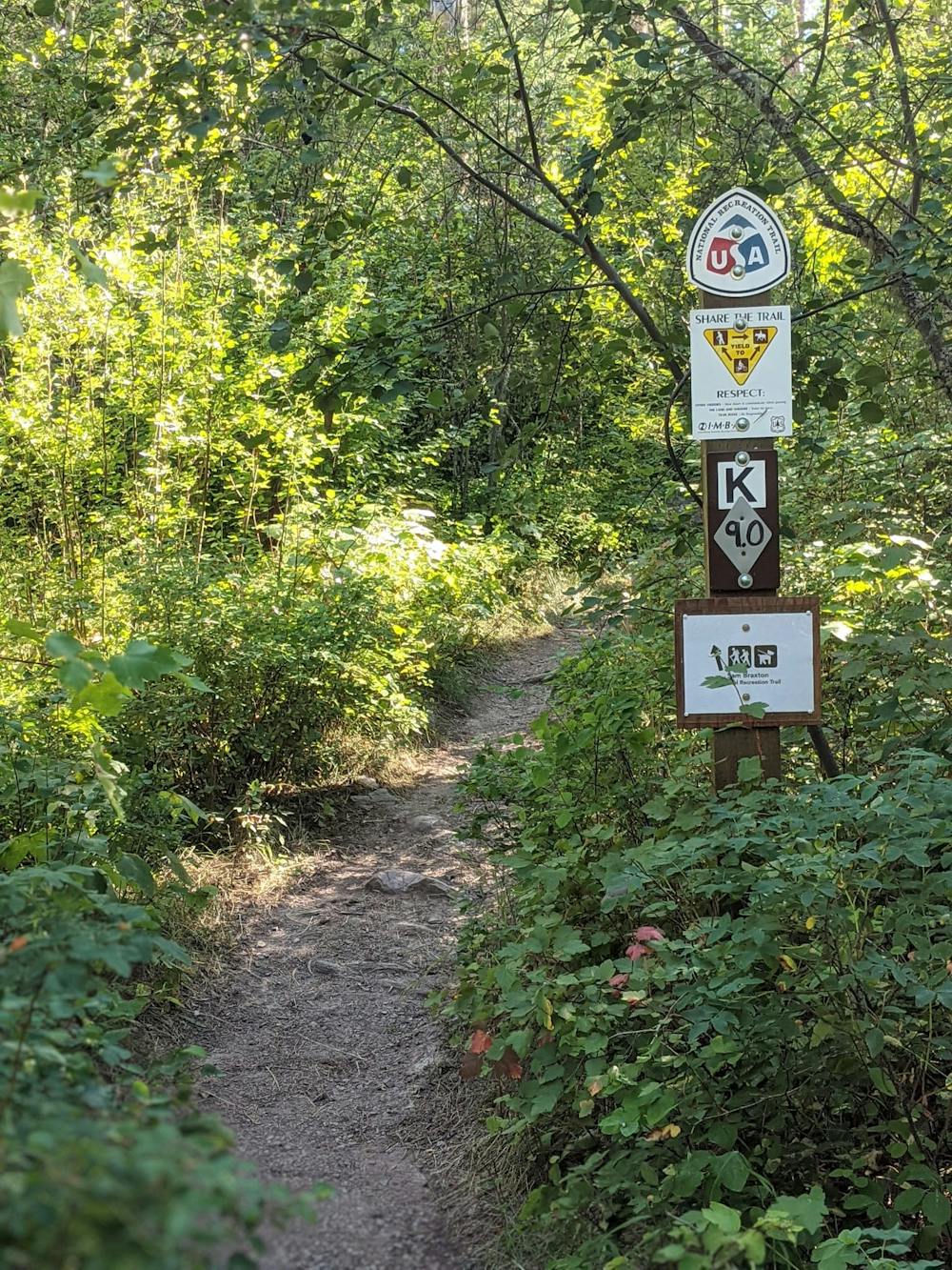
The line we've drawn here goes along part of the Sam Braxton route, but it also dips onto other trails as well. The whole area around this route is a maze of trails so you can either stick to it closely, or just use it as a guide to get your between the key landmarks. The trail is not well signposted, so if you choose to follow our line closely then you'll need to check your phone regularly!
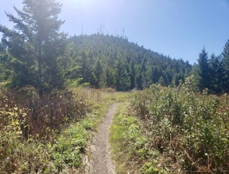
The route through Pattee Canyon is undulating all the way, with no steep sections on either ascent or descent. The riding is straightforward and you won't need any particular technical skills to complete it safely.
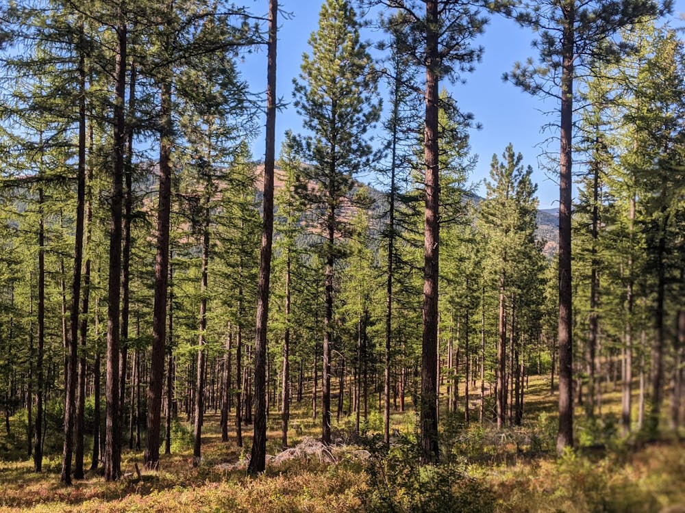
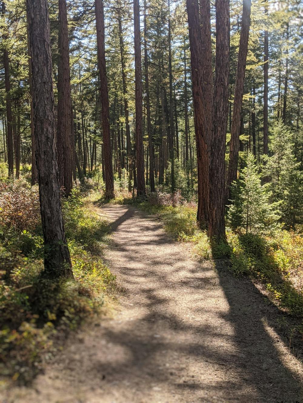
The entire goes through remarkably beautiful forests and these are wonderful to traverse. Soak in the lovely ambience of the woods and enjoy the solitude - this is most certainly not a busy route so you should be alone for most of the time (there are bears about though, so if riding alone, make a bit of noise and keep your eyes and ears peeled!)
If you're new to riding or just want some stress-free cruising, give Pattee Canyon a look!
Moderate
Mostly stable trail tread with some variability, with unavoidable obstacles 8in/20cm tall or less. Other obstacles such as rock gullies and steep sections may exist. Ideal for lower intermediate riders.

The path is on completely flat land and potential injury is limited to falling over.

Away from help but easily accessed.
5.4 km away
This is a wonderful, moderate ride with views and flow trail aplenty!
Moderate Mountain Biking
5 routes · Mountain Biking