4th of July Chute
North Madisons
Beehive Basin classic
Ski Touring Severe
- Distance
- 635 m
- Ascent
- 0 m
- Descent
- 284 m
- Duration
- 0-1 hrs
- Low Point
- 2.9 km
- High Point
- 3.2 km
- Gradient
- 45˚
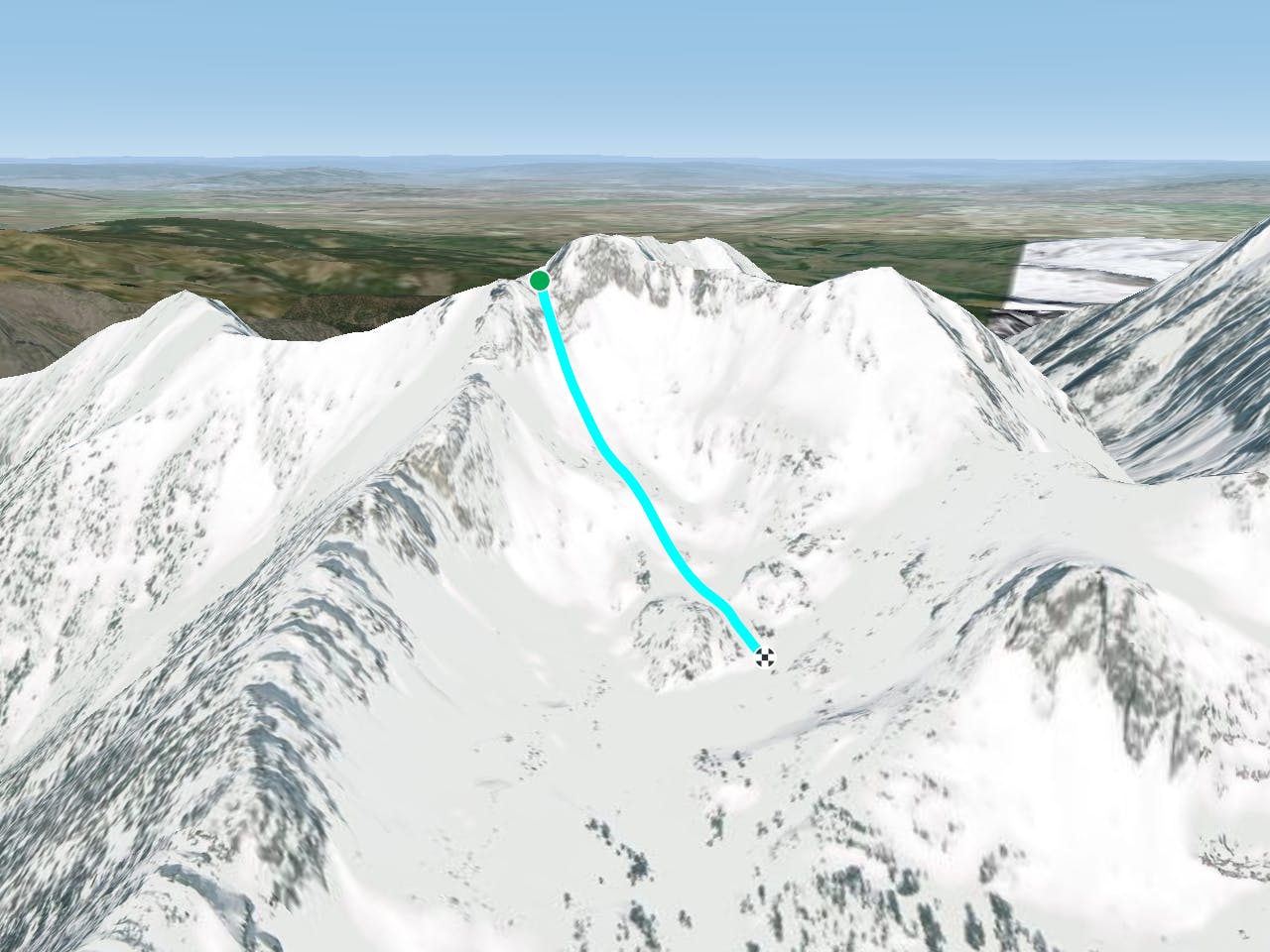
The 4th of July chute is aptly named as it holds snow well into the summer most years. It isn't too hard to get to, lying about three miles from the car at the head of Beehive Basin. Hike up the drainage heading towards Beehive Peak. On the looker's left side of Beehive Peak, you'll see the 4th of July chute. During winter, its about 30 feet wide at its tightest, and the chute itself is only about 600 feet long. Once out of the rock walls, you can milk out another 6 or 800 feet of lower angle skiing down to the meadows in that basin. If you are trying for a later season descent, you may want crampons and an ice axe.
Difficulty
Severe
Steep skiing at 38-45 degrees. This requires very good technique and the risk of falling has serious consequences.
Medium Exposure (E2)

As well as the slope itself, there are some obstacles (such as rock outcrops) which could aggravate injury.
Remoteness

Little chance of being seen or helped in case of an accident.
Best time to visit
Features
- Walk Required
Equipment required
- Skins
- Crampons