9 routes · Ski Touring
One of the most iconic lines around Cooke City
Ski Touring Extreme

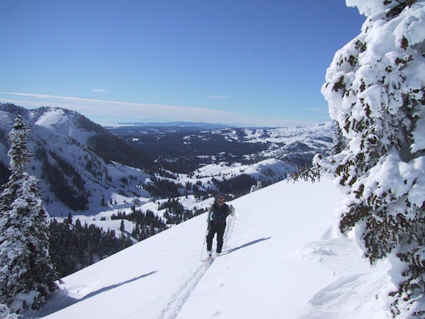
The Abiathar Couloir is One of the most epic lines around. Period. The chute is about 1000 feet vertical with huge rocks walls on either side; it's like you are inside the mountain. It gets very steep towards the top, finishing at a cool 55 degrees. It just keeps tightening and steepening the whole walk up, and eventually you just have to stop and ski back down. It's generally about 25 feet wide. There is a large apron of about 1000 feet underneath this behemoth. Head into the Park about a mile and park at a pull out on the South side of the road. Cross the creek and head south-east for almost a mile then take a right into dense trees and stay a few hundred feet above the creek drainage. Traverse at this elevation until you are underneath the couloir. The total distance is only about 2 miles.
Extreme
Extreme skiing terrain above 45 degrees. These routes are reserved for experienced experts.

As well as the slope itself, there are some obstacles (such as rock outcrops) which could aggravate injury.

In the high mountains or remote conditions, all individuals must be completely autonomous in every situation.
9 routes · Ski Touring