9 routes · Ski Touring
A short, but steep open face
Ski Touring Difficult

This is a popular ski touring route which is generally considered to be difficult. It's remote, it features low exposure (e1) and is typically done between November and June. From a low point of 2.9 km to the maximum altitude of 3.1 km, the route covers 666 m, 0 vertical metres of ascent and 223 vertical metres of descent. It's graded 2.2 and Labande grade 3. You'll need skins to complete it safely.
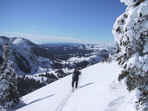
The East Face of Fisher Peak is a nice way to end the day after lapping Rob's Knob. Its about 600 feet vertical, but wide open and moderately pitched. Skin or boot from the top of Rob's Knob about 200 feet to gain the ridge just South-west of Fisher Peak.
Difficult
Serious gradient of 30-38 degrees where a real risk of slipping exists.

Exposure is limited to that of the slope itself. Getting hurt is still likely if the slope is steep and/or the snow is hard.

Away from help but easily accessed.
9 routes · Ski Touring