9 routes · Ski Touring

Short, but very technical spines
Ski Touring Extreme

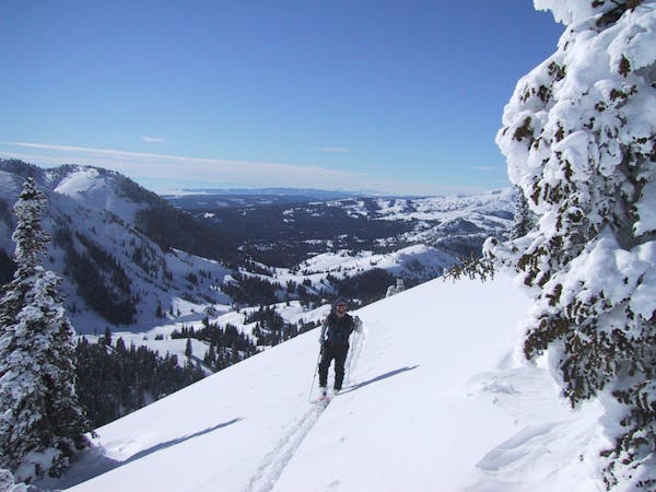
The Spines in Republic Bowl are some beautiful lines. They stare at you from town, sitting just left of the Fin. There are numerous ways through, and you can scope them easily form the East side of the Bowl as you approach. The spines are only about 300 feet long, but you get another 300 feet of run out before it really flattens out. To get to the top of Republic, head South of Cooke City, following the Republic creek trail. Go about a quarter mile past the trailhead sign and take a right. You'll start setting a track up moderately steep, but well spaced trees. After about 1200 feet of climbing, you gain the North-east ridge. Take this to the summit, about a third of a mile away. Head past the summit, continuing your horseshoe around the ridge above the basin. The spines are just before the Fin. There are two options to get back to Cooke. One, set a track back up from the bottom of the bowl to the North-east ridge and ski the east facing trees back down to the trailhead. The other option is to continue down the bowl for a little bit, staying about 300 feet above the main gully. Traverse at this elevation until you come to the top of "Old Man Ray's." OMR's will take you right down to the town of Cooke City.
Extreme
Extreme skiing terrain above 45 degrees. These routes are reserved for experienced experts.

9 routes · Ski Touring