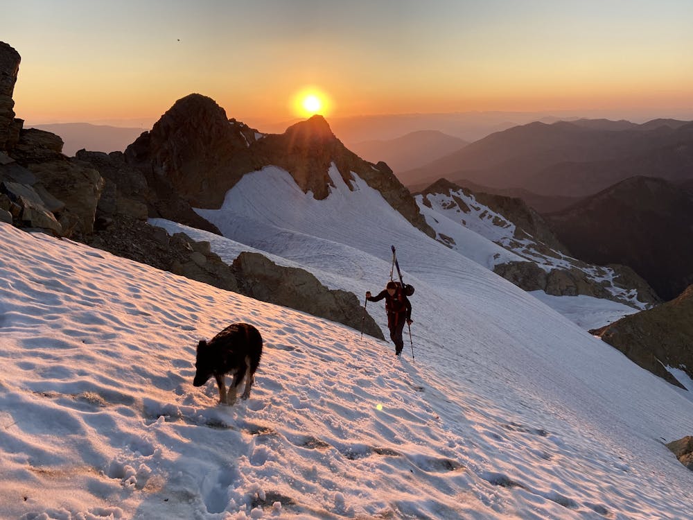
Stanton Glacier
Ski off of the majestic Great Northern Mountain while looking into the heart of Glacier National Park.
Ski Touring Difficult
- Distance
- 16 km
- Ascent
- 2 km
- Descent
- 2 km
- Duration
- 1 day +
- Low Point
- 1.3 km
- High Point
- 2.6 km
- Gradient
- 26˚

This is a popular ski touring route which is generally considered to be difficult. It's very remote, it features medium exposure (e2) and is typically done between May and August. From a low point of 1.3 km to the maximum altitude of 2.6 km, the route covers 16 km, 1969 vertical metres of ascent and 1971 vertical metres of descent. It's graded 3.1 and Labande grade 3. You'll need ice axe, crampons and glacier kit to complete it safely.
Description
Great Northern is a worthy summit objective by itself, but why not ski the Stanton Glacier on its flank? Mountain goats, long (relatively tame summer skiing, and great views.
Difficulty
Difficult
Serious gradient of 30-38 degrees where a real risk of slipping exists.
Medium Exposure (E2)

As well as the slope itself, there are some obstacles (such as rock outcrops) which could aggravate injury.
Remoteness

Little chance of being seen or helped in case of an accident.
Best time to visit
Features
- Ski Mountaineering
Equipment required
- Ice axe
- Crampons
- Glacier kit