9 routes · Ski Touring
A 1600 feet, open gully
Ski Touring Difficult

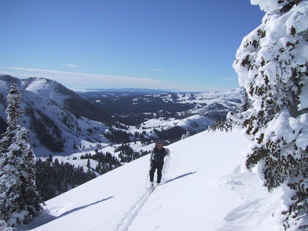
The West gully of the Fin is a nice long run. It's great late in the day run during the spring and early summer. The first hundred feet or so will have to be walked down due to westerly winds. Once you get to the snow though, you'll be afforded wide open arcing turns for 1600 feet. To access this line, turn off the Bannock trail at the East end of Silver Gate. Head up the deep creek drainage directly West of Republic. Take the high and East side of the creek, there are a couple tight canyons and waterfalls to avoid. Stay high for about a third of a mile, and you'll be at the bottom of the line. Ascend the tree-d ridge between gully to the top.
Difficult
Serious gradient of 30-38 degrees where a real risk of slipping exists.

As well as the slope itself, there are some obstacles (such as rock outcrops) which could aggravate injury.

Little chance of being seen or helped in case of an accident.
9 routes · Ski Touring