185 m away
Bridger Ridge Traverse
A tough, technical, exposed traverse of the rugged Bridger range.
Extreme Trail Running
- Distance
- 29 km
- Ascent
- 1.9 km
- Descent
- 2.7 km
Climb the high point of the Bridger Range.
Trail Running Severe

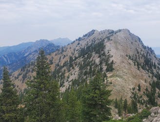
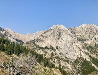
Sacagawea Peak reigns as the highest point in the Bridger Range. While its 9,654-foot elevation doesn't sound like much compared to other Rocky Mountain summits, this mountain is rocky, rugged, and stunningly beautiful.
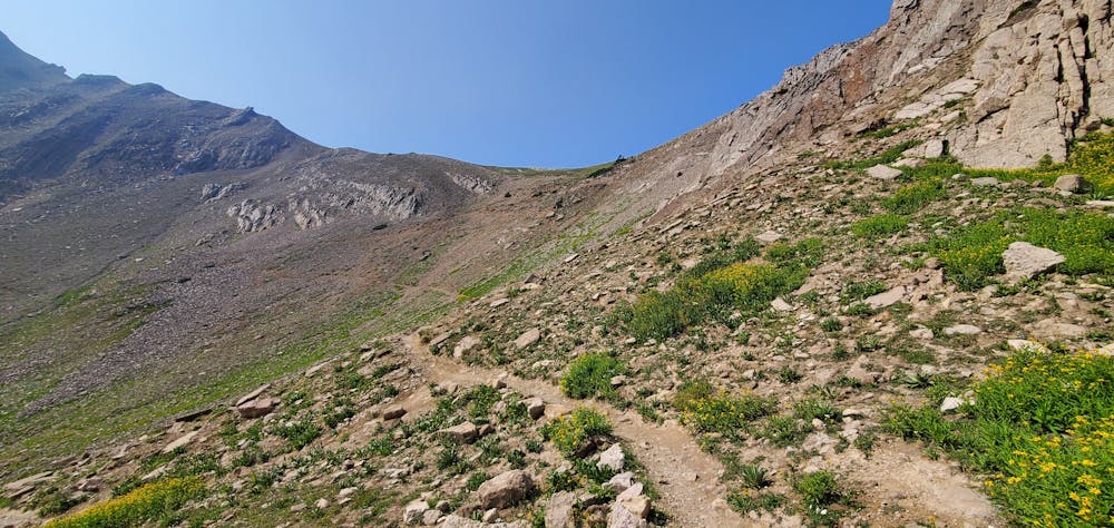
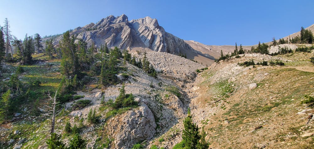
The most common approach to the summit begins from the Fairy Lake Trailhead near Fairy Lake Campground. The route as mapped gains about 2,000 vertical feet in just 2.2 miles one-way. This short but steep climb is rightfully demanding, only allowing upward passage to the truly committed.
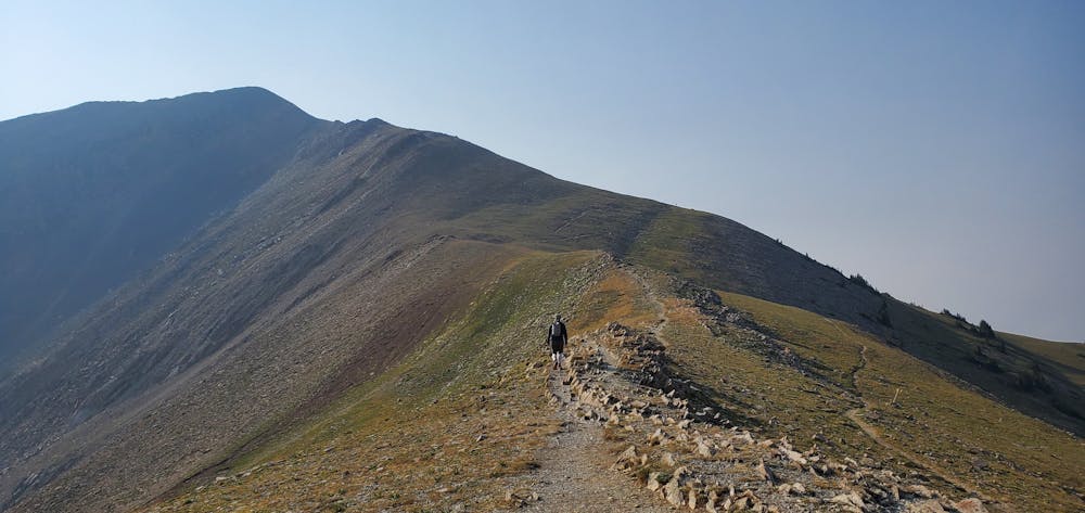
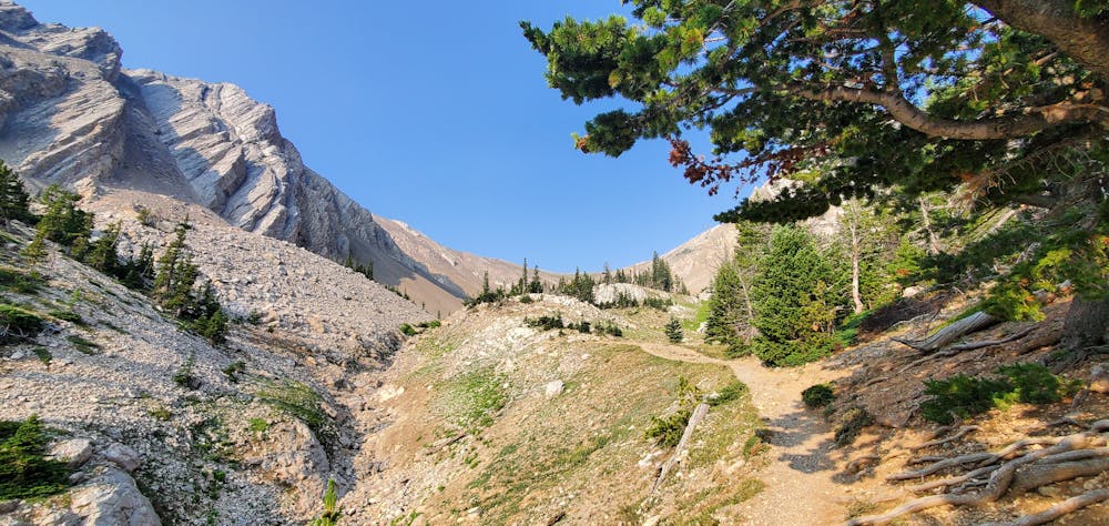
"The trail climbs through a glacial cirque and up to Bridger Divide, between Sacagawea and Hardscrabble Peaks; from the divide, the trail winds up to a rocky summit for fantastic views," writes OutsideBozeman.com. Some sections of the trail are quite rocky and technical, while other stretches of the high alpine singletrack offer fairly wide-open running.
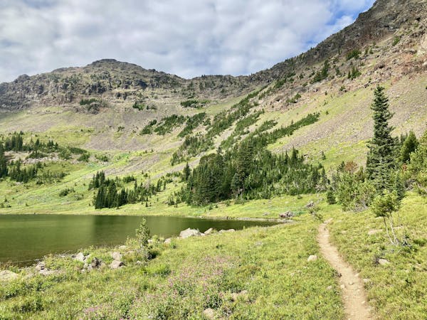
Take some time to enjoy the stunning view from the summit—you've earned it! Unless you're connecting to a bigger objective (part of this route runs concurrently with the Bridger Ridge trail), return to your car the way you came.
Note:
The Bozeman area is renowned as prime grizzly bear country. Signs at every trailhead warn that bears are highly active in the area. To mitigate the risk of bear encounters, make plenty of noise while running, try to travel with a group of people, and consider attaching a bear bell to your backpack. Also, make certain that you carry bear spray with you every time you head into the mountains, in case you do get into an encounter with a grizzly.
Sources: https://www.summitpost.org/sacagawea-peak/152809 https://outsidebozeman.com/trails-tours/hiking-trails/sacagawea-peak-trail https://en.wikipedia.org/wiki/SacagaweaPeak
Severe

Some trail sections have exposed ledges or steep ascents/descents where falling could cause serious injury.
Little chance of being seen or helped in case of an accident.
185 m away
A tough, technical, exposed traverse of the rugged Bridger range.
Extreme Trail Running
2.5 km away
A fantastic backcountry loop serving up stunning views and rewarding singletrack
Difficult Trail Running
7 routes · Trail Running