Foxtail
Path 1 - Long Shadows - Foxtail/patroller Ridge - top of JJ’s
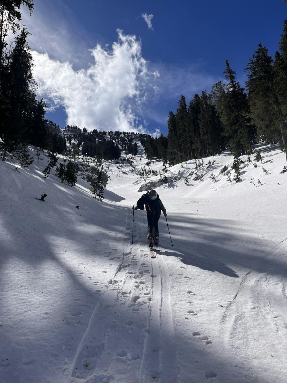
Ski Touring Difficult
- Distance
- 5.4 km
- Ascent
- 449 m
- Descent
- 745 m
- Duration
- 2-3 hrs
- Low Point
- 2.6 km
- High Point
- 3.3 km
- Gradient
- 31˚

This is a popular ski touring route which is generally considered to be difficult. It's remote, it features medium exposure (e2) and is typically done between January and April. From a low point of 2.6 km to the maximum altitude of 3.3 km, the route covers 5.4 km, 449 vertical metres of ascent and 745 vertical metres of descent. It's graded 3.1 and Labande grade 3. You'll need skins to complete it safely.
- •
- •
- •
- •
Description
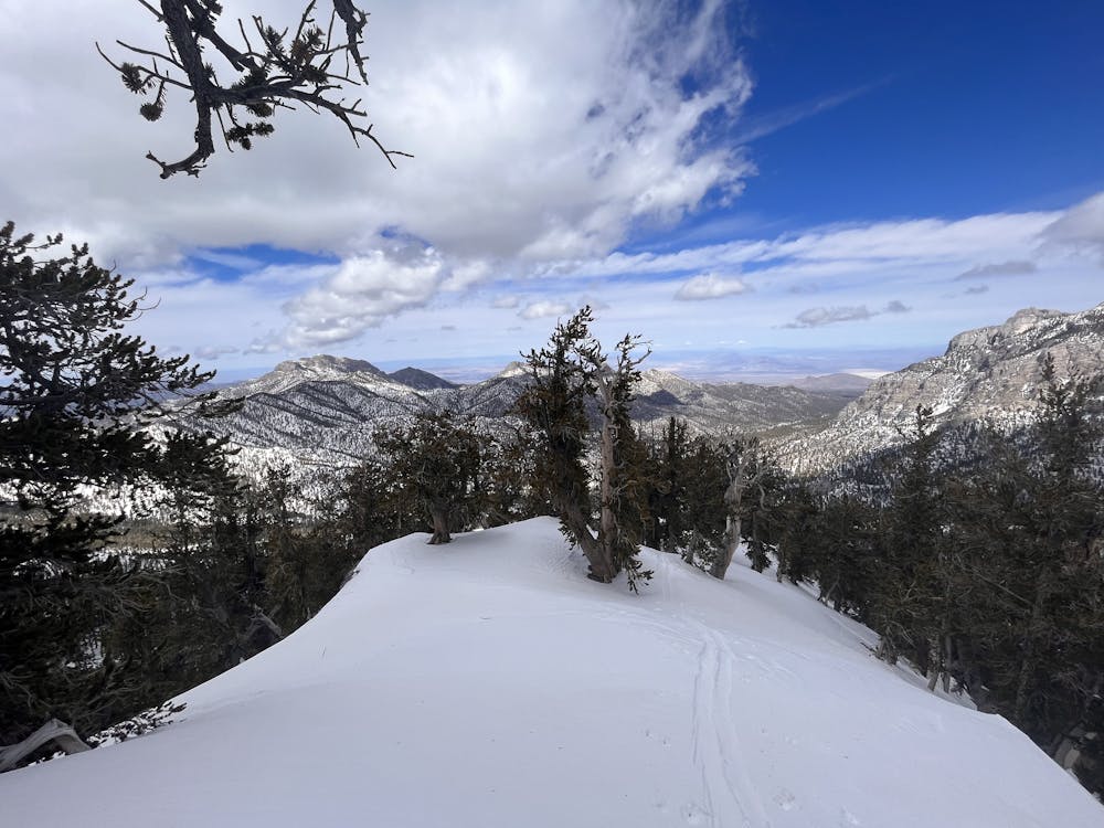
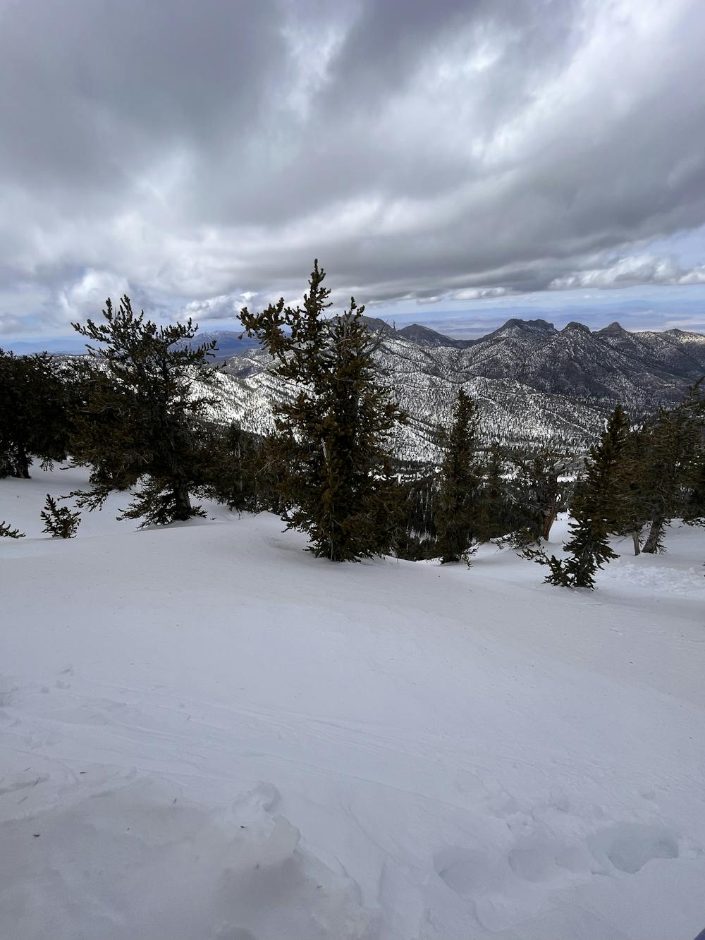
Next canyon over from the resort, spits you out at the Camp.
Difficulty
Difficult
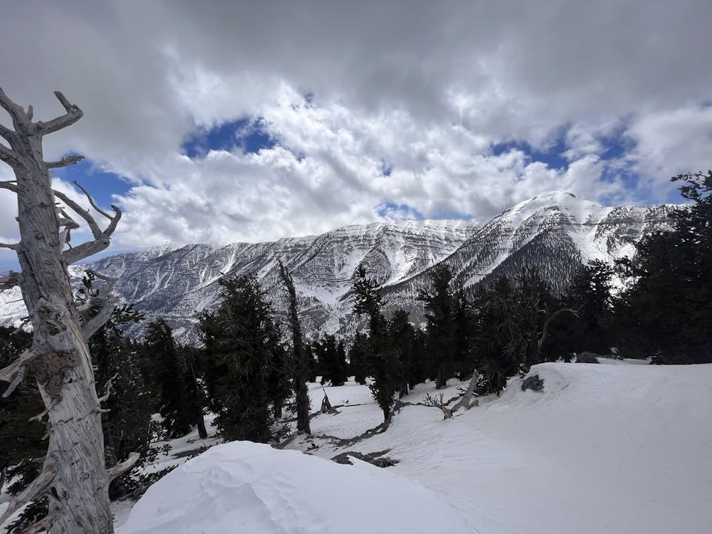
Serious gradient of 30-38 degrees where a real risk of slipping exists.
Medium Exposure (E2)

As well as the slope itself, there are some obstacles (such as rock outcrops) which could aggravate injury.
Remoteness
Away from help but easily accessed.
Best time to visit
Features
- Cliffs
- Couloir
- Tree Skiing
Equipment required
- Skins