Mount Kancamagus
Route from the Kancamagus Highway to the summit of Mount Kancamagus.
Hiking Severe
- Distance
- 1.7 km
- Ascent
- 472 m
- Descent
- 0 m
- Duration
- 1-2 hrs
- Low Point
- 668 m
- High Point
- 1.1 km
- Gradient
- 21˚

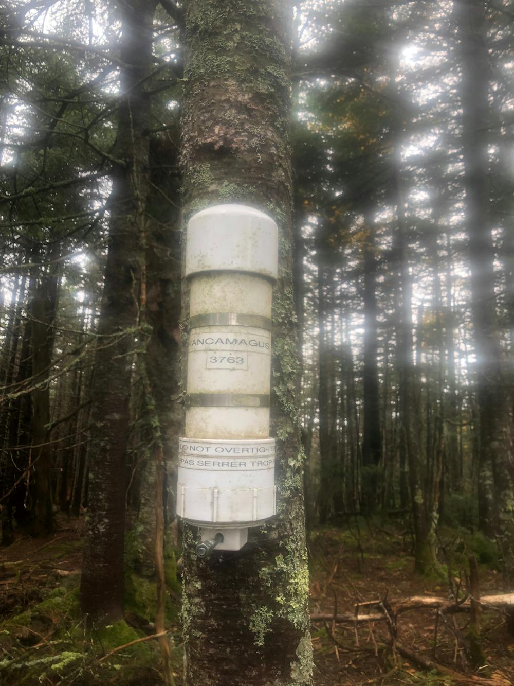
This route ascends a small brook, then continues up the east face to the summit ridge. The bushwhack mostly features open woods, but you may encounter very thick spruce just before the summit ridge. Mount Kancamagus is on the New Hampshire Hundred Highest, a peakbagging list that features many intense bushwhacks. As with all summits on this list, the high point is marked with a canister containing a register log. Be warned, this is by no means a leisure hike, it involves a great deal of effort and good navigation skills.
Difficulty
Severe
Hiking challenging trails where simple scrambling, with the occasional use of the hands, is a distinct possibility. The trails are often filled with all manner of obstacles both small and large, and the hills are very steep. Obstacles and challenges are often unexpected and can be unpredictable.
Extreme Exposure

Some trail sections are extremely exposed where falling will almost certainly result in serious injury or death.
Remoteness

Little chance of being seen or helped in case of an accident.
Best time to visit
Features
- Wildlife
- Summit Hike
- Water features
- Forestry or heavy vegetation