Burt Ravine
A fun adventure tour on the west side of Mount Washington
Ski Touring Difficult
- Distance
- 1.8 km
- Ascent
- 91 m
- Descent
- 538 m
- Duration
- 0-1 hrs
- Low Point
- 1.1 km
- High Point
- 1.6 km
- Gradient
- 39˚

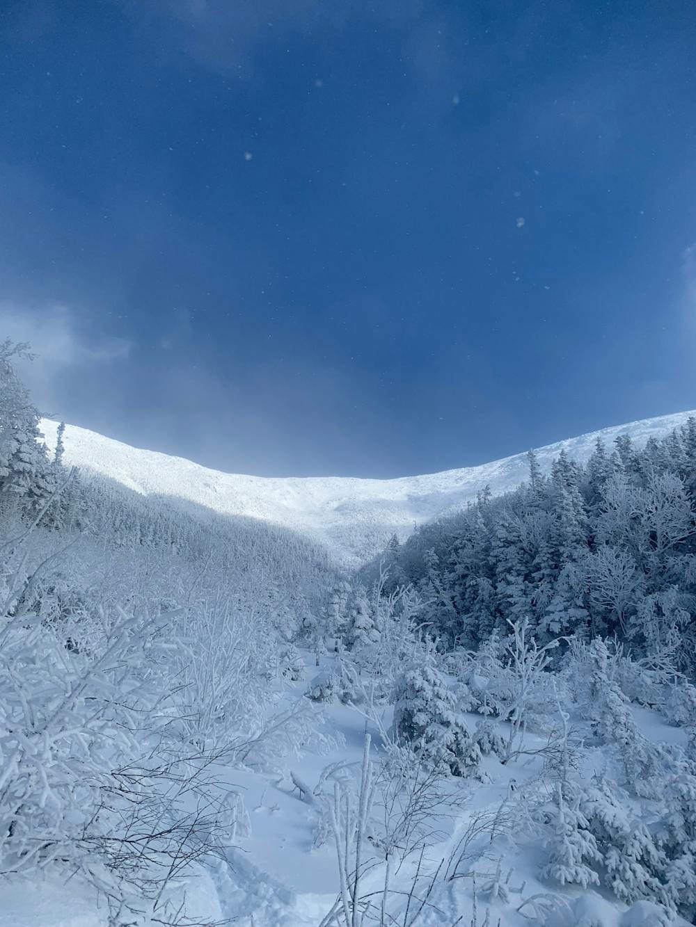
Burt Ravine is a very lightly skied Ravine for a few reasons. It's very hard to get out of, it takes a lot of snow to fill in, and theres much easier tours nearby. But like every remote ravine in the Whites, skiers seeking solitude do come here. Approach via the Cog Railway, once on the summit ridge traverse into Burt Ravine. Ski slowly over the blind roll until you can see the whole route. The upper section is comprised of two main gullies and many options for variations. Because it all drains through the same riverbed, it is a major terrain trap, so you will need to be stellar in your avalanche evaluation. Once in the drainage gully, the challenge begins, you'll need to navigate bushes, trees and open water. Once below treeline, you will be in some neat glades. In big years, you can ski all the way to Jewell Trail. In most years, its better to throw the skins on and traverse out to a rock slide. This rock slide makes for an easy escape route and you can even ski a lap here if you want. Once at the top, you'll need to bushwhack through thick woods back to the Cog Railway. Because there's no trails in this ravine, rescue is very difficult. Keep this in mind before you ski here.
Difficulty
Difficult
Serious gradient of 30-38 degrees where a real risk of slipping exists.
Medium Exposure (E2)

As well as the slope itself, there are some obstacles (such as rock outcrops) which could aggravate injury.
Remoteness

In the high mountains or remote conditions, all individuals must be completely autonomous in every situation.
Best time to visit
Features
- Bowl
- Alpine
- Ski Safari
- Tree Skiing
- Ski Mountaineering
Equipment required
- Skins