Gulf Of Slides Ski Trail
A classic New England style ski trail that serves as the approach and exit for Gulf Of Slides
Ski Touring Moderate
- Distance
- 3.6 km
- Ascent
- 613 m
- Descent
- 12 m
- Duration
- 2-3 hrs
- Low Point
- 616 m
- High Point
- 1.2 km
- Gradient
- 27˚

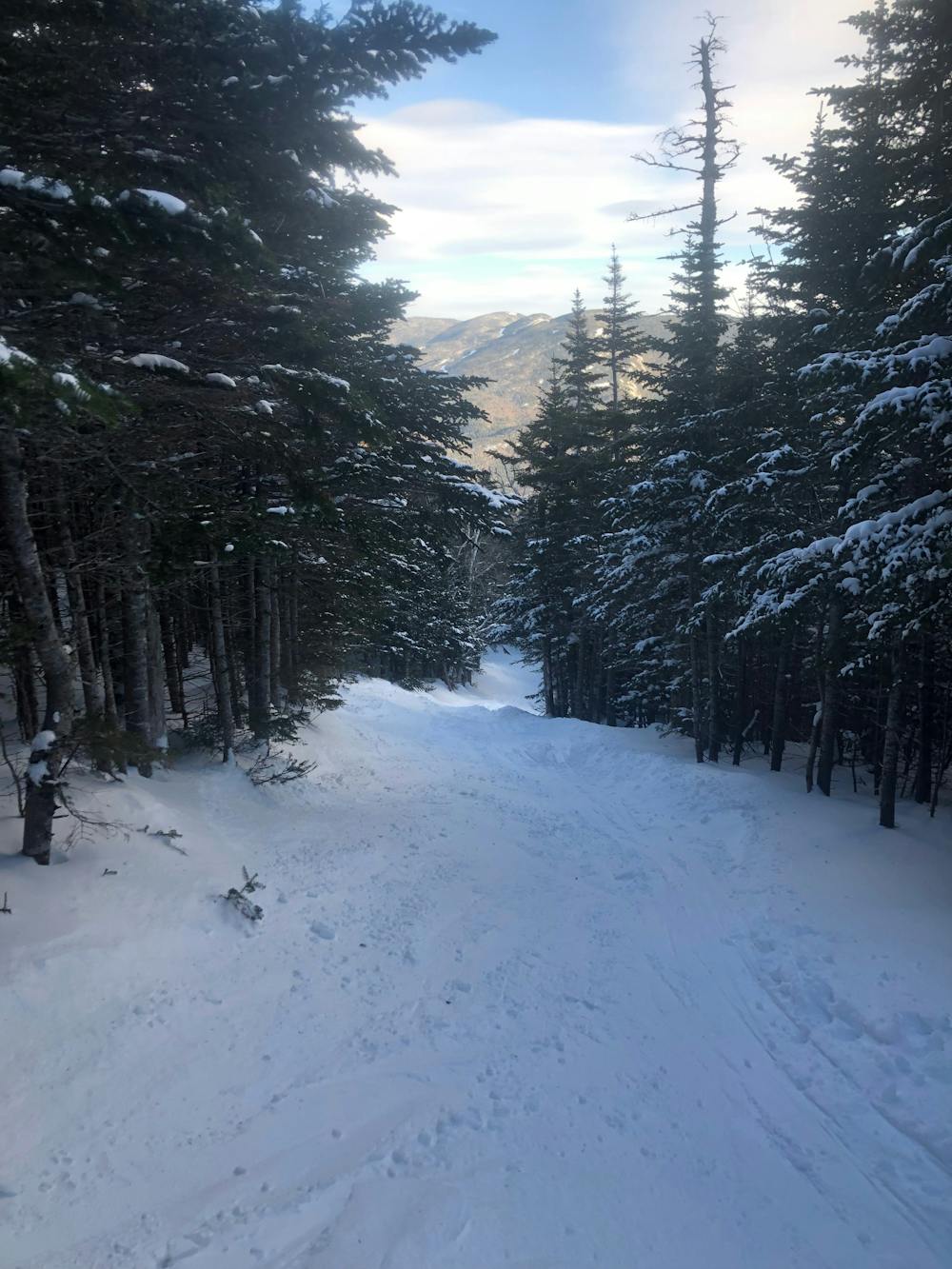
From the Pinkham Notch visitors center, near the exit of the Sherburne Trail, follow trail signs to the Gulf Of Slides Trail. This trail is a bit longer and harder than the Sherbie, you will need to cross a few rivers, especially in early season. The biggest of these crossings is at the very bottom. When ascending, keep your eyes on the woods to lookers left for a short cut. This skirts a few switchbacks on a somewhat unofficial trail, keep in mind you can not ski back down this way. Follow the trail until you cross a large drainage, this will give you your first view of GOS, in a zone called, The Fingers. to get to the main gullies, continue be up the trail. There is a small rescue cache, then the trail terminates right below, Gully #1. You can ski down from here, or do some exploring in the high alpine of Gulf Of Slides. The ski down is very exciting and a little more dynamic than the Sherbie.
Difficulty
Moderate
Slopes become slightly steeper at around 25-30 degrees.
Medium Exposure (E2)

As well as the slope itself, there are some obstacles (such as rock outcrops) which could aggravate injury.
Remoteness
Away from help but easily accessed.
Best time to visit
Features
- Single Descent
Equipment required
- Skins