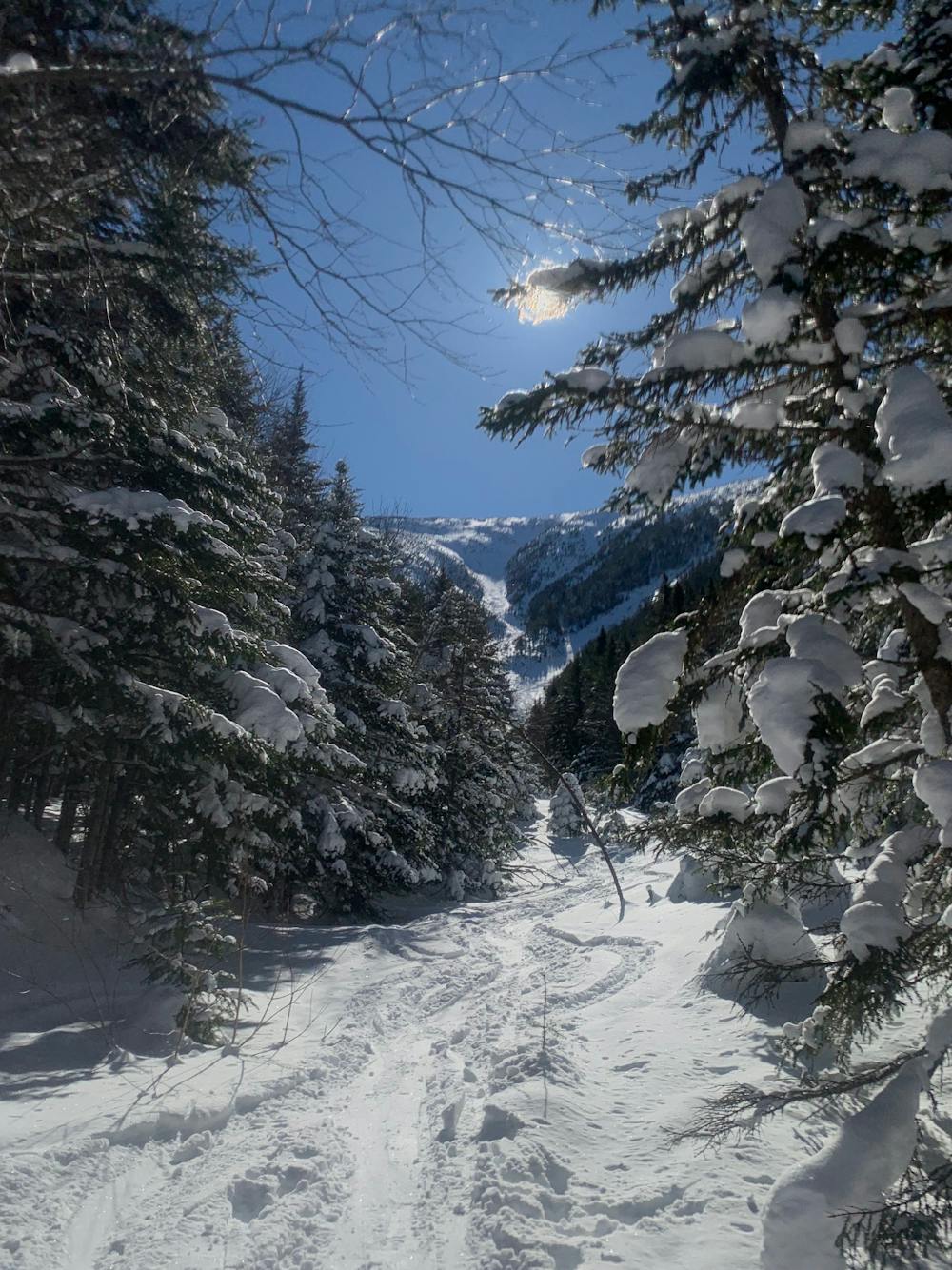
Monroe Brook
An exciting gully in Ammonoosuc Ravine
Ski Touring Moderate
- Distance
- 2.7 km
- Ascent
- 2 m
- Descent
- 608 m
- Duration
- 0-1 hrs
- Low Point
- 819 m
- High Point
- 1.4 km
- Gradient
- 38˚

Monroe brook is a fan favorite on the west side due to it's ease of access and reliable snow. Skin along the Ammonoosuc Ravine Trail until you reach a discrete drainage. Ascend through evenly spaced trees along the brook until you reach the base of a large slide path. Monroe Brook ascends steadily until it terminates in alpine vegetation. The upper section tends to be scoured, so you may need to bootpack this part with crampons. The skiing down Monroe Brook begins with a steep open gully, this slowly lets up and becomes lower angle. Towards the bottom, there are trees and bushes to tangle with, as well as open water holes in the early/late season. Find your way back into the glade and follow it back toward the hiking trail, be mindful that other people may be skinning up this way. Watch for snowshoers on the Ammonoosuc Ravine Trail as you ski out.
Difficulty
Moderate
Slopes become slightly steeper at around 25-30 degrees.
Medium Exposure (E2)

As well as the slope itself, there are some obstacles (such as rock outcrops) which could aggravate injury.
Remoteness

Little chance of being seen or helped in case of an accident.
Best time to visit
Features
- Alpine
- Tree Skiing
- Single Descent
- Ski Mountaineering
Equipment required
- Skins
- Ice axe
- Crampons