Mount Moosilauke via Carriage Road
The most fun way to experience Moosilauke on skis
Ski Touring Moderate
- Distance
- 12 km
- Ascent
- 775 m
- Descent
- 775 m
- Duration
- 4-5 hrs
- Low Point
- 721 m
- High Point
- 1.5 km
- Gradient
- 34˚

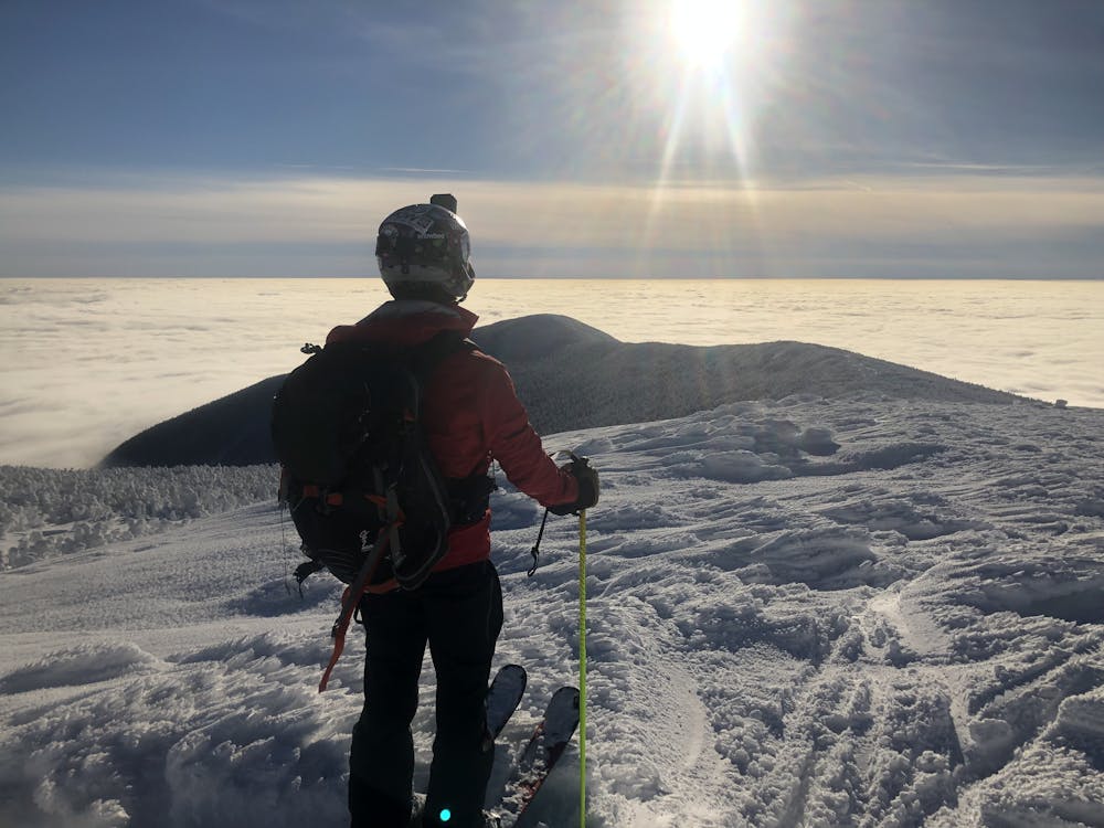
Mount Moosilauke is one of the most scenic ski descents in the White Mountains. For what it lacks in amount of alpine terrain and gnar, it makes up for in long, enjoyable skiing. From the trailhead, pass the Ravine Lodge and head up Gorge Brook Trail, take a left on Snapper Trail. Take a right on Carriage Road and continue until you reach a split. When conditions permit, you can take a right to the true summit. The peak offers views of the White Mountains and Vermont. The alpine snowfields are a rare treat, but when they are in, they are a playground of wind lips and rock jumps, and powder pockets. Assuming you dropped slightly off the ridge to avoid rime ice and snag fresh tracks, traverse back to the main trail at the treeline. Ascend a short hump, then begin a fast and narrow ski back to the split for Carriage Road. The Carriage Road is wider, but remember to control your speed as it is easy to lose control and hard to speed check, especially if it's firm. You can ski the Carriage Road all the way, but if you want an easy return to the Ravine Lodge, take Snapper Trail. This is a narrow, but mellow trail through pretty woods. Cross the bridge and return to Gorge Brook. This may be a bit more boney due to heavy snowshoe traffic. Finally, you'll return to the Ravine Lodge.
Difficulty
Moderate
Slopes become slightly steeper at around 25-30 degrees.
Medium Exposure (E2)

As well as the slope itself, there are some obstacles (such as rock outcrops) which could aggravate injury.
Remoteness
Away from help but easily accessed.
Best time to visit
Features
- Single Descent
Equipment required
- Skins
- Crampons