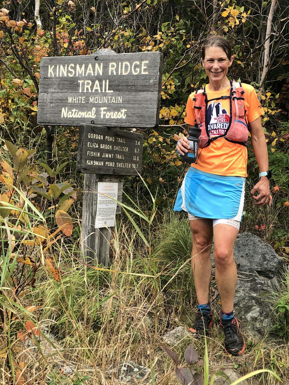
Kinsman Ridge
Cannon Mountain
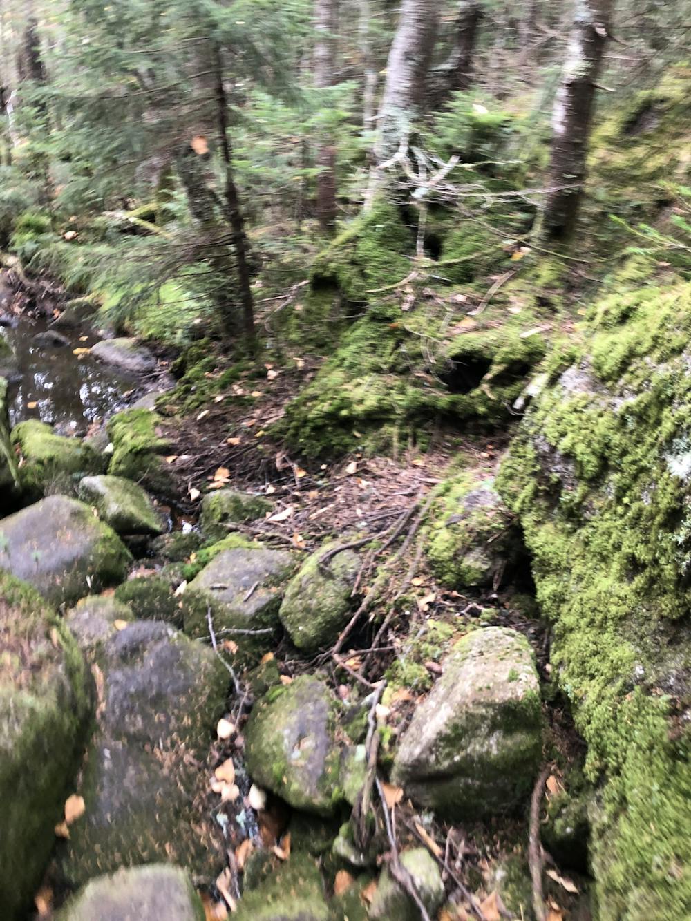
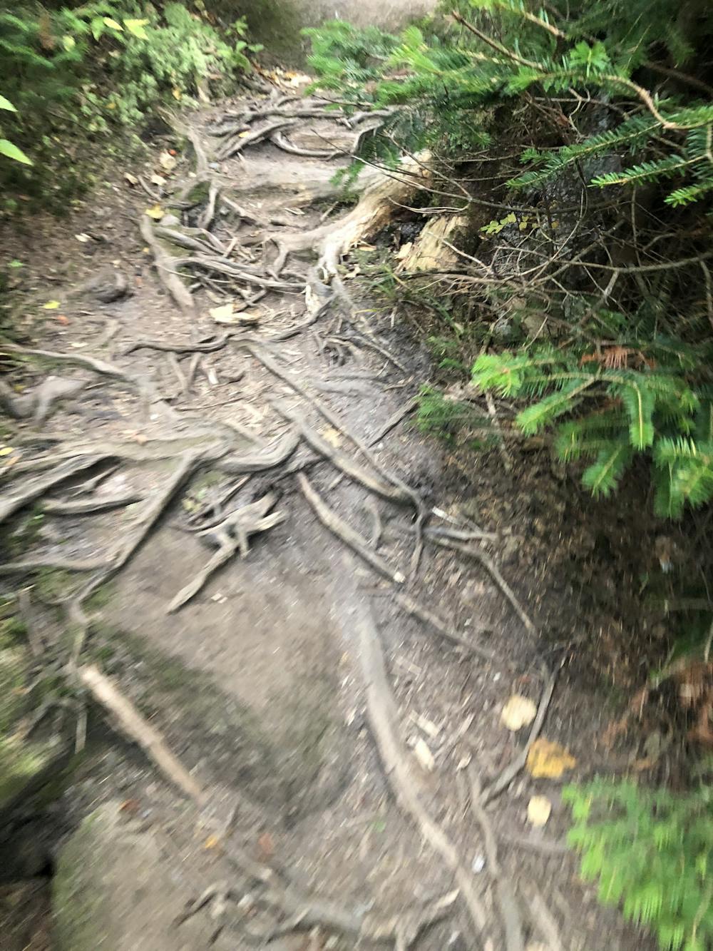
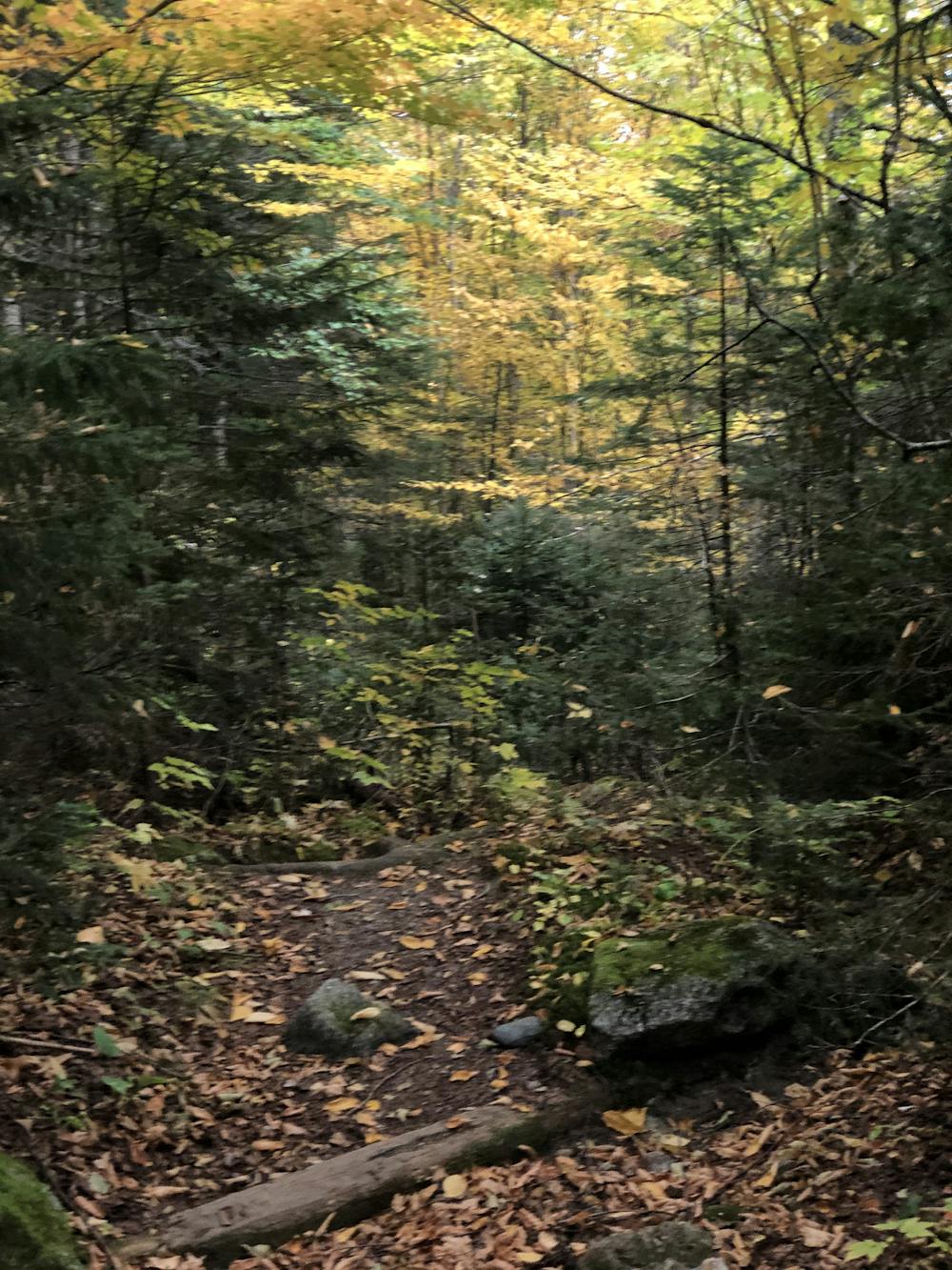
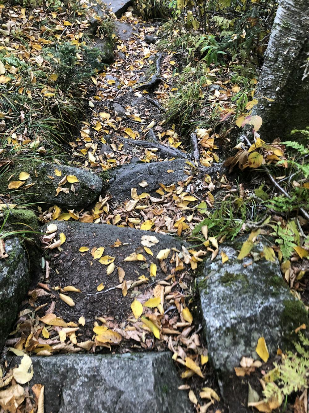
The 16 +-mile-long Kinsman Ridge Trail is one of the longest, toughest, but most rewarding ridge lines in the White Mountains, taking you up to open ridgeline ledges, scrambling through boulders, rambling across roots through thick forests, along streams, and past waterfalls and cascades.
Trail Running Difficult
- Distance
- 25 km
- Ascent
- 1.9 km
- Descent
- 2 km
- Duration
- 4-5 hrs
- Low Point
- 567 m
- High Point
- 1.3 km
- Gradient
- 18˚

The Kinsman Ridge is one of the classic New England ridges. A good portion of the ridge is along the Appalachian Trail. It is not quite as glamorous as the Presidential Ridge Traverse with views but it certainly merits points for its steep technical terrain, quite typical for the AT. The ridge can be done from North to South or South to North.
- •
- •
- •
- •
- •
- •
- •
Description
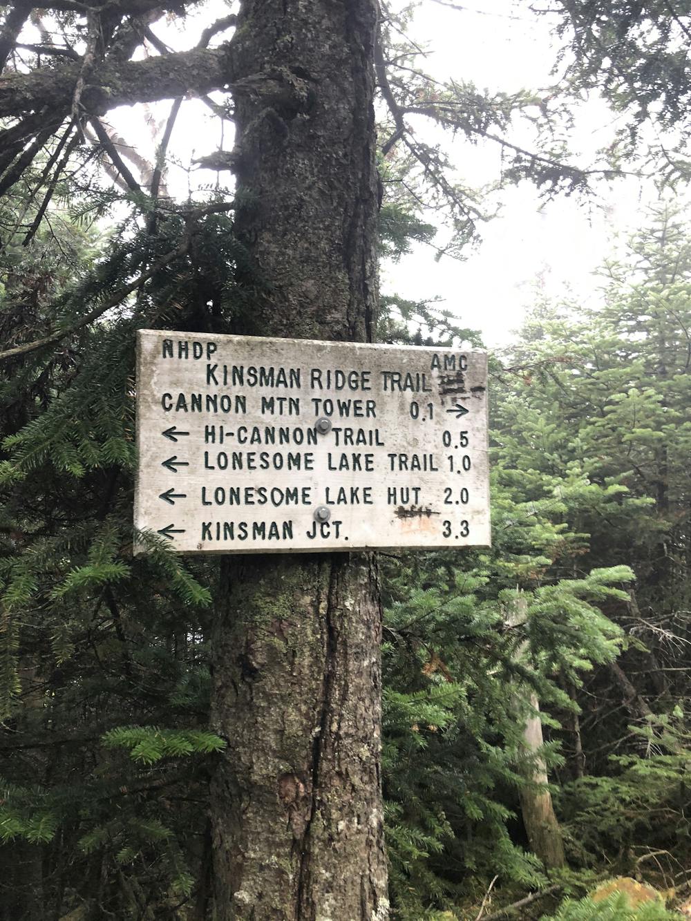
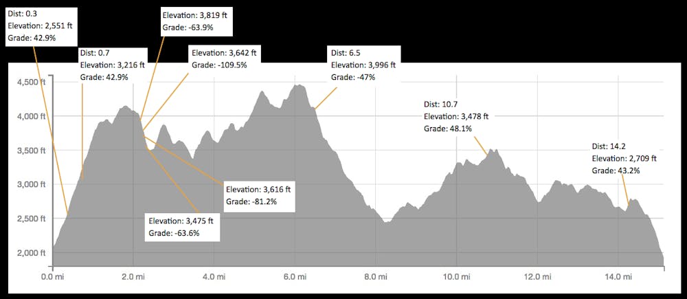
If starting in the North you are faced with one of the steepest mile ascents in New England with a climb of 1700 feet to the top of Cannon Mountain. This is an extremely varied route with steep technical climbs and descents with some runnable terrain. On a clear day, you will have some great views at the top of Cannon. There are also a couple of lookout points, but for the most part, it's in the trees.
From the North, park at the Cannon Tramway parking lot and ascend Kinsman Ridge Trail. You will need to shuttle a car or have a pick up at route 112 where the Appalachian Trail crosses the road. Total mileage is about 16 miles with over 6,600 feet of elevation gain.
Difficulty
Difficult
High Exposure

Some trail sections have exposed ledges or steep ascents/descents where falling could cause serious injury.
Remoteness

Away from help but easily accessed.