11 routes · Trail Running
An epic trail run near Brattleboro, Vermont that will make you feel like you're deep in the backcountry.
Trail Running Difficult

Just across the river from Brattleboro, Vermont, this is one of the top hidden gem trail runs you will find anywhere in New England. Steep doubletrack joins into remote backcountry singletrack as it circles the stunning and serene Indian Pond, then the circuit ends with a quad-busting and demanding descent down the infamous Mine Ledge Trail. Whether you're traveling or local, this is a must-do run that will leave you with memories to last a lifetime.
The run begins behind the old Wal-Mart across the river from downtown Brattleboro. Technically in New Hampshire, the parking area is rather small, though there is plenty of space in the adjacent shopping center. Neither restrooms nor water are available, though corner stores, gas stations, and even a brewery can be found with a mile of the trailhead. A post-run brew comes highly recommended, especially from locals.
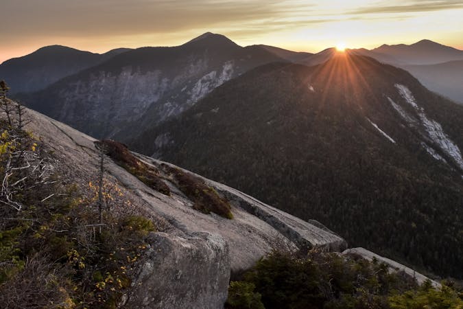
There are three distinct portions to this run as it begins in a clockwise orientation. From the trailhead, the route climbs steeply as it follows an old road to the top of Wantastiquet Mountain. At times, the trail may transition seamlessly between steep singletrack and mellow doubletrack.
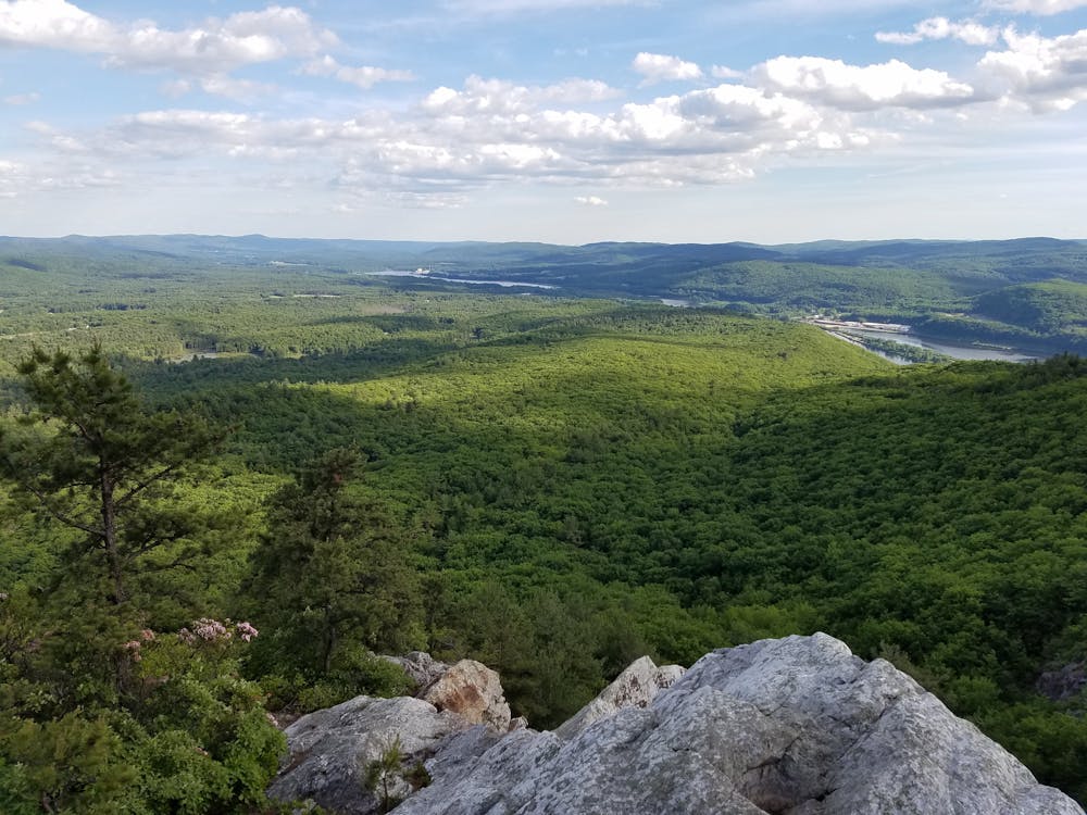
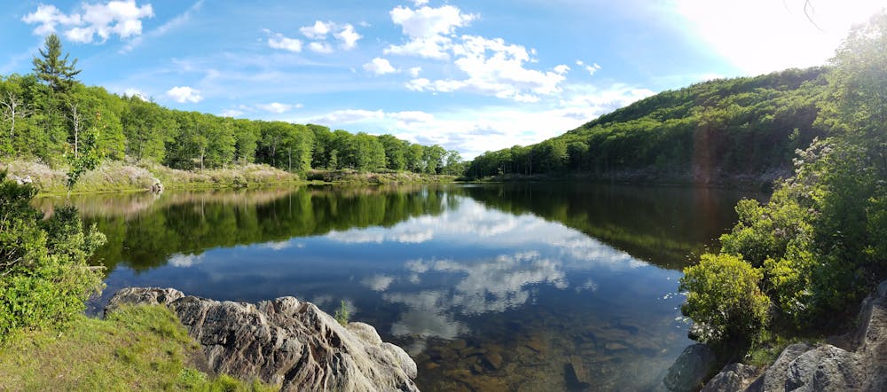
After enjoying the spectacular view from the summit, the trail leads to the Anne Stokes Loop in Madame Sherri Forest. The path is often tight and narrow, and could be overgrown mid-summer as you drop down to Indian Pond. Due to its remoteness, the pond sees few visitors, though its mirror-like surface often yields stunning photos of the deep green mountainside as it reflects off the cool waters.
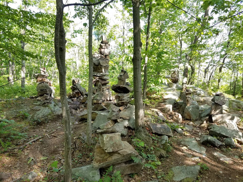
Leaving Indian Pond, the Anne Stokes Loop and Daniels Mountain Loop both tour stunning and remote singletrack deep in the forest. As loops, you could do one, both, or skip them altogether as you turn back to the trailhead. The final leg of the run is nothing short of spectacular, as it follows a trail known as the "Mine Ledge" before dumping out on snowmobile trails near the main road. As you descend, keep a close eye on the trail, and look for the side trail that leads to an abandoned just below the crest of the ridge.
A brief stretch of road connects the end of the trail and the trailhead about 1/4-mile away.
Difficult

Some trail sections have exposed ledges or steep ascents/descents where falling could cause serious injury.
Little chance of being seen or helped in case of an accident.
11 routes · Trail Running