Mt Cardigan Dream Loop
Cardigan's Dream Loop is the epitome of a New England Adventure- including rugged rocky and rooty technical terrain, scrambling across granite slabs, meandering in lush fairy forests, with eye opening 360 degree vistas.
Trail Running Difficult
- Distance
- 18 km
- Ascent
- 1 km
- Descent
- 1 km
- Duration
- 3-4 hrs
- Low Point
- 417 m
- High Point
- 952 m
- Gradient
- 13˚

This is called the “Dream Loop” for a reason. This loop is the perfect loop up and around Cardigan Mountain State Park encompassing a variety of trails.

- •
- •
- •
- •
- •
Description
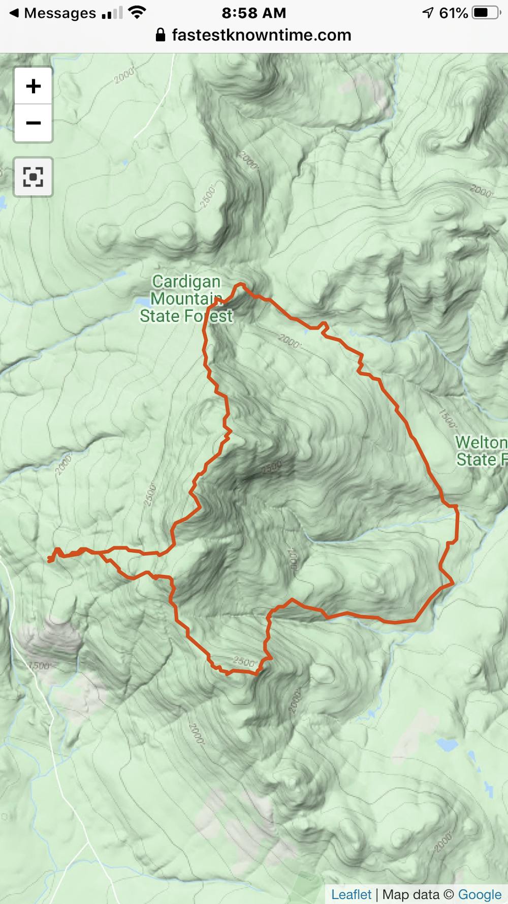
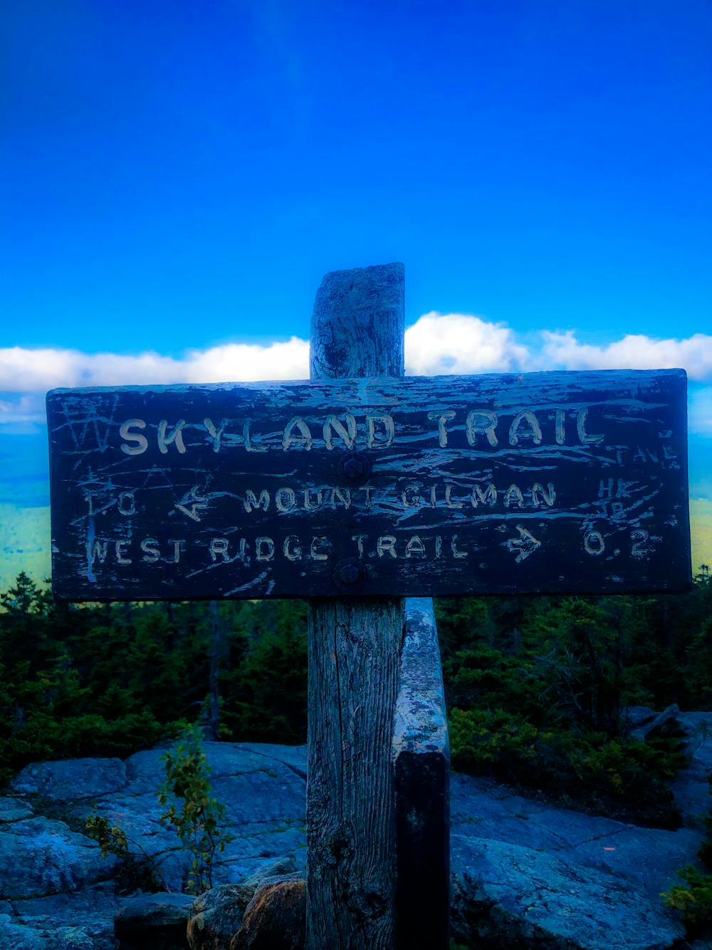
Begin at the state park parking lot in Orange: Directions: Take the West Ridge Trail, right onto South Ridge Trail to Cardigan Rimrock, right on Skyland Trail to Mount Gilman, past the summit of Gilman take the left onto Vistamont Trail, right on Clark Trail, bear left onto Woodland Trail (old logging road), then left onto Woodland Trail, arrive at AMC Lodge!, left onto Manning Trail, right onto Back 80 Trail through the remote woods, left on Mowglis Trail up and over the summits of Firescrew and Cardigan, then down the West Ridge Trail back to your car.
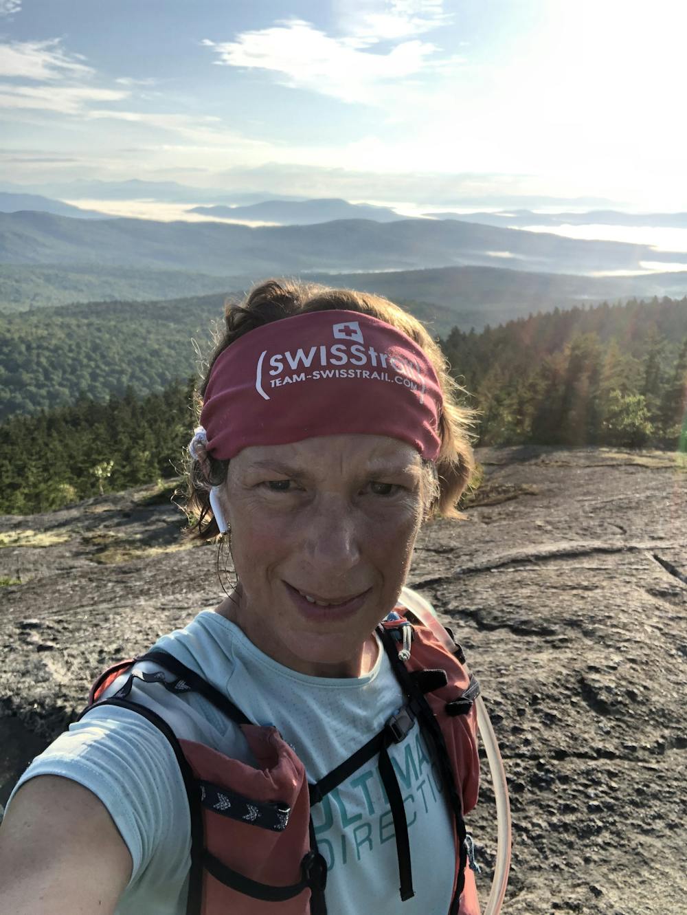
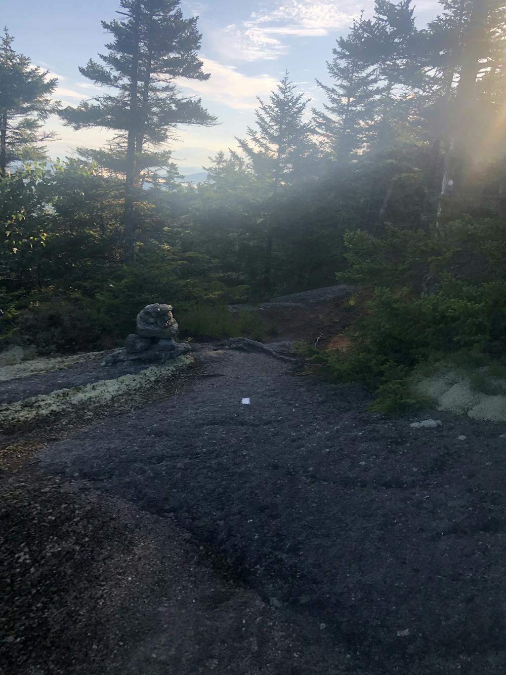
For the most part the route is quite intuitive circumventing the peak counter clockwise. The back trails after the AMC lodge are mossy and untouched much like a fairy garden.. The ridge line from Mowglis to Firescrew and Cardigan is a granite slab playground. The descent off Mt Cardigan’s summit is above tree line with incredible views of the surrounding areas. The wind often whips at high speeds at the summit.
Total mileage: 11+ miles, +3,000ft elevation gain.
Difficulty
Difficult
High Exposure

Some trail sections have exposed ledges or steep ascents/descents where falling could cause serious injury.
Remoteness

Away from help but easily accessed.