6.8 km away
Gold Hill
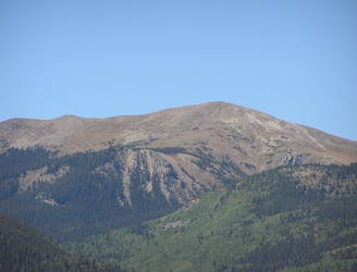
A beautiful above-alpine peak in the Sangres.
Easy Alpine Climbing
- Distance
- 16 km
- Ascent
- 1 km
- Descent
- 1 km
A non-technical but steep climb to Lobo Peak
Alpine Climbing Easy

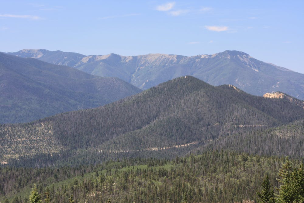
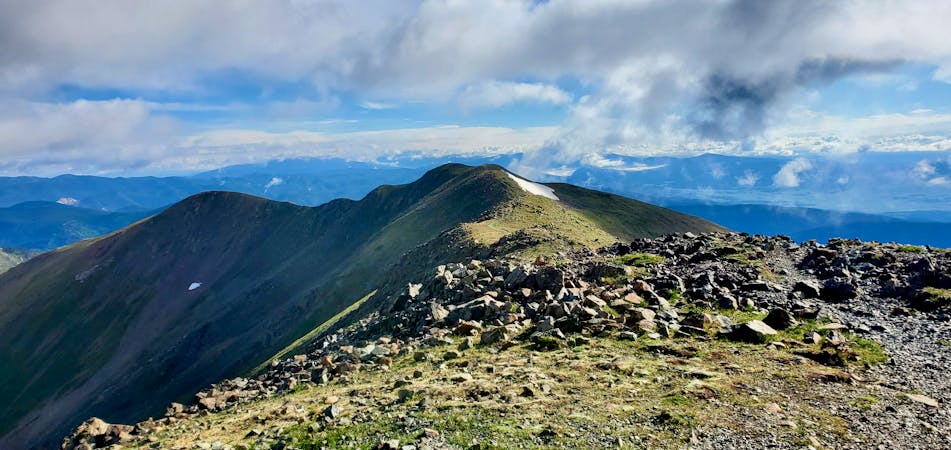
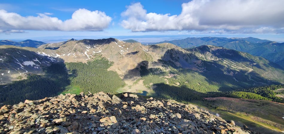
Lobo Peak rises to a height of 12,115 feet above sea level, making it "the highest point in the small range of mountains that lies between the Rio Hondo and the Red River," according to the USFS. The mountains here rise dramatically from the canyon below, making for a steep climb to gain the summit and spectacular views once you get there. From the top, you can see the Taos Plateau, Rio Grande Gorge, Latir Peaks, and of course, Wheeler Peak—the highest point in the state of New Mexico.
The route mapped here follows the Yerba Canyon trail to reach the top of Lobo Peak. You could also opt to climb Manzanita Canyon, connect to the Lobo Peak Trail from Italianos Canyon, or even ascend from the north via San Cristobal Canyon to the Lobo Peak Trail. That said, Yerba Canyon is one of the most popular ways to access this vaulted peak.
The 8-mile round-trip distance sounds achievable, but the climb is steep: you'll gain almost 3,900 vertical feet one-way on the way to the summit. The climb up Yerba Canyon is characterized by massive aspen groves, "willows in the lower elevation, and spruce and fir toward the ridge," according to the USFS.
The trail crisscrosses a creek the entire way up, which offers plenty of opportunity for refilling your water (as long as you treat it properly). Consequently, this might be a hike that's best saved for later in the season when the water levels are lower. Early in the spring, the snowmelt flowing down off the mountains can be torrential, proving difficult or dangerous during the many stream crossings.
Choose your time of year carefully, but when you make it to the summit, you'll be glad you persevered!
Easy
The ascent involves simple glacier hiking and/or short, straightforward rock scrambles. Equivalent to Alpine F, F+

The route features some exposed and/or difficult to protect sections.

Little chance of being seen or helped in case of an accident.
6.8 km away
A beautiful above-alpine peak in the Sangres.
Easy Alpine Climbing
7.1 km away
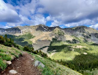
The most direct route to New Mexico's 13,161-foot high point.
Easy Alpine Climbing
10 routes · Alpine Climbing · Hiking
4 routes · Alpine Climbing · Hiking
5 routes · Alpine Climbing