267 m away
South Baldy
A hidden gem located in the heart of the Magdalena Mountains.
Difficult Hiking
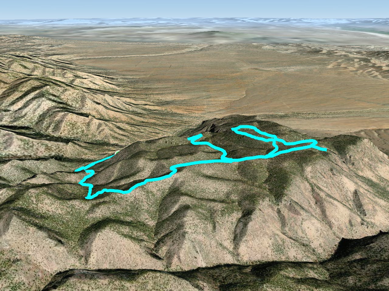
- Distance
- 19 km
- Ascent
- 1.2 km
- Descent
- 1.2 km
A trek through picturesque rock formations, leading to a panoramic overlook.
Hiking Difficult
To begin the route, park at one of the many spots along Water Canyon Road. Water Canyon Campground and Picnic Area is also a great staging area that is only a short walk away.
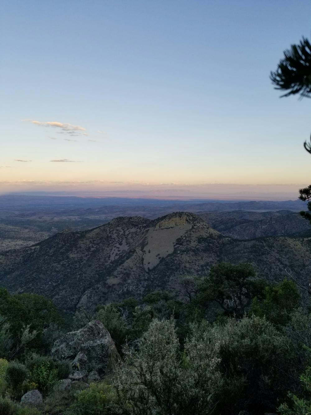
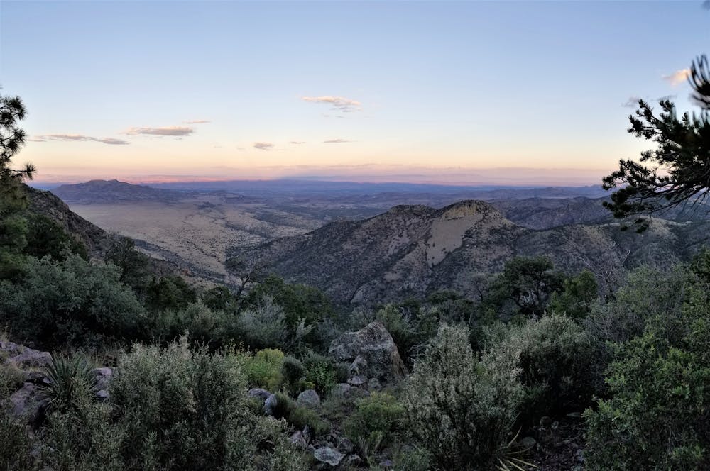
For an overnight option, plan your trip so that you can enjoy the sunset and sunrise near the overlook. For a day trip, plan to spend some time there eating lunch and enjoying the view.
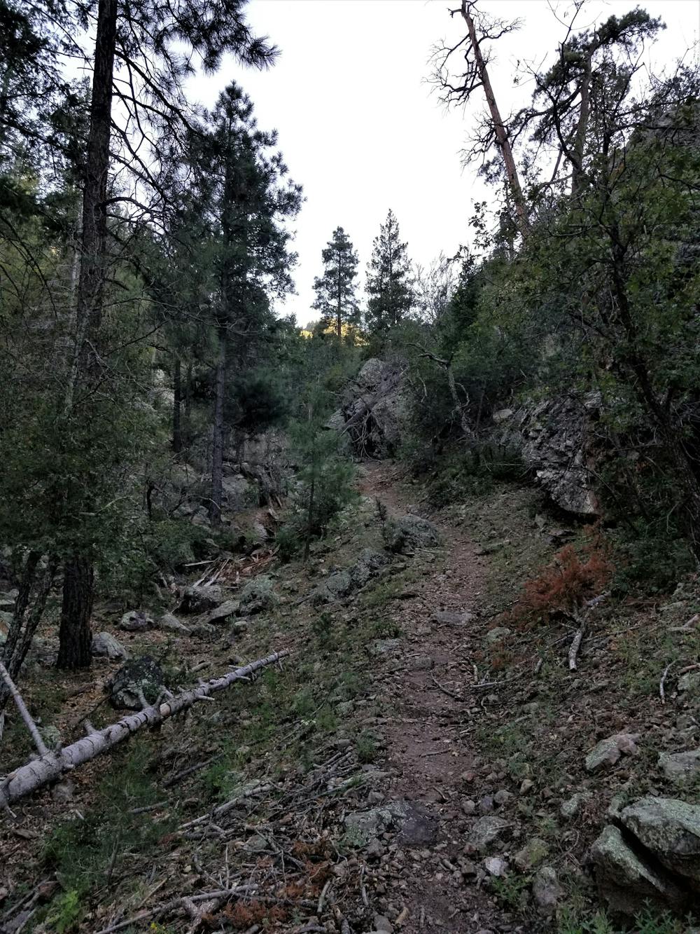
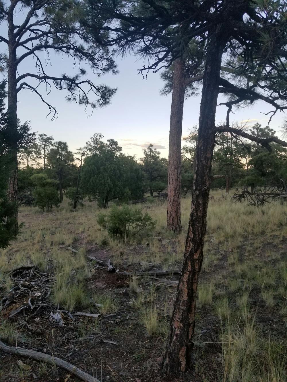
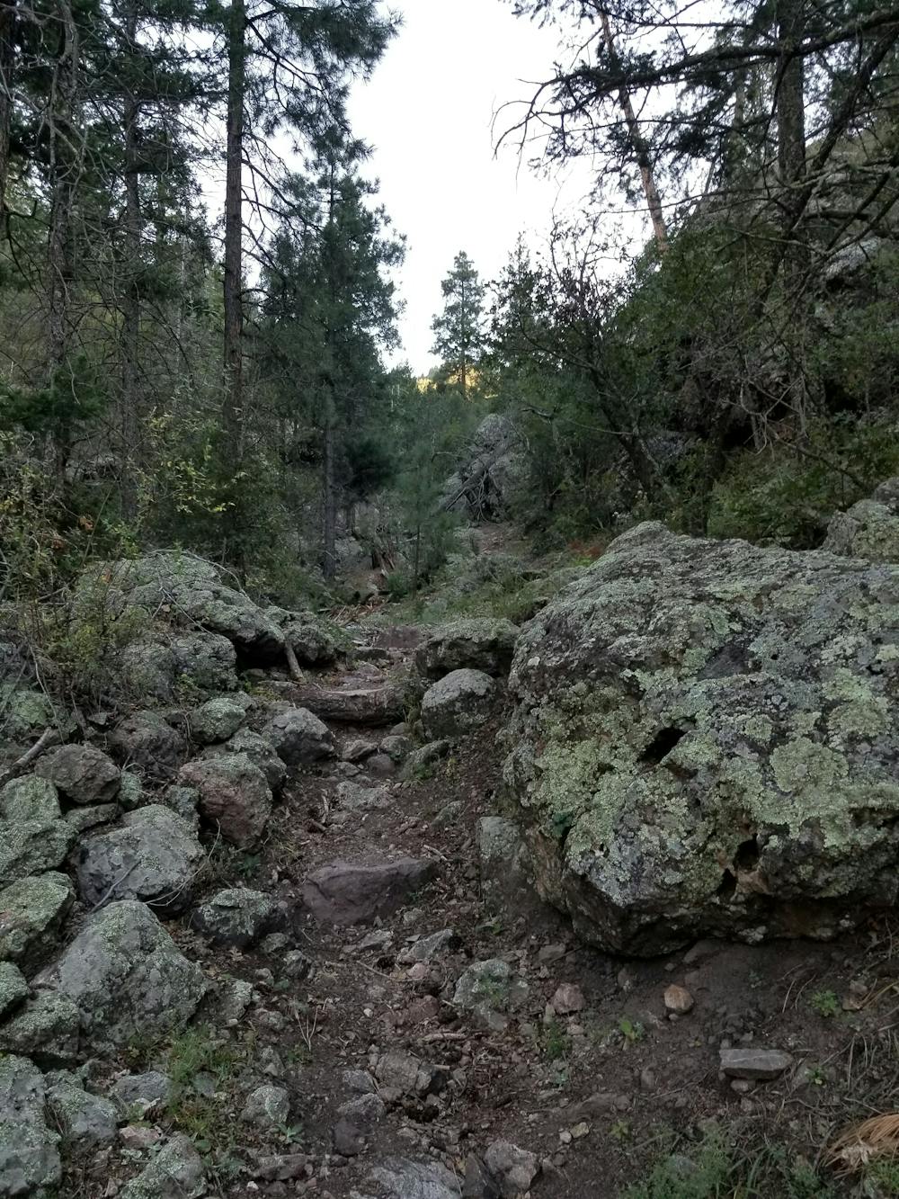
Just a short way up Water Canyon Road from the Picnic area is the beginning of the loop, sometimes referred to as Trail 13a. It is a steep approach, with several switchbacks that lead to the top of the mesa. The path leads through steep, rocky crags, a route that would seem impossible looking from the bottom up.
Once past the steep segments, the trail gradually ascends through pine forest to an intersection. From here, you could shorten the loop by turning right and heading back to the road.
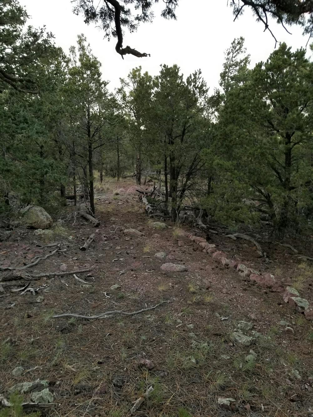
For the best views on the loop, take the left instead. A smaller loop at the edge of this route can be traversed in either direction and is well-marked.
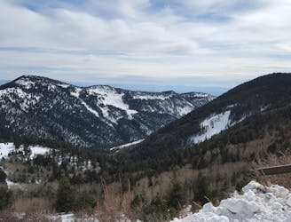
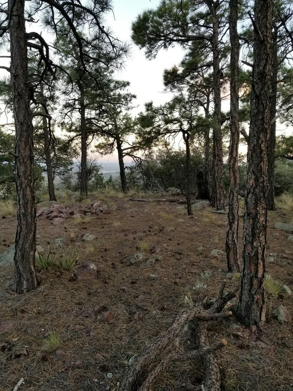
The overlook, denoted by a trail marker, is a short spur to the edge of a mesa, where you are rewarded with stunning views of the eastern portion of the Magdalena Mountains and surrounding desert.
Also along this portion of the loop, you will discover an old, weathered USFS project designed to provide wildlife with water during dry seasons. Should you look for it, an old brown sign denotes its significance.
Compared to the route up, the return trip is a breeze. Continuing down Trail #13, you will pass the intersection with the trail you ascended.
Soon after that begins a steady descent that leads to an intersection with another trail. Keep right and continue descending into the narrow drainage all the way back to Water Canyon Road.
Difficult
Hiking trails where obstacles such as rocks or roots are prevalent. Some obstacles can require care to step over or around. At times, the trail can be worn and eroded. The grade of the trail is generally quite steep, and can often lead to strenuous hiking.

The trail contains some obstacles such as outcroppings and rock which could cause injury.

Little chance of being seen or helped in case of an accident.
267 m away
A hidden gem located in the heart of the Magdalena Mountains.
Difficult Hiking

22 routes · Mountain Biking · Hiking · Trail Running