6 m away
Nambe Lake
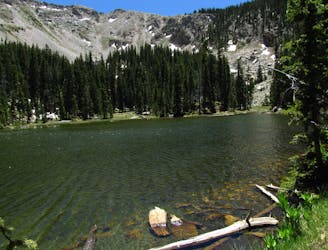
The most popular alpine lake hike in Santa Fe.
Difficult Hiking
- Distance
- 10 km
- Ascent
- 609 m
- Descent
- 609 m
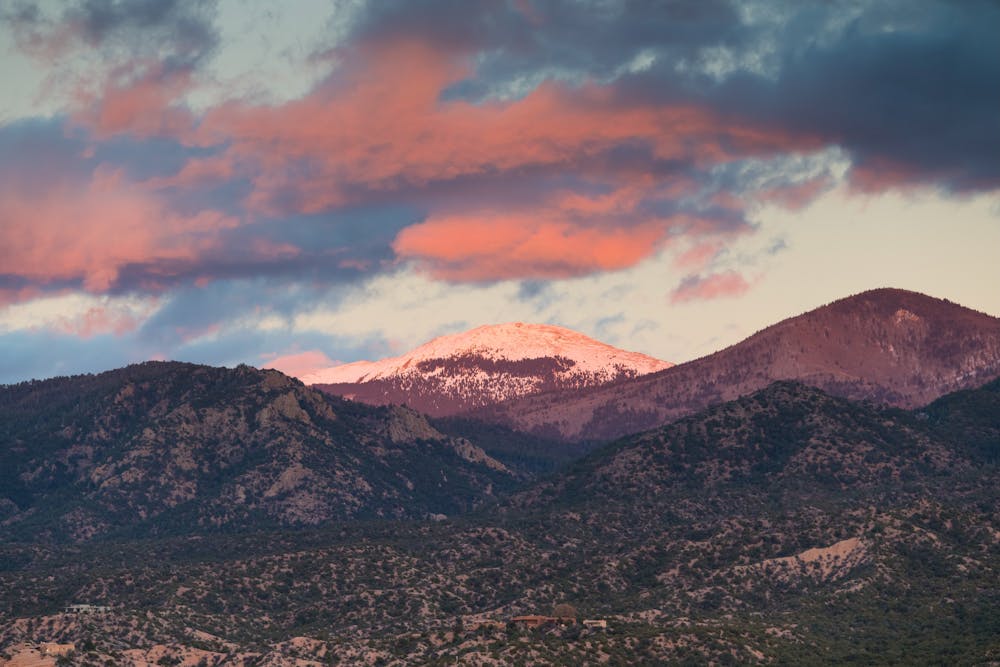
A beautiful climb to the top of New Mexico's 5th-tallest mountain.
Hiking Difficult

At 12,632 feet above sea level, Santa Fe Baldy reigns as the 5th-highest mountain in New Mexico. The most common hike to the summit begins at Santa Fe Ski Basin by following the Winsor Trail. Note that while the "Winsor Trail" is a very popular mountain bike route, you'll be taking a right on the Winsor Trail instead of a left, following a much-less-trod route to the summit of the mountain.
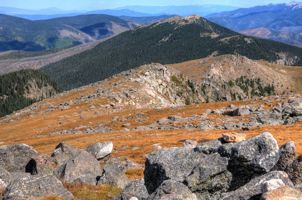
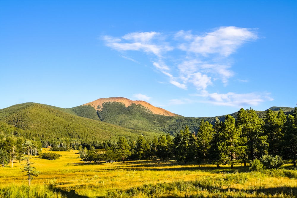
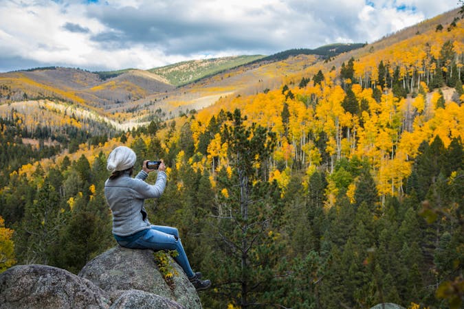
Shortly after departing from the Ski Basin, the trail enters the thick forest of the Pecos Wilderness. The forest here consists of a mix of aspens and conifers. During the fall, the aspens turn a brilliant gold, making this a fantastic late-season hike!
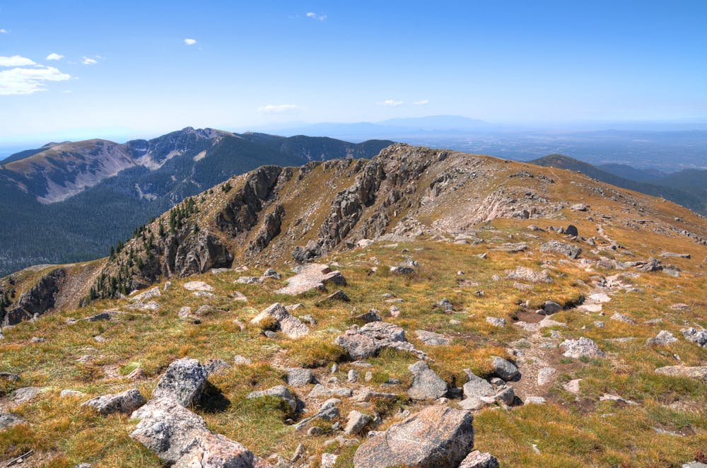
After turning off the Winsor Trail onto the Skyline trail, the hike begins gaining elevation quickly via a series of switchbacks. The tree cover begins to thin out, and as you hit the summit ridge and begin the final push to the summit of Baldy, you'll leave the treeline behind entirely, enjoying expansive views from the alpine tundra. In the upper section of the trail, you may need to watch out for rock cairns marking the best way forward.
The final push to the summit can be steep in places, but this is generally considered to be a very achievable peak climb. Most hikers with the stamina to cover 13.6 miles and 3,600 feet of elevation gain should be able to make it.
Once done on the summit, the shortest way back to the trailhead is found by retracing your steps. However, if you're prepared for a longer backpacking trip, Santa Fe Baldy could prove to simply be the first stop of a much longer loop!
Sources: https://www.outdoorproject.com/united-states/new-mexico/santa-fe-baldy-windsor-trail https://www.summitpost.org/santa-fe-baldy/151395 https://www.theoutbound.com/new-mexico/hiking/hike-santa-fe-baldy
Difficult
Hiking trails where obstacles such as rocks or roots are prevalent. Some obstacles can require care to step over or around. At times, the trail can be worn and eroded. The grade of the trail is generally quite steep, and can often lead to strenuous hiking.

The trail contains some obstacles such as outcroppings and rock which could cause injury.

In the high mountains or remote conditions, all individuals must be completely autonomous in every situation.
6 m away
The most popular alpine lake hike in Santa Fe.
Difficult Hiking
4 routes · Hiking