5.9 km away
Chihuahuan Desert Nature Trail
A short interpretative trail near the visitor center that highlights local flora and fauna.
Easy Hiking
- Distance
- 1.3 km
- Ascent
- 18 m
- Descent
- 18 m
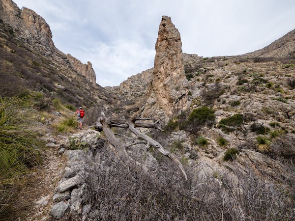
A 6-mile backcountry hike off of Desert Loop Road with striking views and diverse plant life.
Hiking Moderate

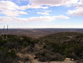
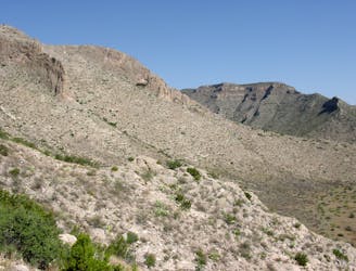
This loop links sections of the Rattlesnake Canyon and the Guadalupe Ridge trails, forming a moderate yet rugged backcountry hike off Desert Loop Road. Enjoy vast yet solemn canyon views along remote trails lined with a selection of juniper, mesquite, sotol, yucca, and plenty of other cactus varieties. As for native wildlife, keep an eye out for bighorn sheep, coyotes, birds, and of course - snakes.
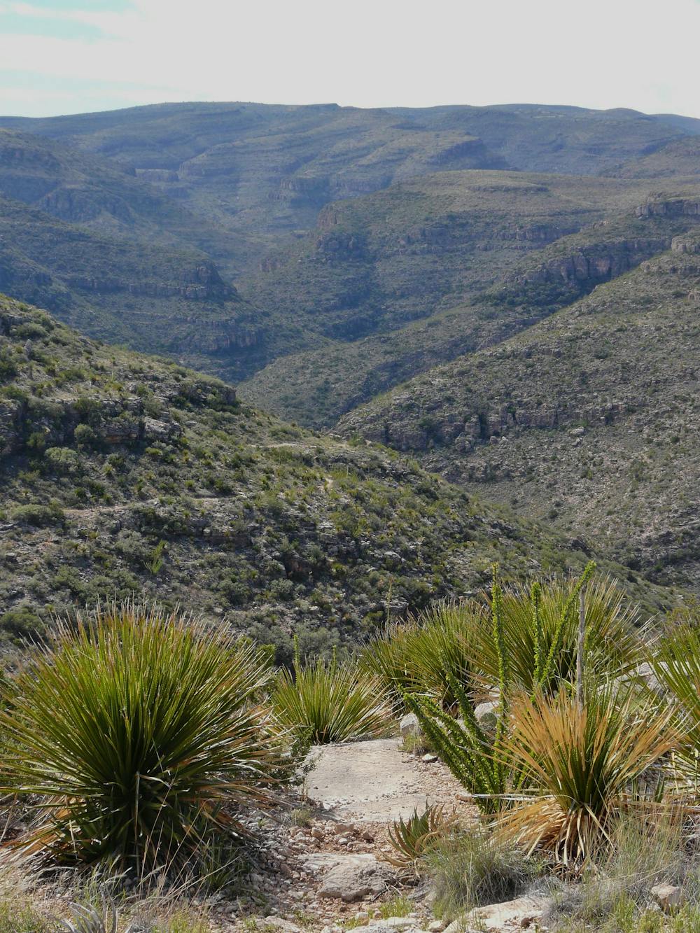
In this trail guide by explorenm.com, the author notes how this is one of their favorite hikes in Carlsbad thanks to the "variety of cacti and other desert plants, and some history," seen along the way. "If the preceding winter had sufficient precipitation," they continue, "the flowers are likely to be stunning in the spring."
As this hike begins and ends on Desert Loop Road, you must walk along the improved dirt road to form a loop. Most visitors choose to park at the Rattlesnake Canyon Trailhead, which rarely fills. You could also find a pull-off on the road and begin there. There is no preferred direction to hike the loop, and neither water nor restrooms are available along the way. The road is also not recommended for larger vehicles or passenger vehicles with low ground clearance.
As mapped, this loop is an excellent stand-alone day hike, but offers the option of a longer overnight trip along the Guadalupe Ridge Trail. Overnight use in Carlsbad, however, does require a permit "which can be obtained at the visitor center during business hours," according to the park.
Sources: https://www.explorenm.com/hikes/RattlesnakeCanyon/ https://www.nps.gov/cave/upper-rattlesnake-canyon-to-guadalupe-ridge-loop.htm
Moderate
Hiking along trails with some uneven terrain and small hills. Small rocks and roots may be present.

The trail contains some obstacles such as outcroppings and rock which could cause injury.

Little chance of being seen or helped in case of an accident.
5.9 km away
A short interpretative trail near the visitor center that highlights local flora and fauna.
Easy Hiking
6.8 km away

A short, paved path to a view overlooking Walnut Canyon.
Easy Hiking
8 km away

A short roadside hike with interpretive signs highlighting native peoples and their uses for desert plants.
Easy Hiking
8.3 km away
A rugged backcountry hike for anyone seeking solitude.
Difficult Hiking
8.3 km away
A rugged, yet short hike with excellent views of Slaughter Canyon.
Difficult Hiking
7 routes · Hiking

22 routes · Mountain Biking · Hiking · Trail Running

63 routes · Alpine Climbing · Hiking