22 routes · Mountain Biking · Hiking · Trail Running
A punishing, steady climb to the South Baldy summit, rewarded with an exhilarating descent.
Mountain Biking Difficult

Located in the heart of the Magdalena Mountains, this route delivers a backcountry experience like no other. Deep within a remote portion of the Cibola National Forest, very few people get to experience the true beauty of this hidden New Mexico gem.
According to Wikipedia, "The range takes its name from a volcanic peak on the west side, named Magdalena Peak, after Mary Magdalene. A talus formation and shrub growth on the east slope of Magdalena Peak is said to resemble a woman's face. According to Julyan's Place Names of New Mexico, one legend about the mountain purports that 'a group of Mexicans were besieged by Apaches on the mountain, when the face of Mary Magdalene miraculously appeared, frightening the Indians away.'"
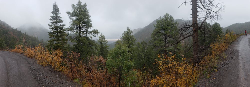
Water Canyon Campground and Picnic Area serves as the trailhead for most people. This free campground sees little use and is a great staging area for the route. There are two vault toilets, but no potable water.
Beginning up the road, you have two ways to the top, Water Canyon Road, or Trail #11 (South Baldy Trail, shown here). For those looking for a shuttle opportunity, the gravel road is seasonably accessible by high clearance 4x4 vehicles. To spend most of the day on singletrack, Trail #11 will be your preferred route up.
For an alternate ride, climb Water Canyon Road, to the top of #11. The trail is great both as a climb and descent.
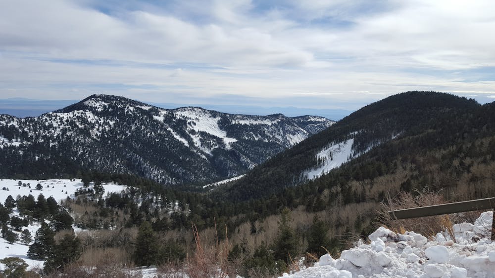
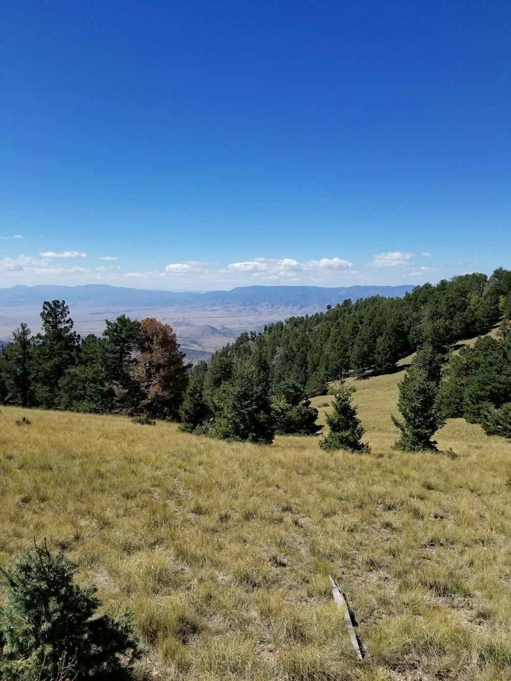
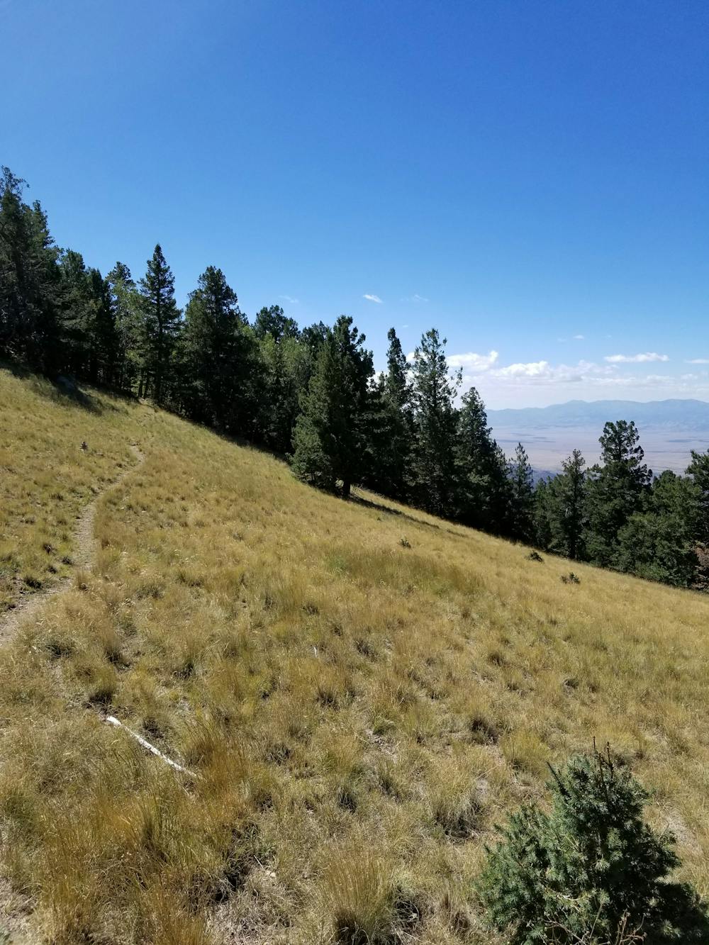
Climbing out of the base of the canyon, #11 becomes more and more exposed as you ascend, eventually crossing over a small saddle. From here, the trail mostly follows a narrow bench, offering remote, astonishing views of the surrounding terrain.
While the climb is relatively steady with minimal challenges, this climb will test even the strongest of riders as it ascends up to 10,000'.
Upon reaching the road, turn right and continue the final climb up to the Magdalena Ridge Observatory. During the warmest months, this area offers a couple of remote parking areas that also double as campsites.
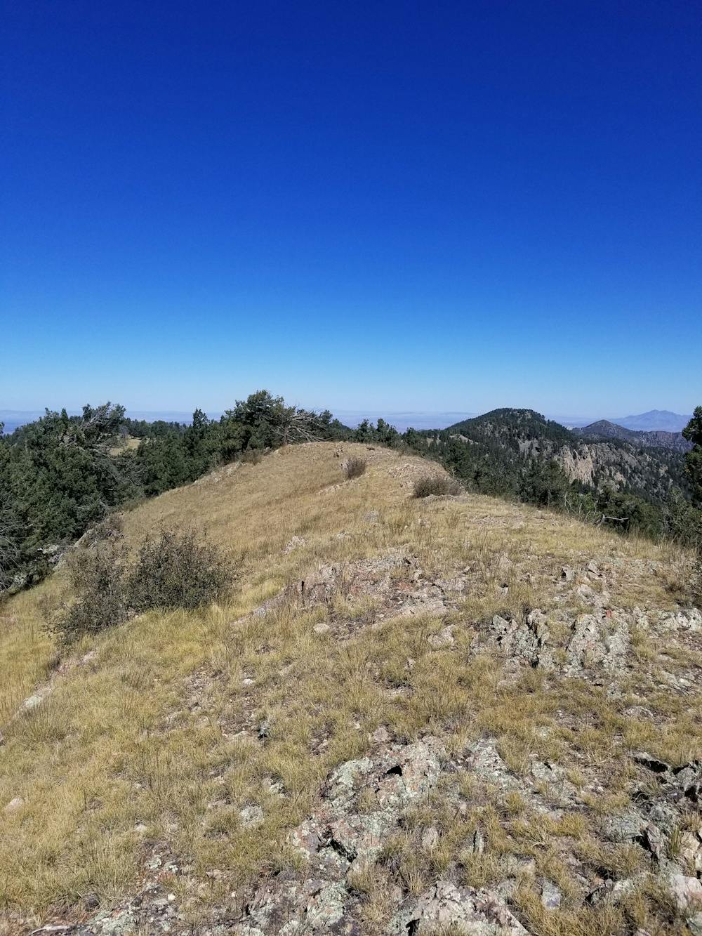
After taking in the view above the treeline, the trailhead for North Baldy Trail (#8) heads northwest, in what will be a short hike-a-bike for most. This portion of the mountain is extremely remote with minimal trail markings.
After a small portion of the trail through the timber, the trail enters a small clearing where it intersects Copper Canyon Trail #10. This turn is easy to miss as the trail sign is frequently in disrepair. From here, the epic ride down begins.
The descent is split into three unique sections:
-The upper section is defined by steep, rocky, switchbacks where protective gear would be necessary in case of a fall. To some, a few portions may need to be hiked.
-The middle section is a long, loose, and rocky bench cut with less technical features, allowing you to gain your momentum.
-The lower section, denoted by an old mining cabin, turns fast and flowy as it nears the campground.
Sources: https://en.wikipedia.org/wiki/MagdalenaMountains https://www.fs.usda.gov/recarea/cibola/recarea/?recid=64076
Difficult
Mostly stable trail tread with some variability featuring larger and more unavoidable obstacles that may include, but not be limited to: bigger stones, roots, steps, and narrow curves. Compared to lower intermediate, technical difficulty is more advanced and grades of slopes are steeper. Ideal for upper intermediate riders.

The trail contains some obstacles such as outcroppings and rock which could cause injury.

Little chance of being seen or helped in case of an accident.
22 routes · Mountain Biking · Hiking · Trail Running