6.2 km away
La Tierra: Hustle and Flow Loop
A fun flow line through the rolling ridges outside of Santa Fe.
Moderate Mountain Biking
- Distance
- 7.9 km
- Ascent
- 155 m
- Descent
- 155 m
The long outer loop through Santa Fe's marquee trail system.
Mountain Biking Difficult

The Dale Ball Trail System is accessible from numerous trailheads along the eastern side of Santa Fe. Despite being so close to town, this respectably-sized trail system does a superb job of spreading out the trail traffic. This excellent traffic management is due in part to the numerous cross trails and intersections that allow trail users to form loops of various sizes and varieties instead of all following the exact same route.
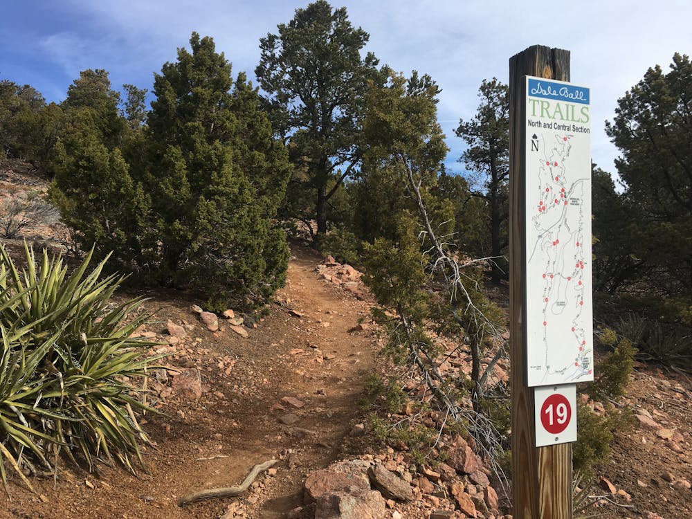

That said, there are a couple of recommended routes through the trail system. The route mapped here, roughly following the perimeter of the Dale Ball Trails, is one of the longest and most popular rides.
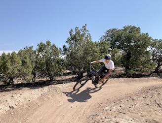
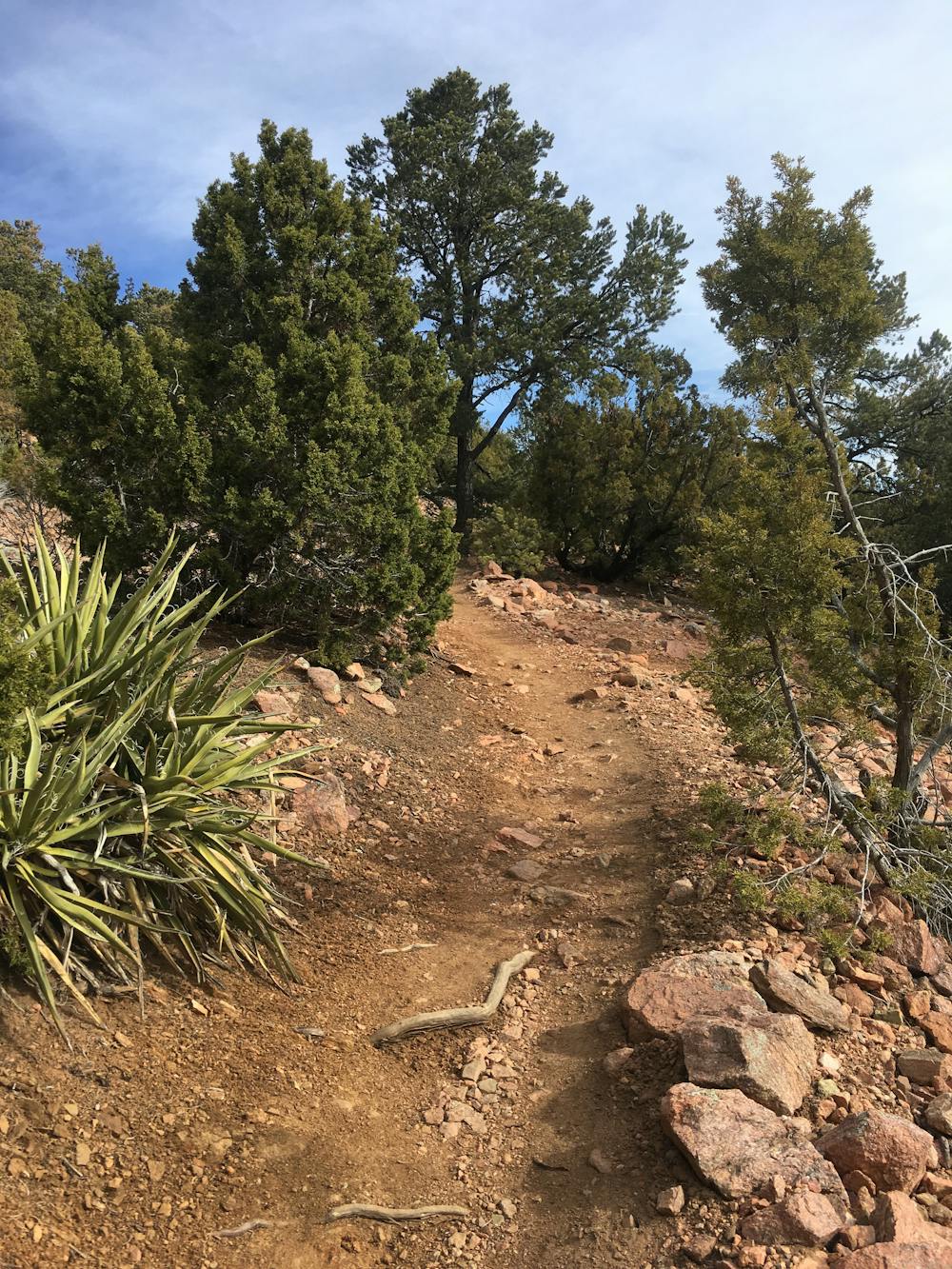
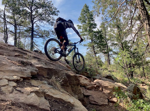
The Dale Ball Trails "contain a mix of smooth, silky lines and chunky, rocky ledges," according to Broken Spoke Santa Fe. This assessment is a great way to sum up the trails here. The singletrack has a tendency to change from flowy, buff track with low berms in the corners to rocky, ledgy, chunky tech in a moment's notice… and then back again. Consequently, it's hard to point out a great beginner loop and a great advanced loop in this network. Instead, you just need to be ready for everything at all times!
While you won't find any extended climbs in this trail system, the climbs tend to punch straight up the short, steep hills. The cursory switchback or two does little to alleviate the lung-busting grades, especially if you're trying to power through this network at a good clip. The constant up-down-up-down will cause your heart rate to spike and remain at max. While you're never that high above Santa Fe's 7,000-foot elevation, this trail system can and will punish you!
But those who are willing to brave chunky rocks and steep climbs will find a delightful network of singletrack that just never seems to end!
Difficult
Mostly stable trail tread with some variability featuring larger and more unavoidable obstacles that may include, but not be limited to: bigger stones, roots, steps, and narrow curves. Compared to lower intermediate, technical difficulty is more advanced and grades of slopes are steeper. Ideal for upper intermediate riders.

The trail contains some obstacles such as outcroppings and rock which could cause injury.

Close to help in case of emergency.
6.2 km away
A fun flow line through the rolling ridges outside of Santa Fe.
Moderate Mountain Biking

37 routes · Mountain Biking

22 routes · Mountain Biking · Hiking · Trail Running
7 routes · Mountain Biking