3.9 km away
Galisteo Basin Preserve Trails: Intermediate Route
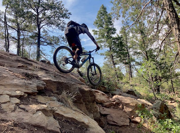
Fantastic ridge line riding amid dramatic skies, stunning topography, and unique geology.
Moderate Mountain Biking
- Distance
- 17 km
- Ascent
- 329 m
- Descent
- 329 m
Fantastic beginner riding amid dramatic skies, stunning topography, and unique geology.
Mountain Biking Easy

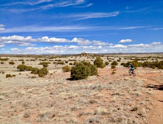
Located in a breathtakingly beautiful area of north-central New Mexico, the Galisteo Basin Preserve is framed by the Ortiz Mountains to the southwest, the Cerrillos Hills to the west, the Sangre de Cristo Mountains to the northeast, and the Jemez Mountains to the northwest. The approximately 9,500-acre area is a vast, protected open space, intertwined with miles of beautiful public trails that meander through excellent high desert terrain.
The Galisteo Basin Preserve’s dramatic skies, topography, geology, and plant and animal life make this land a sacred place to visit. Here you can enjoy northern New Mexico's world-famous climate, as well as the Galisteo Basin's classic western landscape. The area is celebrated for its mild, semi-arid, high-desert conditions—temperate winters, comfortable summers, and brilliant blue skies in all seasons.
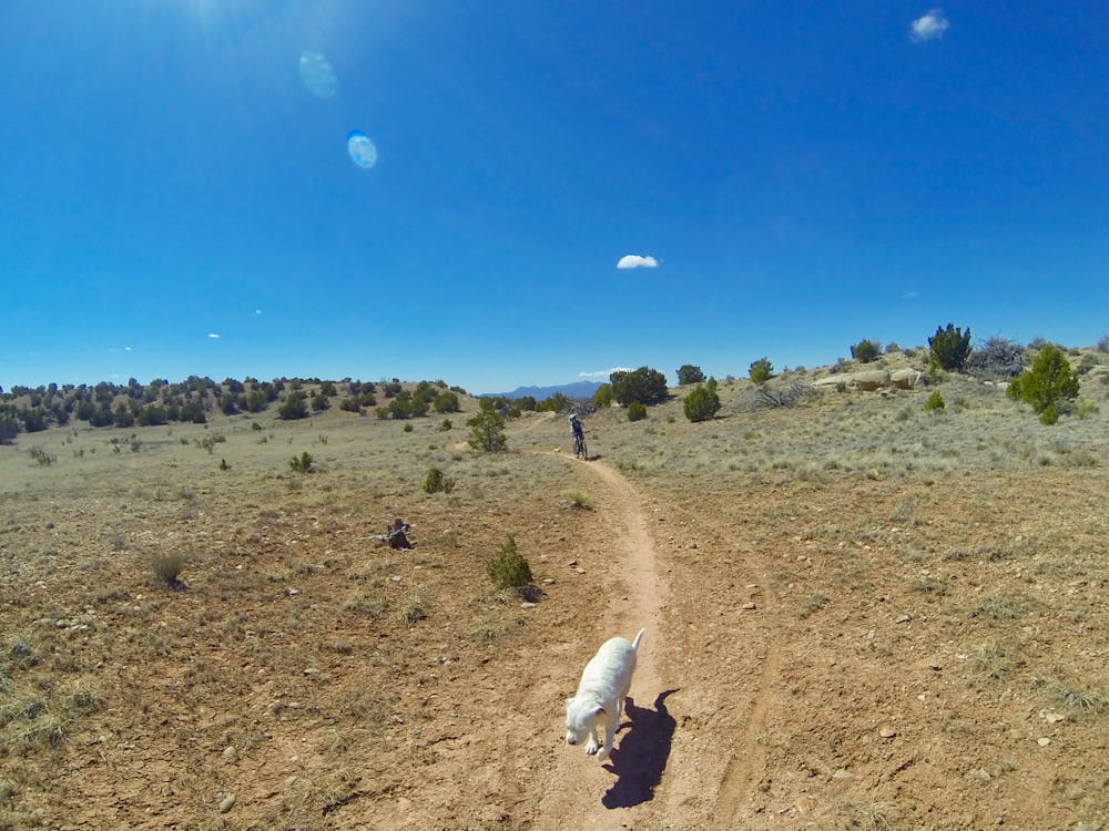
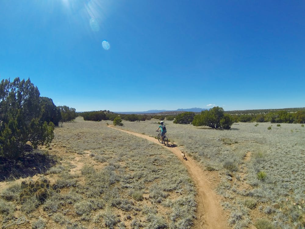
The trails are characterized by gently rolling terrain, piñon/juniper forest, short-grass prairie, and meandering stream corridors. These trails are celebrated by residents and visitors as a place of refuge and inspiration. The broad extent and diversity of the trails invite day-long excursions and short-form wandering. It’s a place for people and wildlife.
There are 28 miles of trails along the ridgelines and through the grasslands and arroyos of the eastern geography.
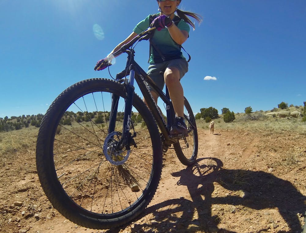
This route describes some of the easiest of the trails linked together for a great beginner loop ride. The trail terrain is mostly smooth, with a small amount of unevenness and undulation. Beginners will enjoy this area as the trails are not too technical or difficult, and skills can be practiced and honed.
Because of its lower elevation, the Preserve provides great riding year-round with the only exceptions being on particularly hot summer days or immediately after a heavy rain or snow.
Please remember the trails are part of a fragile landscape: stay on marked trails and roads, park only in designated areas, and carry out everything you carry in.
Easy
Mostly smooth and non-technical singletrack with unavoidable obstacles 2in/5cm tall or less. Avoidable obstacles may be present. Ideal for beginner riders.

The path is on completely flat land and potential injury is limited to falling over.

Away from help but easily accessed.
3.9 km away
Fantastic ridge line riding amid dramatic skies, stunning topography, and unique geology.
Moderate Mountain Biking

37 routes · Mountain Biking
7 routes · Mountain Biking