1.6 km away
Otero Canyon: Long Loop
A medium/long loop version on the classic Otero Canyon Trail.
Severe Mountain Biking
- Distance
- 14 km
- Ascent
- 339 m
- Descent
- 340 m
A quick hit loop utilizing the classic Otero Canyon Trail.
Mountain Biking Difficult

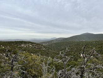
The Otero Canyon Trail has been renowned as a classic mountain bike trail for decades. Located in the Cibola National Forest just east of Albuquerque, the trail network in this region is often referred to simply as "Otero Canyon," taking its name from the most famous trail in the system.
Unfortunately, Otero Canyon used to be even longer and rowdier, but the upper section of the trail was closed and bulldozed in 2020. Despite this tragic loss, the remaining singletrack here is still an absolute gem that is well-worth experiencing!
The route shown here is the shortest loop option incorporating Otero Canyon. Beginning from the Otero Canyon trailhead, you'll climb the Tunnel Canyon Trail to West Ridge, the reach the top of the nearby ridge.
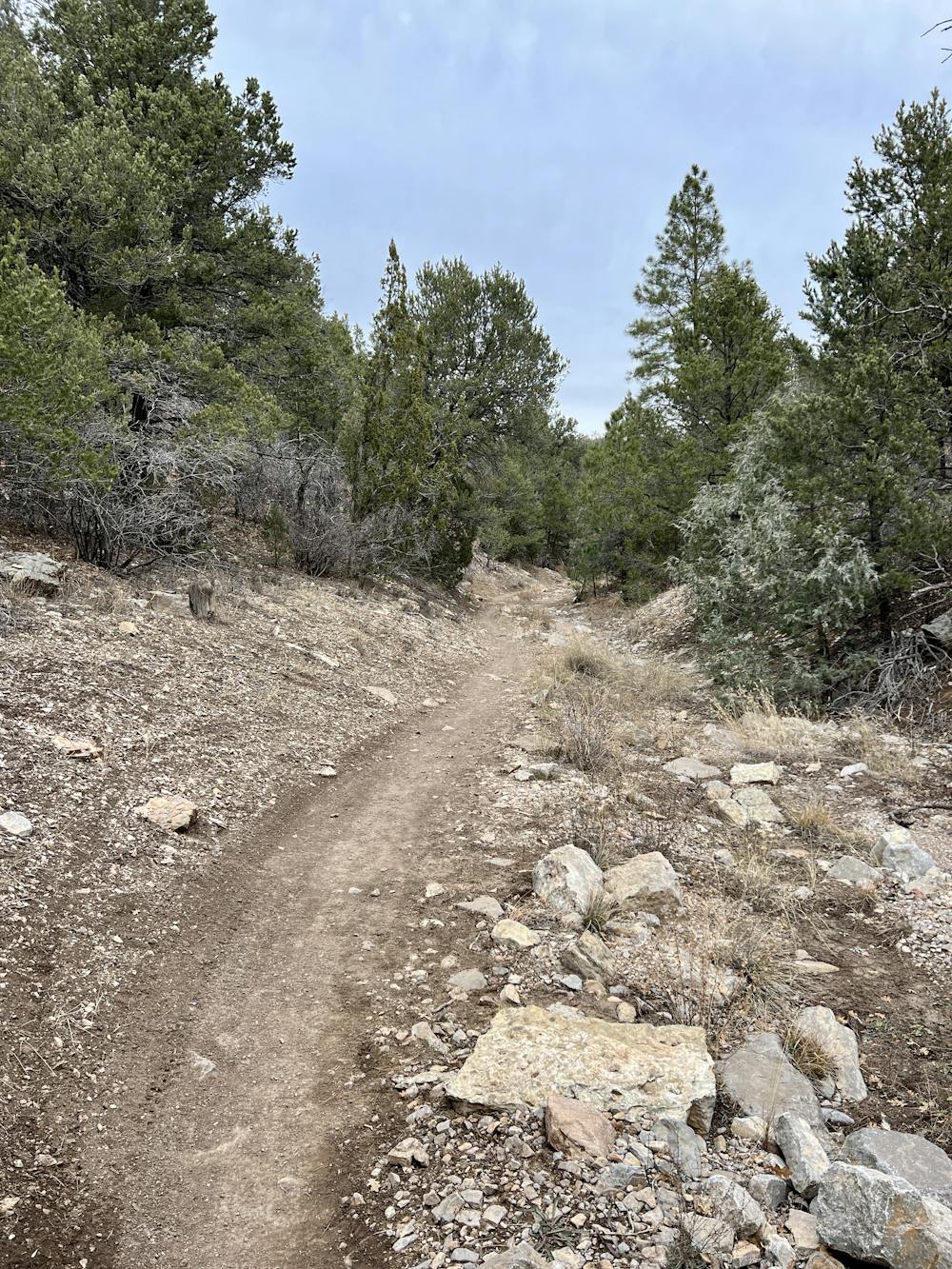
When it comes time to descend off of West Ridge, you'll get to rip down a long, technical, rock-strewn descent through a series of sharp switchbacks. Despite the switchbacks, this descent is still entertaining and well worth the effort to reach it!
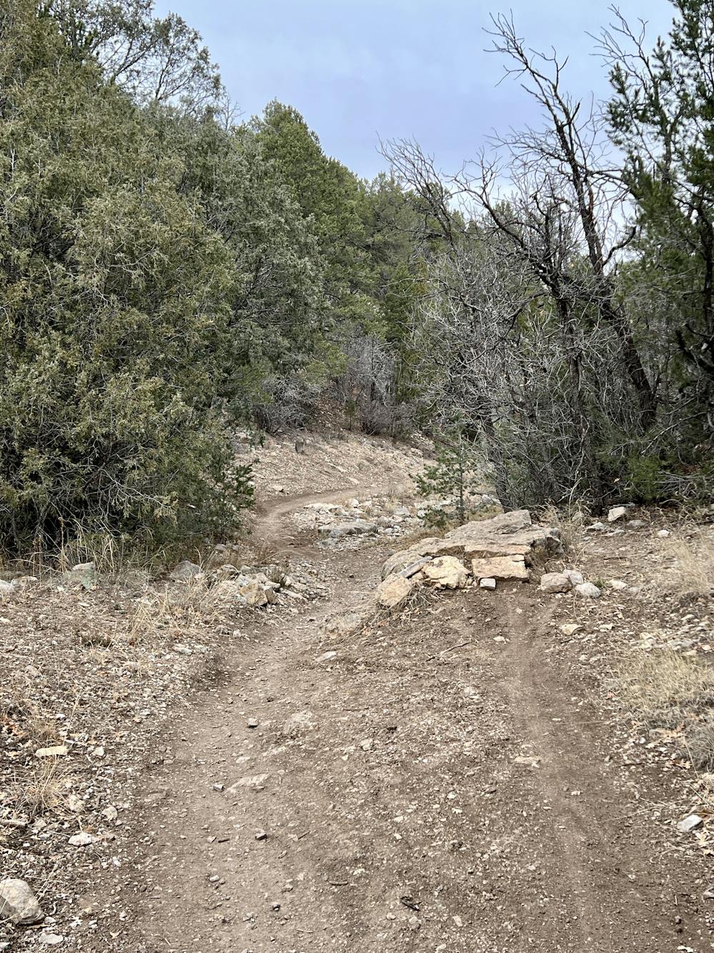
Then, you'll take a left on Otero Canyon proper and really get to open it up! The sight lines on Otero are long and the singletrack is flowy, with plenty of optional side hits like kickers, jumps, and drops. The high-speed flow, air opportunities, and entertaining rock features are an absolute dream!
The descent is over all too quickly, and then it's back to the car.
The technical difficulty of this ride toes the line between a FATMAP "Difficult" rating and a "Severe" rating. The descent down West Ridge is the most technical part of the ride, whereas Otero itself isn't nearly as technical. Regardless of how you rate this trail, if you don't mind a few rocks, you're guaranteed to have a great time!
Difficult
Mostly stable trail tread with some variability featuring larger and more unavoidable obstacles that may include, but not be limited to: bigger stones, roots, steps, and narrow curves. Compared to lower intermediate, technical difficulty is more advanced and grades of slopes are steeper. Ideal for upper intermediate riders.

The trail contains some obstacles such as outcroppings and rock which could cause injury.
Away from help but easily accessed.
1.6 km away
A medium/long loop version on the classic Otero Canyon Trail.
Severe Mountain Biking