Placitas North: Beginner Loop
A smooth beginner ride in the little-ridden Placitas North trail system.
Easy Mountain Biking
- Distance
- 6.2 km
- Ascent
- 96 m
- Descent
- 96 m
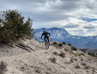
A logical loop hitting the best trails in the little-ridden Placitas North trail system.
Mountain Biking Easy

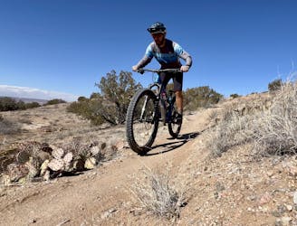
When people refer to the "Placitas" trails, they're almost always talking about the trail system located directly off Highway 165, which has a perpetually crowded parking lot. But for a much more remote and isolated ride, you can also drive north through the sprawling mansions and reach another Placitas trail system on BLM land. For the sake of clarity, I'm referring to this northern network as "Placitas North," as it doesn't have a better name than that.
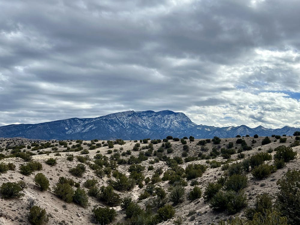
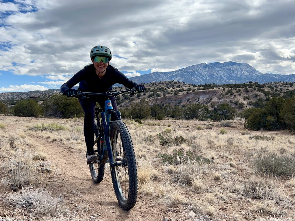
The Placitas North trails receive a fraction of the traffic of the southern trails, and the majority of the traffic they do receive appears to be foot traffic. Sure, there are some riders out here, and even some horses—but in places, the trails are quite faint, and the signage is poor or nonexistent. But if you want to escape the crowds, this is the place.
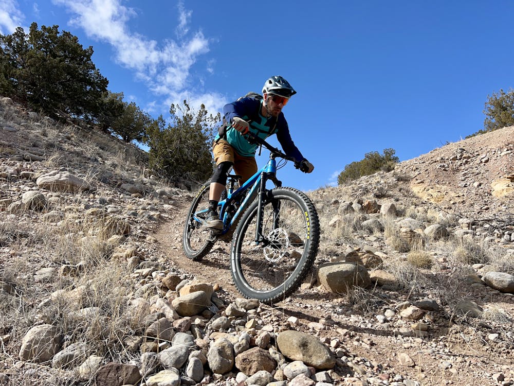
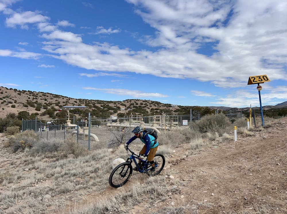
The route shown here doesn't hit every single trail in the network, but it does a fair job of connecting some of the best singletrack trails together into a logical loop with no backtracking. After rolling back downhill on the other side of the fence, the climbing begins via a short but fairly steep hoof—but surprisingly, this might be the most difficult climb of the ride.
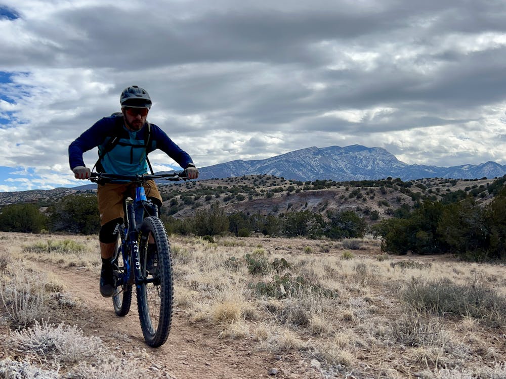
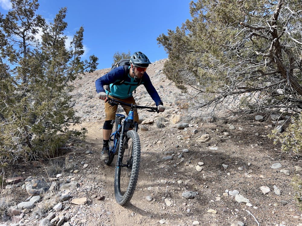
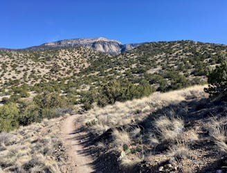
Mellow singletrack flows along the backside of the ridge before a short but steep drop plummets down into Las Huertas Creek drainage. This short descent might be worthy of a "Moderate" difficulty rating due to a short, somewhat steep descent and a couple of rocks, but the rest of this loop is almost entirely buff and smooth, meaning that it can't really be rated more difficult than "Easy" overall.
After the short, steep descent, the route crosses the arroyo via a rocky, sandy crossing, before picking up a singletrack on the other side to follow the valley uphill. The route then crosses back over and climbs up out of the drainage via some reasonable switchbacks before looping around some more ridgelines on smooth, flowy singletrack.
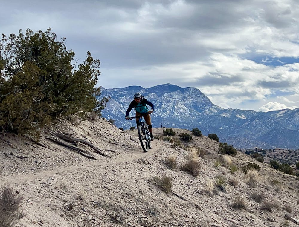
As you reach the top of another ridge, you're faced with a choice: if you're tired, you can head straight back to the trailhead. But if not, it's recommended to add on the loop up and down the Alta Vista trail, as shown here. Alta Vista is a fast, flowy gem and also provides a few of the most scenic ridgetop corners in the entire trail system! The ride finishes off with a short, quick descent off the ridge and then a mellow roll out along the pipeline.
Even on a weekend, you might only see one or two people out on these trails, and if you go at an off-peak time, you'll likely have the place all to yourself.
Blessed solitude!
Easy
Mostly smooth and non-technical singletrack with unavoidable obstacles 2in/5cm tall or less. Avoidable obstacles may be present. Ideal for beginner riders.

The trail contains some obstacles such as outcroppings and rock which could cause injury.
Away from help but easily accessed.
A smooth beginner ride in the little-ridden Placitas North trail system.
Easy Mountain Biking
3.6 km away
The perfect beginner ride in the Placitas trail system.
Easy Mountain Biking
3.6 km away
Flowy desert riding on non-technical trails—a great place for beginners, or those looking to advance their skills slightly.
Moderate Mountain Biking

22 routes · Mountain Biking · Hiking · Trail Running