6.2 km away
Dale Ball Loop
The long outer loop through Santa Fe's marquee trail system.
Moderate Trail Running
- Distance
- 16 km
- Ascent
- 454 m
- Descent
- 454 m
Santa Fe's go-to winter trail system.
Trail Running Moderate

La Tierra is one of Santa Fe's go-to trail systems, especially in the winter. Depending on the temps and how the snowstorms roll in, La Tierra usually stays runnable 12 months per year. On the flip side, it gets blistering hot in the summertime, but the locals will still frequent the trails due to the convenient access from town.
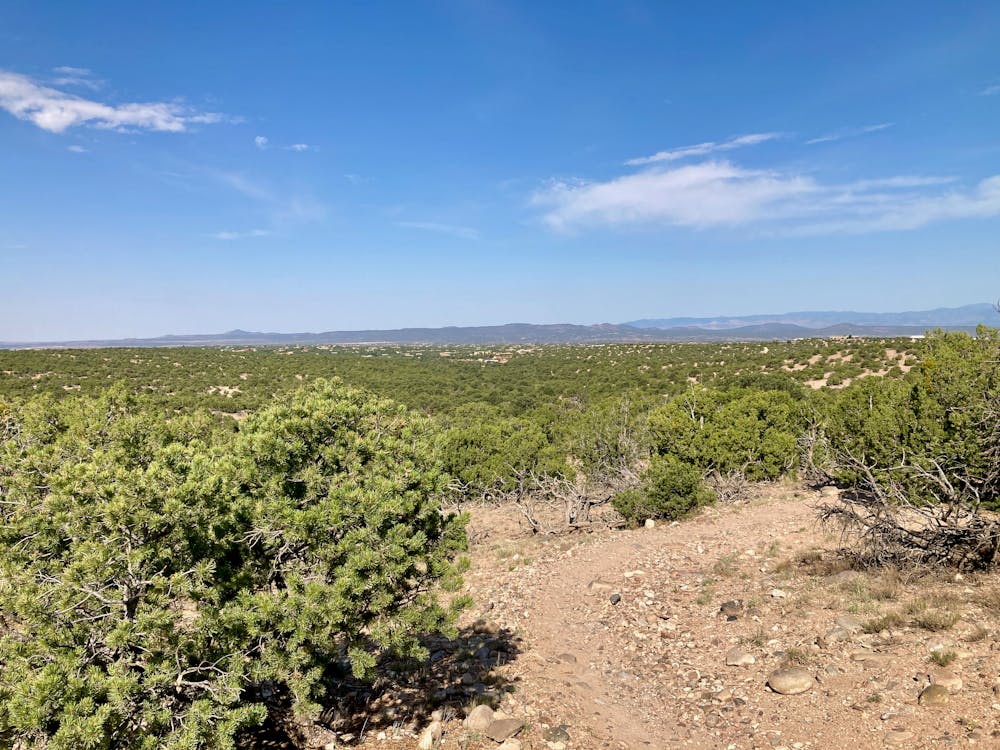
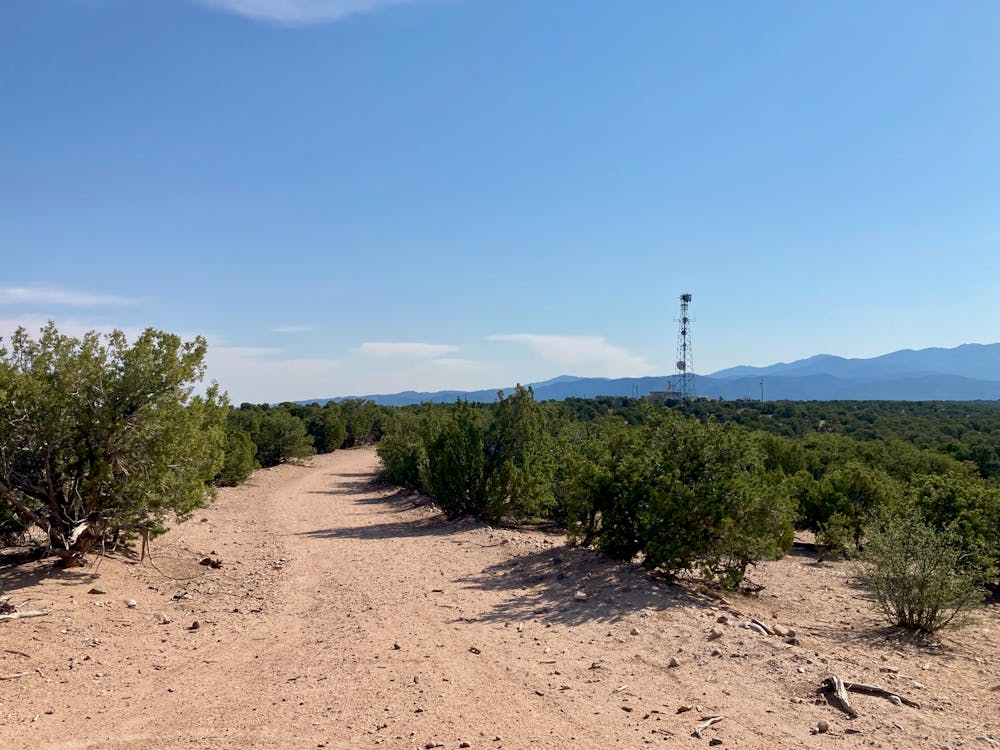
This complex trail system is a downright spaghetti bowl of singletrack that can be very difficult to navigate, even if you're following a mapped route through the network. Most of the trails here are old-school social trails that have been adopted into the system. The narrow singletrack bobs and weaves through the low juniper trees. Some of the trails can feel awkward as they rocket up short, steep climbs and rattle down rocky descents on the other side.
The loop mapped here covers the majority of La Tierra, looping through the many interconnecting trails without making too many awkward turns or requiring too much checking of the phone. If you do get turned around, just whip out FATMAP and get back on track.
It's very easy to cut this loop to make it shorter. One good option for a shorter loop is to head back toward the trailhead when you reach the bottom of the Hustle & Flow mountain bike trail, following the final stretches of this route.
Moderate

The path is on completely flat land and potential injury is limited to falling over.

Away from help but easily accessed.
6.2 km away
The long outer loop through Santa Fe's marquee trail system.
Moderate Trail Running
6.8 km away
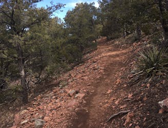
Summit run starting close to town with incredible views!
Moderate Trail Running
22 routes · Mountain Biking · Hiking · Trail Running
5 routes · Trail Running