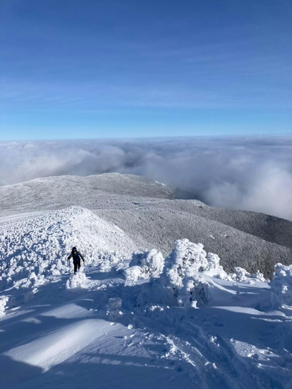
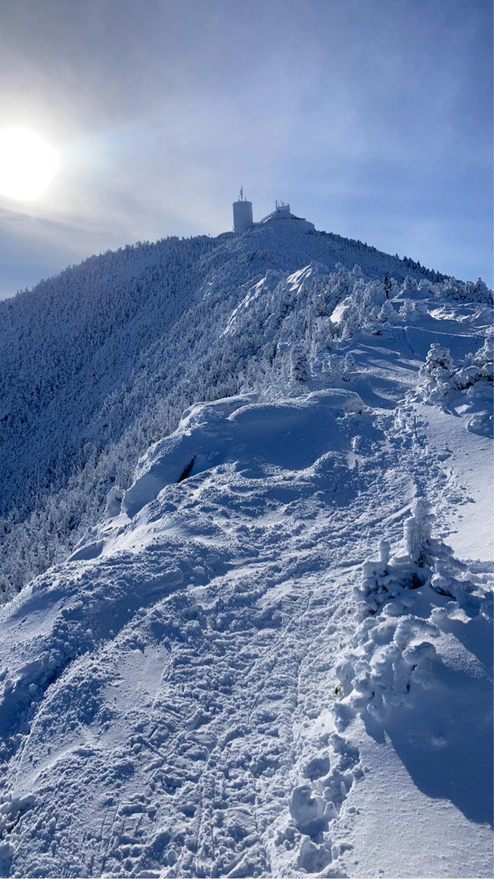
Whiteface Northeast Ridge
Whiteface Mountain Resort
A nice run on an easy (but exposed) ridge with scenic views.
Freeride Skiing Difficult
- Distance
- 557 m
- Ascent
- 0 m
- Descent
- 126 m
- Low Point
- 1.3 km
- High Point
- 1.5 km
- Gradient
- 19˚

This is a popular freeride skiing route which is generally considered to be difficult. It's remote, it features high exposure (e3) and is typically done between December and March. From a low point of 1.3 km to the maximum altitude of 1.5 km, the route covers 557 m, 0 vertical metres of ascent and 126 vertical metres of descent. It's graded 2.3 and Labande grade 3. You'll need skins and crampons to complete it safely.
- •
- •
Description
This route follows the Wilmington Trail from the summit of Whiteface Mountain to the junction of the trail and the toll road (at the Wilmington turnoff).
Difficulty
Difficult
Serious gradient of 30-38 degrees where a real risk of slipping exists.
High Exposure (E3)

In case of a fall, death is highly likely.
Remoteness

Away from help but easily accessed.
Best time to visit
Features
- Trees
- Cliffs
- Walk Required
Equipment required
- Skins
- Crampons