8.8 km away
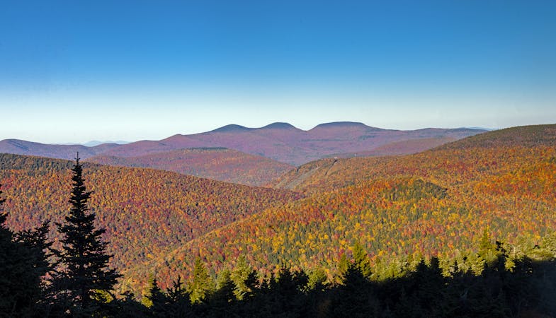
Overlook Mountain and Echo Lake
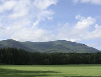
A phenemonal day hike or overnight trip to a historic fire tower and serene lake.
Difficult Hiking
- Distance
- 14 km
- Ascent
- 709 m
- Descent
- 709 m
A beautiful rail trail along the shores of the Ashokan reservoirs.
Hiking Easy

The Ashokan Rail Trail runs along the shores of Lower Ashokan and Upper Ashokan reservoirs, providing an incredibly scenic natural escape in the Catskills. Taken together, the Ashokan Reservoir "is one of the largest reservoirs in the NYC water supply system," according to GothamBikeTours.com.
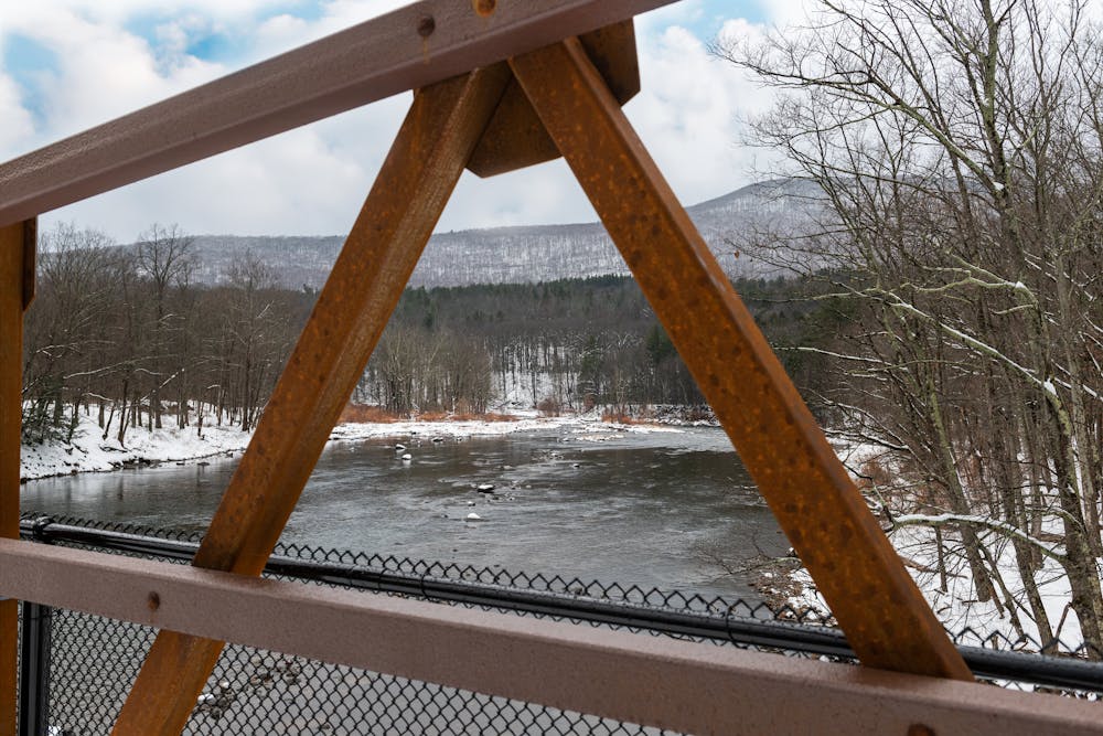
This wide rail trail runs for just over 11 miles one-way along a finely crushed stone surface. It measures 12 feet wide in most places, providing plenty of space for all of the trail users that flock here.
Even though this route has been uploaded for hiking, the Ashokan Rail Trail is open for many types of non-motorized uses, "including hiking, walking dogs on leash, bicycling, running, nature observation, cross-country skiing, and snowshoeing," according to AshokanRailTrail.com. "The ART trailheads are plowed in winter, but the trail itself is not," they continue.
Sources: https://ashokanrailtrail.com/ https://gothambiketours.com/riding-the-ashokan-rail-trail/
Easy
Walking along a well-kept trail that’s mostly flat. No obstacles are present.

The path is on completely flat land and potential injury is limited to falling over.
Close to help in case of emergency.
8.8 km away
A phenemonal day hike or overnight trip to a historic fire tower and serene lake.
Difficult Hiking
7 routes · Hiking