0 m away
Central Park Outer Loop

A 6-mile loop around New York City's iconic Central Park.
Easy Hiking
- Distance
- 9.8 km
- Ascent
- 103 m
- Descent
- 103 m

A 4-mile loop through Central Park, with plenty of opportunities to explore.
Hiking Easy

With nearly 40 million visitors a year, Central Park is one of the busiest tourist attractions in the world. Its geographic prominence makes it one of the most iconic and internationally recognized landmarks in New York City.


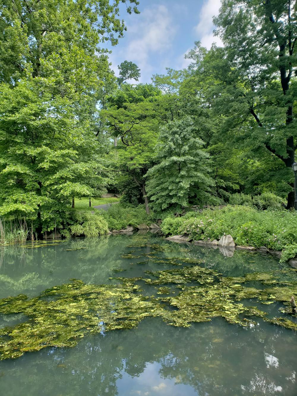
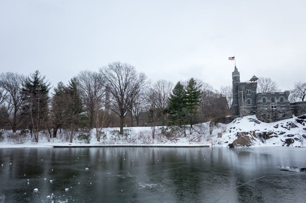
The idea for the park was conceived in the mid-1800s during a time of massive population growth in NYC. The boulder-ridden swamp it used to be has now been groomed into a beautiful, iconic landmark and the centerpiece of the city. Though the years, the park has seen drastic changes and improvements and now serves as the most popular destination in NYC for a hike, run, bike ride—or whatever you're into.
Accessing the park by car can be a daunting task, but there are countless options for you. Parking garages, metered parking, and other options exist, though public transportation is another popular option to get there. For a comprehensive list of options, visit the park's website: https://www.centralpark.com/visitor-info/parking/
This 4-mile route around the park follows the outermost paved loop and is accessible at countless points. In many cases, an adjacent trail or mixed surface pathway parallels the road. Do not be afraid to venture off the path and explore the beautiful architecture, picturesque ponds, and wonderful scenery that Central Park has to offer. At times, it's often easy to forget that you're tucked into the middle of Manhattan.
Take the opportunity to visit Vista Rock, The Great Lawn, or the Butterfly Gardens along this path. The large reservoir is the centerpiece of the loop and allows for phenomenal views and an perfect backdrop for a picnic.
Sources: https://en.wikipedia.org/wiki/CentralPark#History https://www.centralpark.com/news/central-park-third-visited-tourist-attraction-world/
Easy
Walking along a well-kept trail that’s mostly flat. No obstacles are present.
0 m away

A 6-mile loop around New York City's iconic Central Park.
Easy Hiking
671 m away

A short afternoon hike around Central Park's Reservoir.
Easy Hiking

8 routes · Hiking