6.7 km away
Blue Mountain Reservation Summit Loop
A relaxing hike connecting moss-covered ponds to two defined summits.
Moderate Hiking
- Distance
- 8.8 km
- Ascent
- 292 m
- Descent
- 292 m
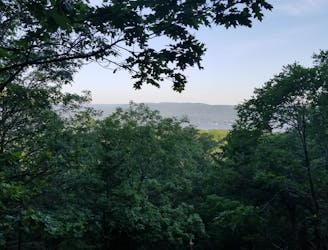
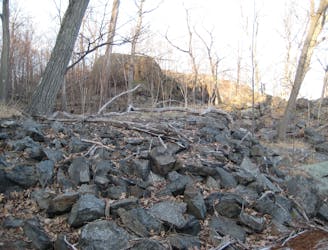
Short and sweet hike to a neat overlook above an old quarry
Hiking Easy

This is a popular hiking route which is generally considered to be easy. It's not remote, it features low exposure and is typically done between April and November. From a low point of 95 m to the maximum altitude of 186 m, the route covers 6.2 km, 166 vertical metres of ascent and 165 vertical metres of descent.
Set off from the car park and follow mainly white, and then green, followed by blue. The quarry is the highest point in the walk and makes for a good water break, and the old oak is well worth passing by on the return journey.
Easy
Walking along a well-kept trail that’s mostly flat. No obstacles are present.

The path is on completely flat land and potential injury is limited to falling over.
Close to help in case of emergency.
6.7 km away
A relaxing hike connecting moss-covered ponds to two defined summits.
Moderate Hiking
9.5 km away
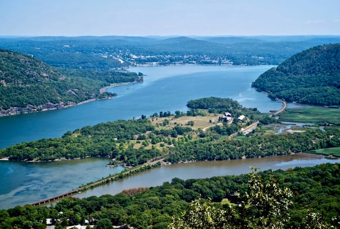
A historic loop connecting some of Bear Mountain's finest views.
Difficult Hiking
8 routes · Hiking