Sam's Point and Vanderkill Falls
Casual hike with stunning scenery and great look out points
Hiking Easy
- Distance
- 9.8 km
- Ascent
- 251 m
- Descent
- 251 m
- Duration
- 2-3 hrs
- Low Point
- 526 m
- High Point
- 690 m
- Gradient
- 7˚

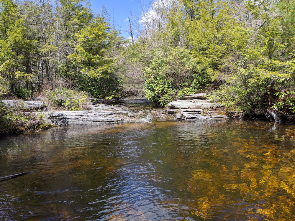
Start at the Sam's Point Area parking lot at the entrance to Minnewaska State Park. The first part of the trail is along a gravel road, passing between steep cliffs rising up above you to the left and tall pines on your right.
- •
- •
- •
- •
- •
- •
- •
Description
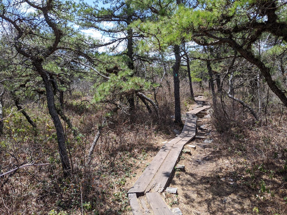
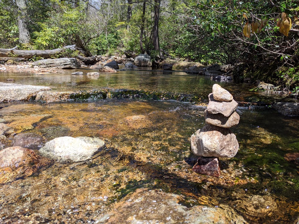
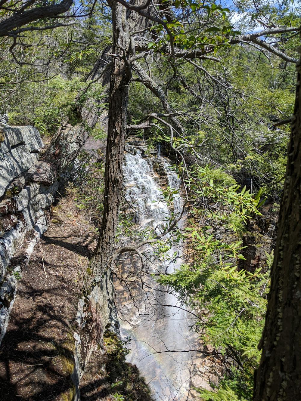
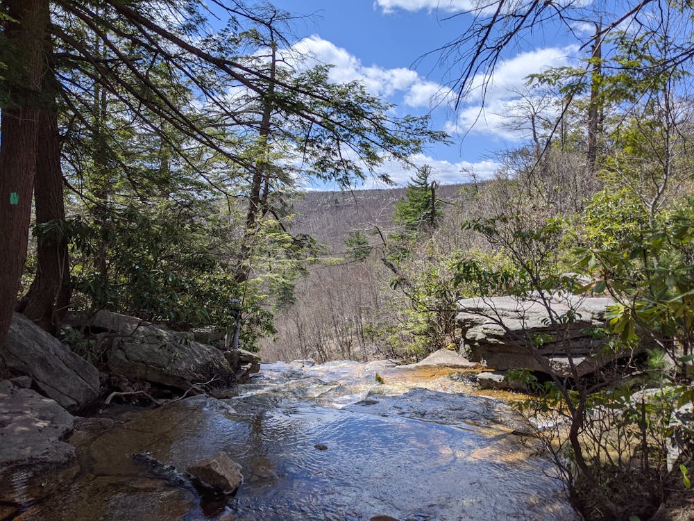
Following the wooden signs, you turn off this gravel path after about 20 minutes, and start walking along a much narrower track that will take you through changing scenery and trees, along wooden boards and hopping across stepping stones, all the way to the top of Vanderkill falls.
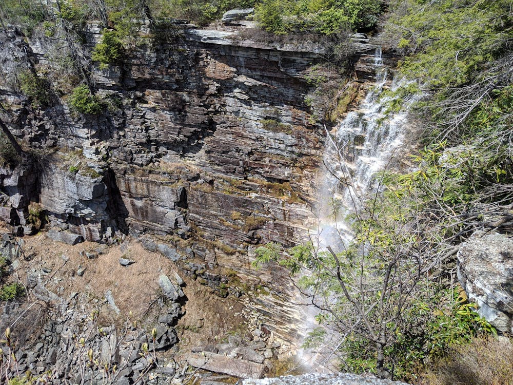
The falls themselves are spectacular - and a good point to pause for a picnic, if you can handle the vertigo. The sun was out the day we went and there was a bright rainbow below us where the falls broke on the rocks.
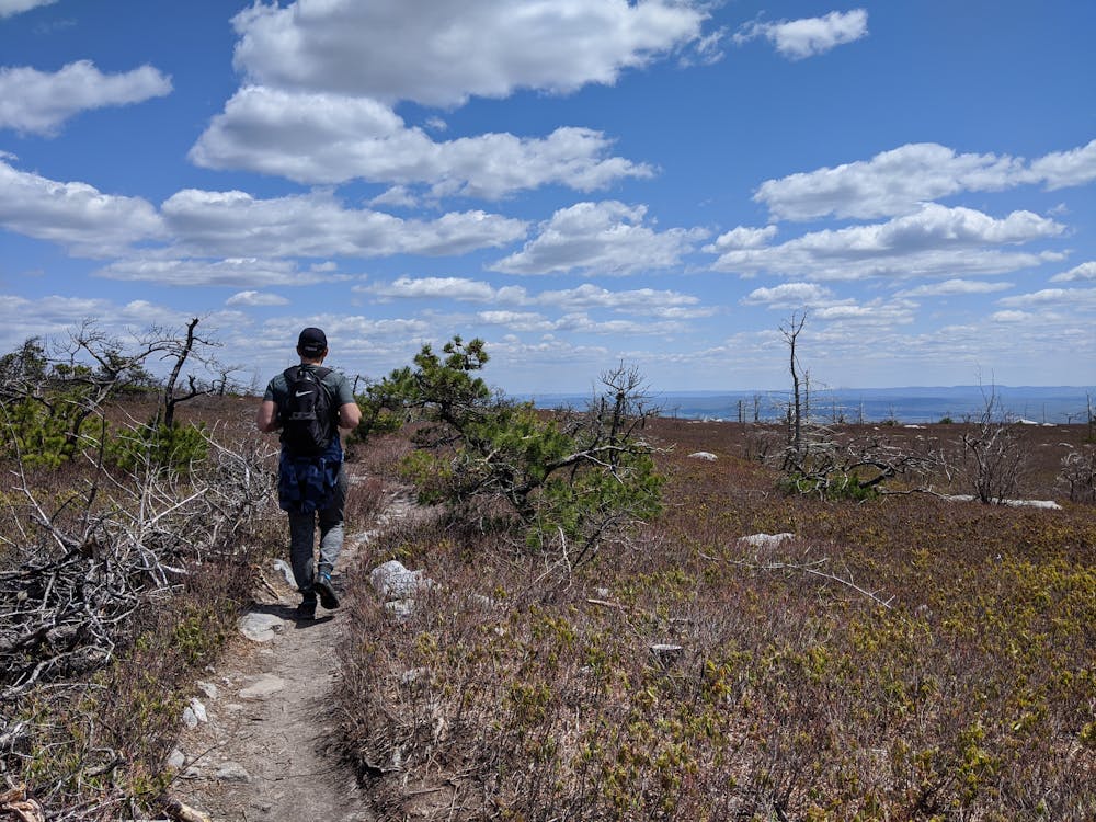
For the return journey we followed the same route, with a minor detour out to check out sunset from Sam's Point on the way back.
Difficulty
Easy
Walking along a well-kept trail that’s mostly flat. No obstacles are present.
Medium Exposure

The trail contains some obstacles such as outcroppings and rock which could cause injury.
Remoteness
Away from help but easily accessed.
Best time to visit
Features
- Historical
- Picturesque
- Wild flowers
- Water features
- Family friendly
- Forestry or heavy vegetation