6.8 km away
Sugarloaf Mountain Loop
A challenging day hike connecting three trails and summiting Sugarloaf Mountain.
Severe Hiking
- Distance
- 10 km
- Ascent
- 627 m
- Descent
- 627 m
Get to know this 3.6-mile out-and-back trail near Lanesville, New York.
Hiking Easy

Get to know this 3.6-mile out-and-back trail near Lanesville, New York.
Generally considered a moderately challenging route, it takes an average of 2 h 13 min to complete.
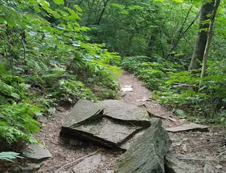
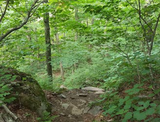
This trail is great for hiking, and it's unlikely you'll encounter many other people while exploring.
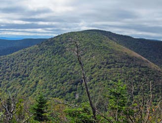
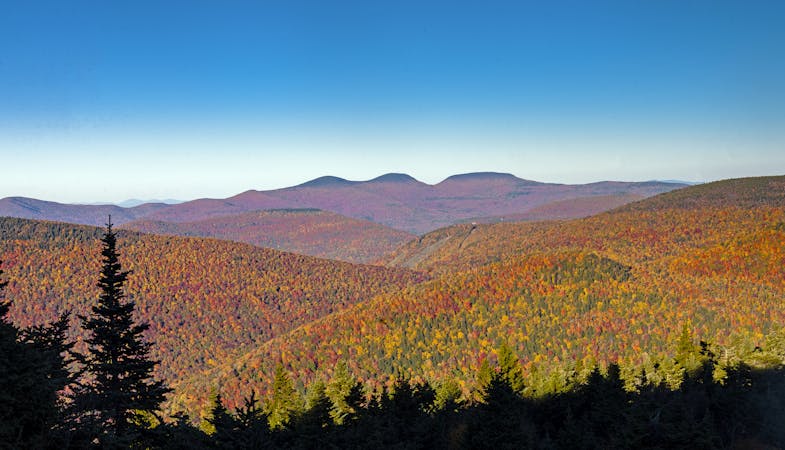
This is a hike to one of the Catskills' 100 highest peaks. The trail starts at a pull-off on DEC property and you hike .4 miles and 400’ of elevation gain to the start of the trail.
The trail markers are yellow. Continue going up an old road until you reach the junction where you turn right and gain another 600’ of elevation to the summit of Silver Hollow Mountain. Another .25 miles and you’ll be at the summit of Edgewood Mountain.
Easy
Walking along a well-kept trail that’s mostly flat. No obstacles are present.
6.8 km away
A challenging day hike connecting three trails and summiting Sugarloaf Mountain.
Severe Hiking
8.8 km away
A rugged thru-hike bagging five of the Catskill High Peaks.
Severe Hiking
8.9 km away
A relentless day hike to the summit of Indian Head Mountain.
Severe Hiking
7 routes · Hiking