6 km away
Wiseman's View
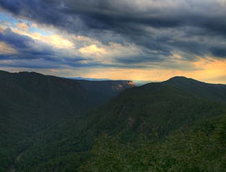
One of the best places in Linville Gorge to enjoy a sunrise or sunset!
Easy Hiking
- Distance
- 556 m
- Ascent
- 14 m
- Descent
- 14 m
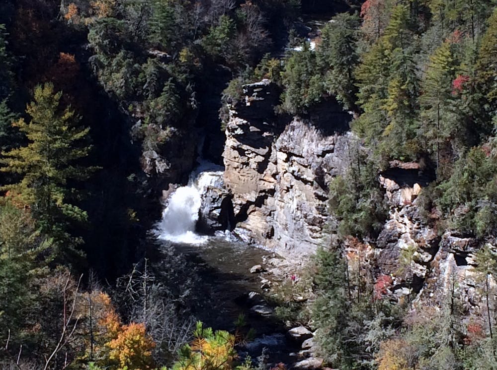
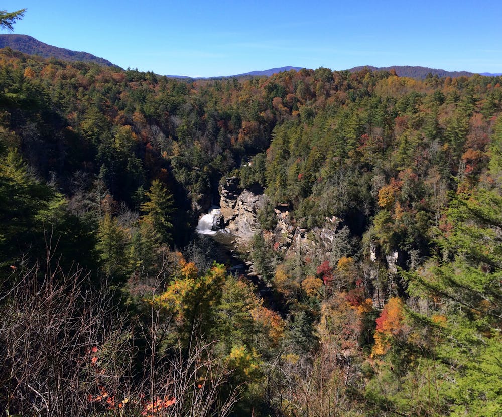
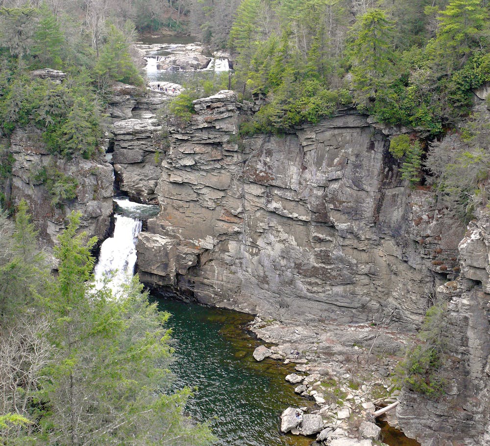
A short hike to multiple overlooks of Linville Falls
Hiking Moderate

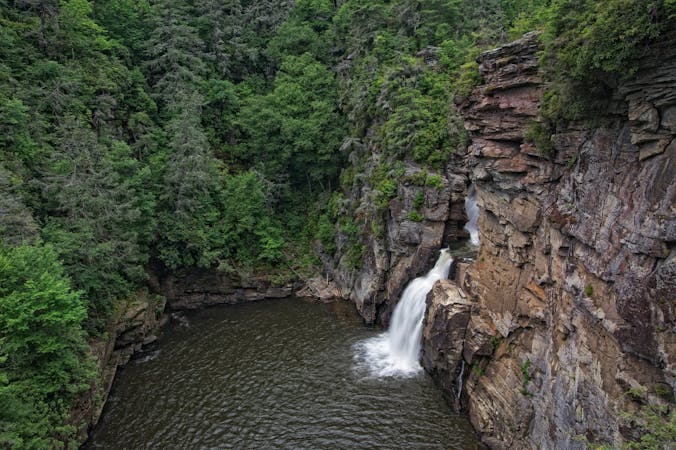
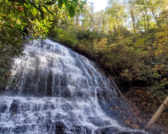
Linville Falls is a must-do hike along the Blue Ridge Parkway, and for good reason. While there is one large waterfall, it is actually a series of several features as the Linville River passes through its namesake gorge. According to Wikipedia, the main falls "has the highest volume of any waterfall on the Northern Edge of the Blue Ridge Mountains." This is an easy family-friendly hike that includes multiple viewpoints to the falls.
The trailhead is located at the end of Linville Falls Road and is accessed via the Blue Ridge Parkway. Look for a sign on the parkway leading to the Linville Falls Campground. Know that in the winter, portions of the scenic byway frequently close due to inclement weather.
The hike starts by crossing the Linville River then meanders to multiple overlooks. Some hikers choose to visit the first and head back, while the more adventurous often explore the others. None of the marked trails venture far from the falls, making it hard to get lost.
On the opposing side of the river, a trail leads down to the base of the falls, but swimming is not allowed. Many have been injured, and some have even lost their lives by exploring too far off the trail. According to Wikipedia, personnel at Linville Falls claim the massive waterfall was used by Native Americans to execute prisoners because surviving the plunge was considered impossible.
Moderate
Hiking along trails with some uneven terrain and small hills. Small rocks and roots may be present.

The trail contains some obstacles such as outcroppings and rock which could cause injury.
Away from help but easily accessed.
6 km away
One of the best places in Linville Gorge to enjoy a sunrise or sunset!
Easy Hiking
6.1 km away
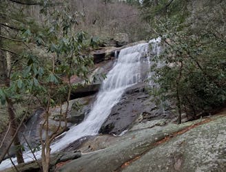
A roadside swimming hole with several stunning cascades and a rope swing!
Difficult Hiking
7.4 km away
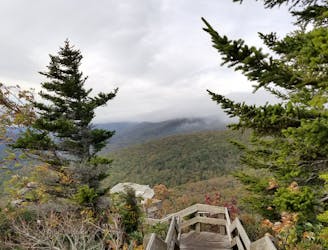
The Mountains to Sea Trail as it passes Grandfather Mountain.
Difficult Hiking
8.5 km away
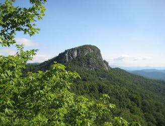
A short and fairly steep hike up to one of the most iconic peaks in Linville Gorge.
Difficult Hiking

7 routes · Hiking

10 routes · Hiking

16 routes · Hiking
4 routes · Hiking
10 routes · Hiking