6 km away
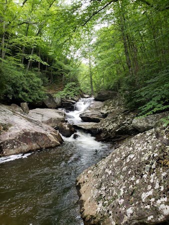
Boone Fork Trail Loop
A beautiful loop including a high country meadow and pristine waterfalls.
Difficult Hiking
- Distance
- 7.8 km
- Ascent
- 184 m
- Descent
- 184 m
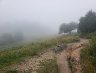
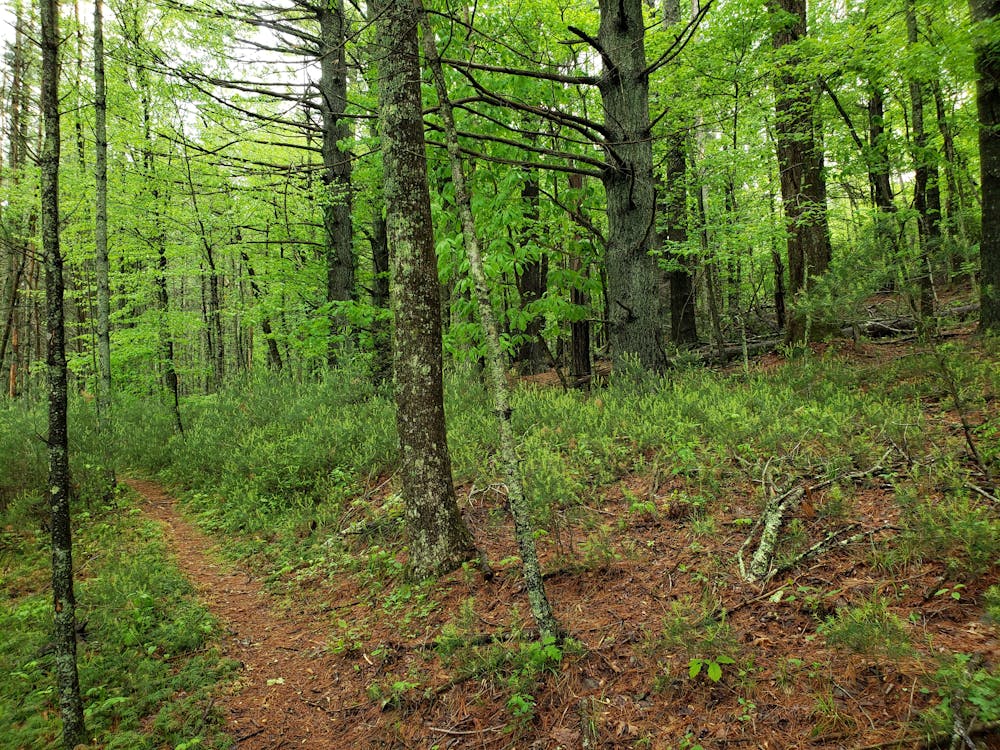
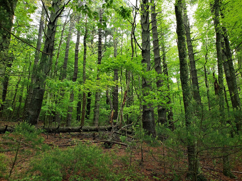
The MST as it passes through North Carolina's high country.
Hiking Moderate

Sometimes referred to as "Section 5," this portion of the Mountains to Sea Trail showcases North Carolina's beautiful high country. Endless views await as you traverse a long winding ridge lined with historic farmlands.
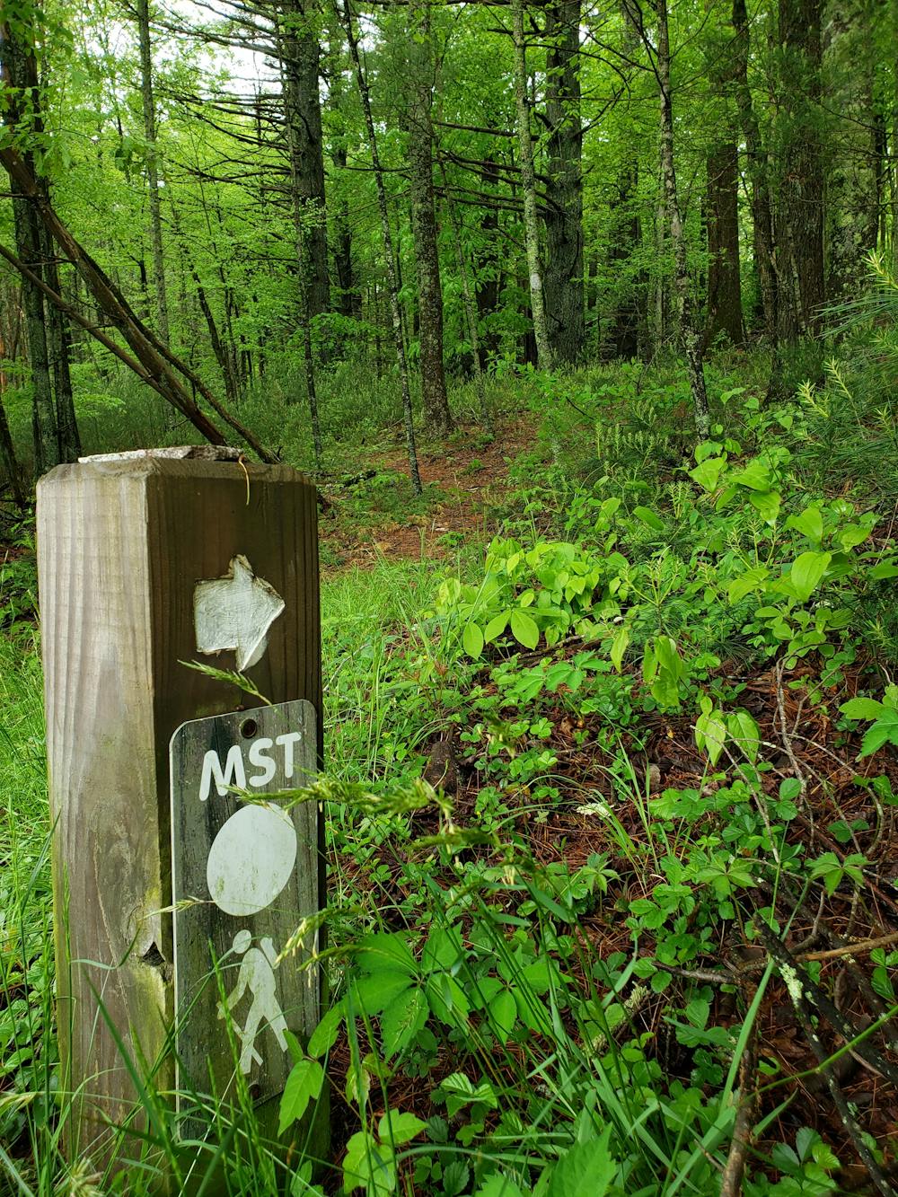
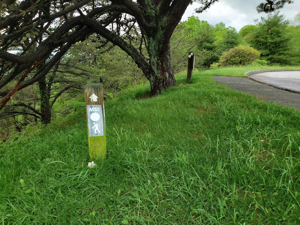
The western terminus lies on the Blue Ridge Parkway as it heads east out of Blowing Rock. The majority of this segment follows the Blue Ridge Parkway corridor, frequently crossing it and occasionally following the shoulder. Portions of the trail may pass through fields or unpaved back roads along the way.
About 1/3rd of the way into the segment, the trail passes through Deep Gap, along US-421. Ample roadside parking is available, and this area is popular among day hikers looking for a relaxing out-and-back trip. Thru-hikers should take the opportunity to head northwest on the road to resupply in town. Water is abundant in the region, but the opportunity to resupply on food is limited.
This segment ends at an overlook at the Blue Ridge Parkway labeled on a map as the Basin Cove Overlook (some maps refer to this as the Devil's Garden Overlook). A large map at the overlook provides detailed information on Doughton Park Trail System, the next step for the 1,200-mile long trail.
Moderate
Hiking along trails with some uneven terrain and small hills. Small rocks and roots may be present.

The trail contains some obstacles such as outcroppings and rock which could cause injury.
Away from help but easily accessed.
6 km away
A beautiful loop including a high country meadow and pristine waterfalls.
Difficult Hiking

7 routes · Hiking

16 routes · Hiking
8 routes · Hiking · Trail Running