5.3 km away
Calloway Peak via Daniel Boone Scout Trail
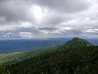
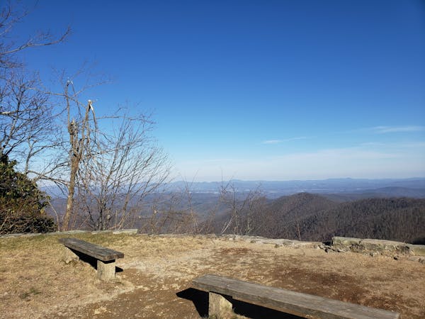
A challenging run to Calloway Peak in Grandfather Mountain State Park.
Difficult Trail Running
- Distance
- 9.8 km
- Ascent
- 622 m
- Descent
- 622 m
A beautiful loop including a high country meadow and stunning waterfalls.
Trail Running Difficult

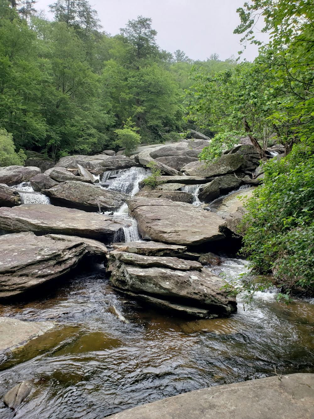
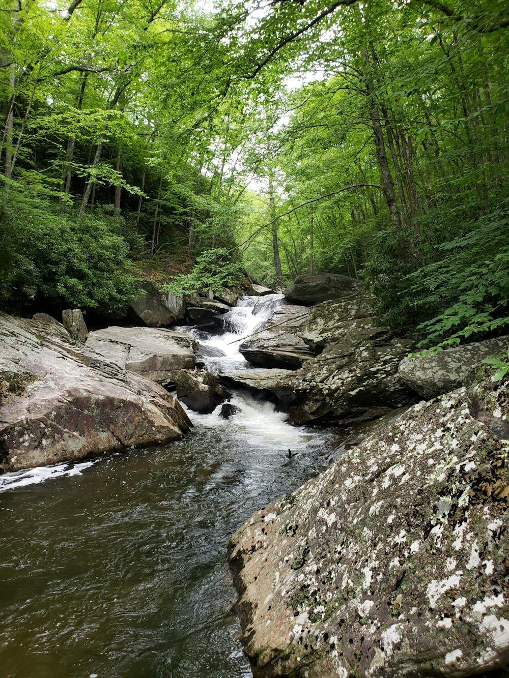
The Boone Fork Trail is a local classic and arguably one of the best trail running loops in North Carolina's high country. Located in Julian Price Memorial Park, this run includes a beautiful meadow, dark forests, and technical singletrack bordering a massive waterfall.
Begin the run at the Boone Fork Parking Lot, just 10 minutes away from downtown Blowing Rock. Seasonal water and restrooms are available, and several picnic areas make this a popular destination for families. Dogs are also allowed on the trail, though they must be leashed at all times.
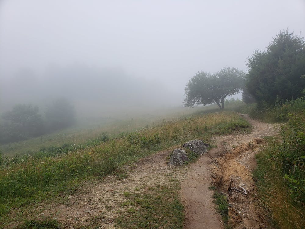
Trail runners often complete the loop clockwise, which first passes through the Julian Price Memorial Park Campground. The beginning of the loop includes some paved sections before passing through a beautiful high country meadow. Ahead, you'll continue through dense, dark forests lined with large craggy rock formations which continue until you reach the Boone Fork. Along the way, expect that you may get your feet wet as you cross several small streams.
The final segment is the most challenging to traverse, but also the most rewarding. As you begin climbing back towards the trailhead, the Boone Fork will be to your left. Several waterfalls line the way as you follow them upstream along rugged, challenging singletrack. Two unmarked, yet frequently traveled side trails lead to different views and swimming holes below.
Difficult

The trail contains some obstacles such as outcroppings and rock which could cause injury.
Away from help but easily accessed.
5.3 km away
A challenging run to Calloway Peak in Grandfather Mountain State Park.
Difficult Trail Running
12 routes · Trail Running