5.9 km away
Haywood Gap / Buckeye Gap Loop
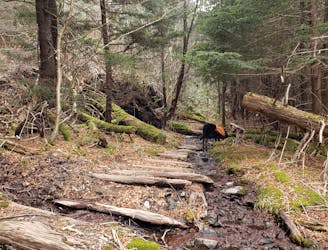
A lightly-traveled trail run through an old logging area turned wilderness.
Severe Trail Running
- Distance
- 12 km
- Ascent
- 565 m
- Descent
- 565 m
A short, easy run through a dark forest with a few views along the way.
Trail Running Easy

Run through dark spruce-fir forests on this well-marked summit loop to the highest of the Great Balsam Mountains. Less than 1.5 miles round trip, the trail climbs along a ridge, summits the peak, then skirts around its western edge back to the parking lot.
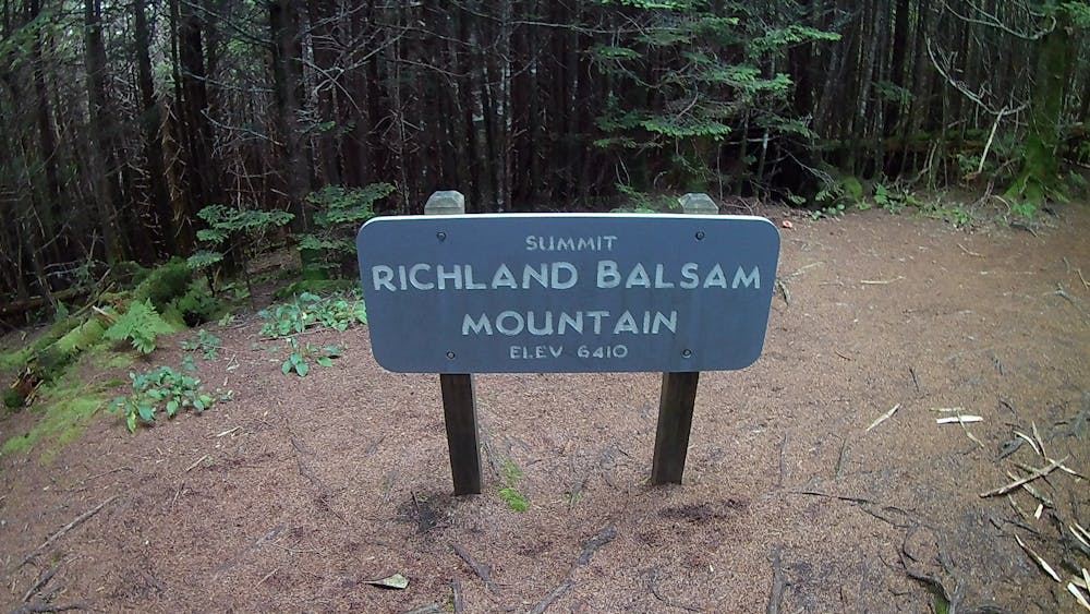
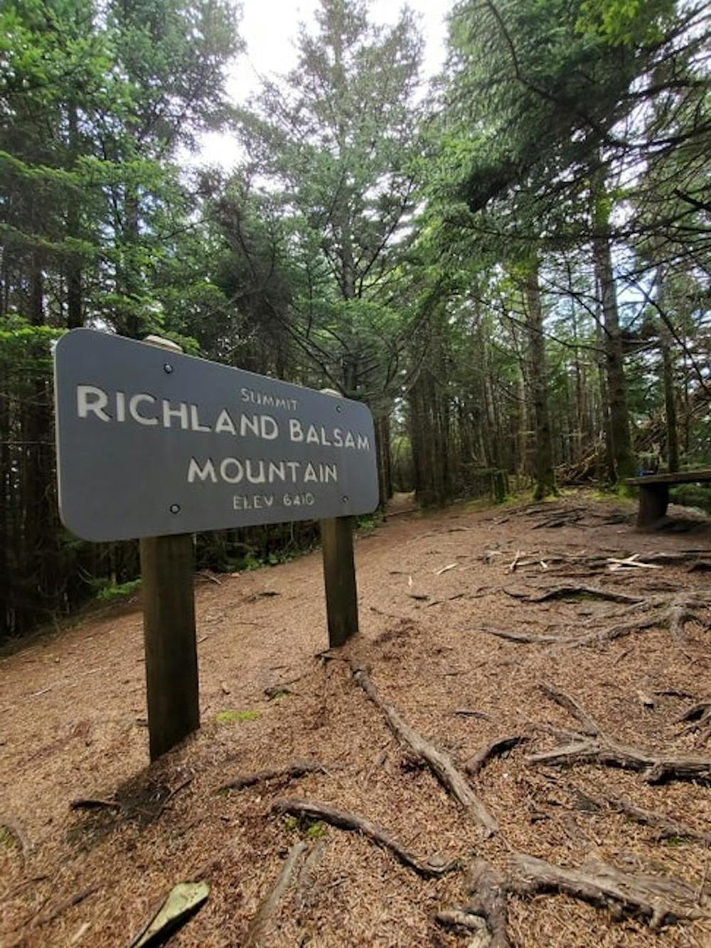
Begin at the Haywood-Jackson Overlook on the Blue Ridge Parkway, it's one overlook southeast of the Richland Balsam Overlook - which also happens to be the highest point on the entire 469-mile long Blue Ridge Parkway. Connecting the Great Smoky Mountains National Park to Shenandoah National Park, many consider it one of most scenic drives in the country.
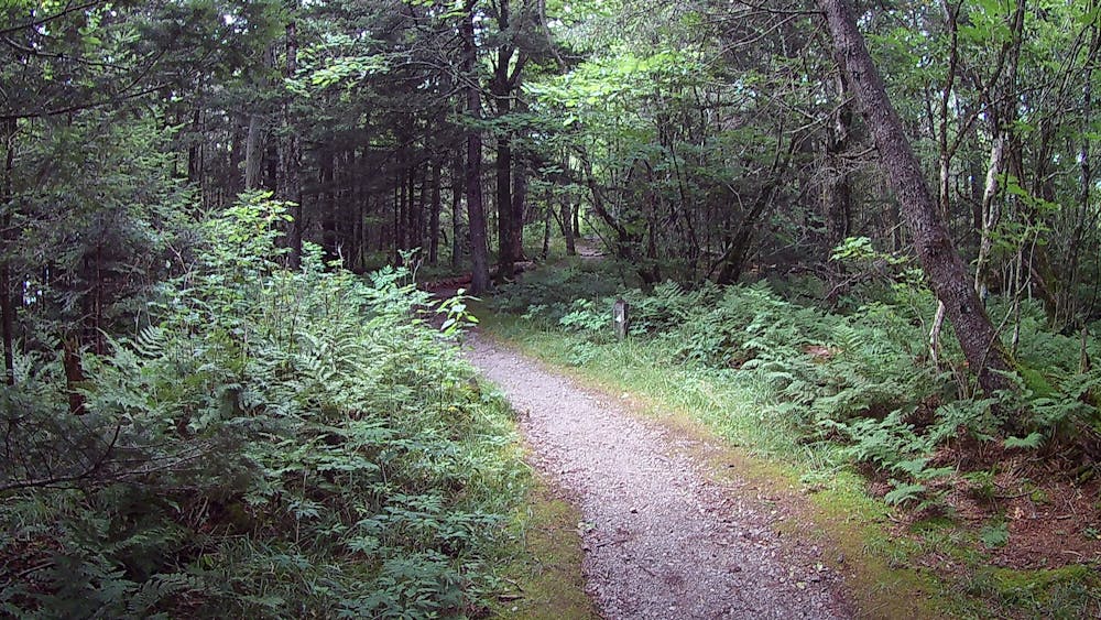
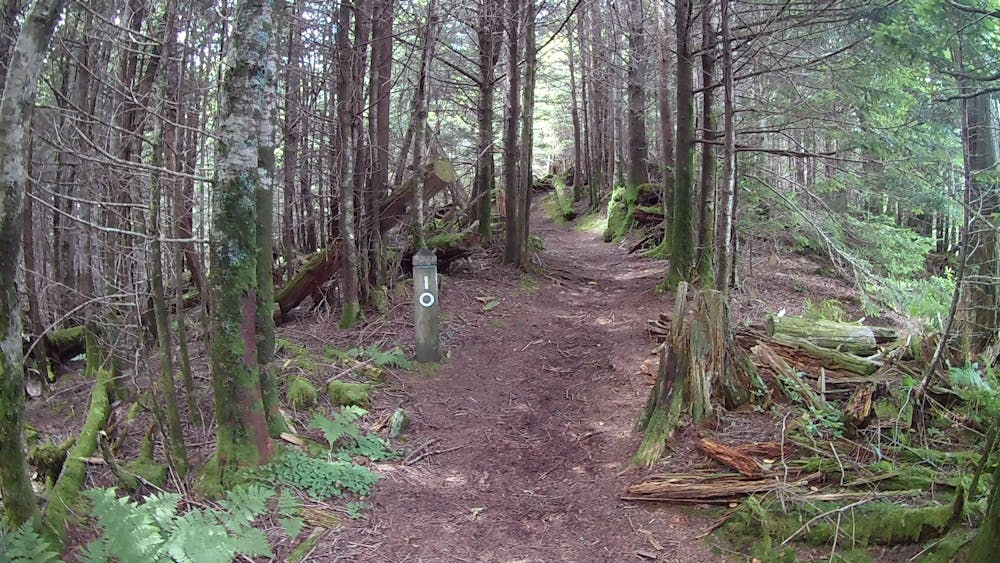
The first few hundred feet you'll follow a paved path to a junction. From here, most complete the loop counter-clockwise. Numbered trail markers can be found along the way to keep you on track. Several spur trails lead to areas that look like campsites or overlooks - though none actually do. Per the National Park, please stay on the blazed path at all times.
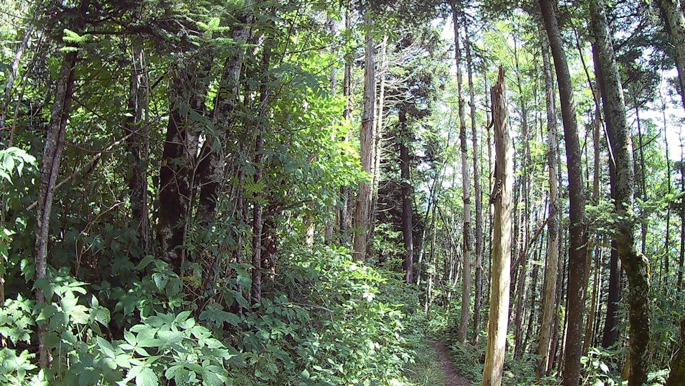
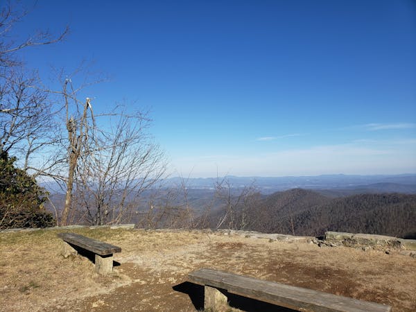
The first half of the run climbs through a dark southern Appalachian spruce-fir forest, an ecosystem reminiscent of the northern latitudes, especially the White and Green Mountains of New England. After reaching the summit, the return trip is slightly more gradual and offers some occasional views just below the western edge of the ridge. If you know what you're looking for, you can spot the two ridges that encircle the valley where Cullowhee is located.
Due to frequent winter closures of the Blue Ridge Parkway, this run is best visited in the summer months. At this elevation, the temperature can be almost 20 degrees cooler than Asheville or Waynesville.
Easy

The trail contains some obstacles such as outcroppings and rock which could cause injury.

Little chance of being seen or helped in case of an accident.
5.9 km away
A lightly-traveled trail run through an old logging area turned wilderness.
Severe Trail Running
8.8 km away
A iconic and scenic trail running route best known for its traverse through Shining Rock Wilderness.
Difficult Trail Running
9.4 km away
An all seasons route to one of the best views in Western North Carolina.
Severe Trail Running
12 routes · Trail Running

17 routes · Hiking · Trail Running

10 routes · Trail Running