
17 routes · Hiking · Trail Running
A long, mostly-gravel run through William B. Umstead State Park that follows trails used in both the Umstead Trail Marathon and Umstead 100.
Trail Running Difficult

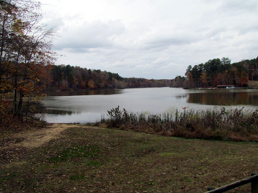
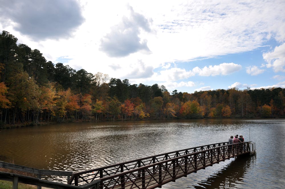
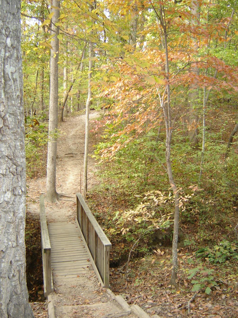
Nestled between Raleigh and Durham, William B. Umstead State Park is a trail running paradise hidden within a concrete jungle. Spread over 5,500 acres, this well-maintained spider web of trails includes beautiful lakeside views, quiet creeks, and diverse new-growth forests. It is a local favorite and the hub for trail running in the area.
According to Wikipedia, the land has long been "untamed" and wild, with bison, elk, bobcats, and wolves dominating the forests before logging and agriculture took root. "Poor cultivation practices and one-crop production however led to depletion and erosion of the soil." Some farmers even attempted "to grow cotton in worn-out soil," which ultimately proved to be futile.
The park's claim to fame in the trail running world is largely due to two of its annual trail races, the Umstead 100 and Umstead Trail Marathon. This route roughly follows the same course as the marathon route, which is run as an out-and-back from Lake Sycamore. This version begins and ends at the visitor center instead, where restrooms and water are available year-round.
What makes Umstead great is the number of interconnecting trails that offer options to shorten or lengthen your run. If 12 miles seems a bit daunting, don't hesitate to change it up or explore a side trail that invokes your curiosity.
Difficult

The trail contains some obstacles such as outcroppings and rock which could cause injury.

Little chance of being seen or helped in case of an accident.
17 routes · Hiking · Trail Running