Maah Daah Hey Trail
Ride one of the longest, off-the-beaten-path singletrack trails in the US.
Mountain Biking Difficult
- Distance
- 254 km
- Ascent
- 3.5 km
- Descent
- 3.6 km
- Duration
- 1 day +
- Low Point
- 602 m
- High Point
- 895 m
- Gradient
- 2˚
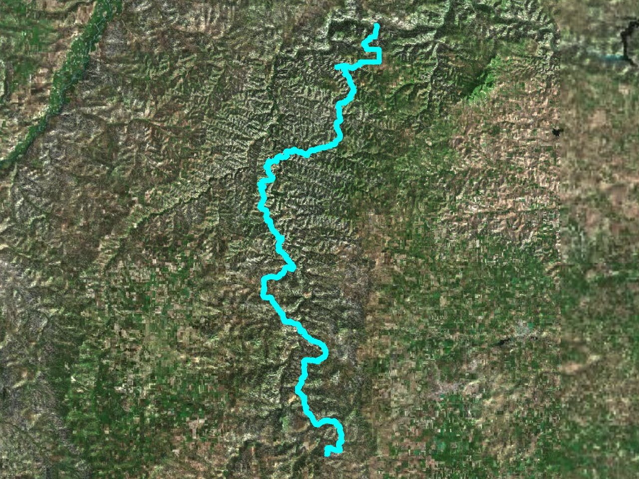
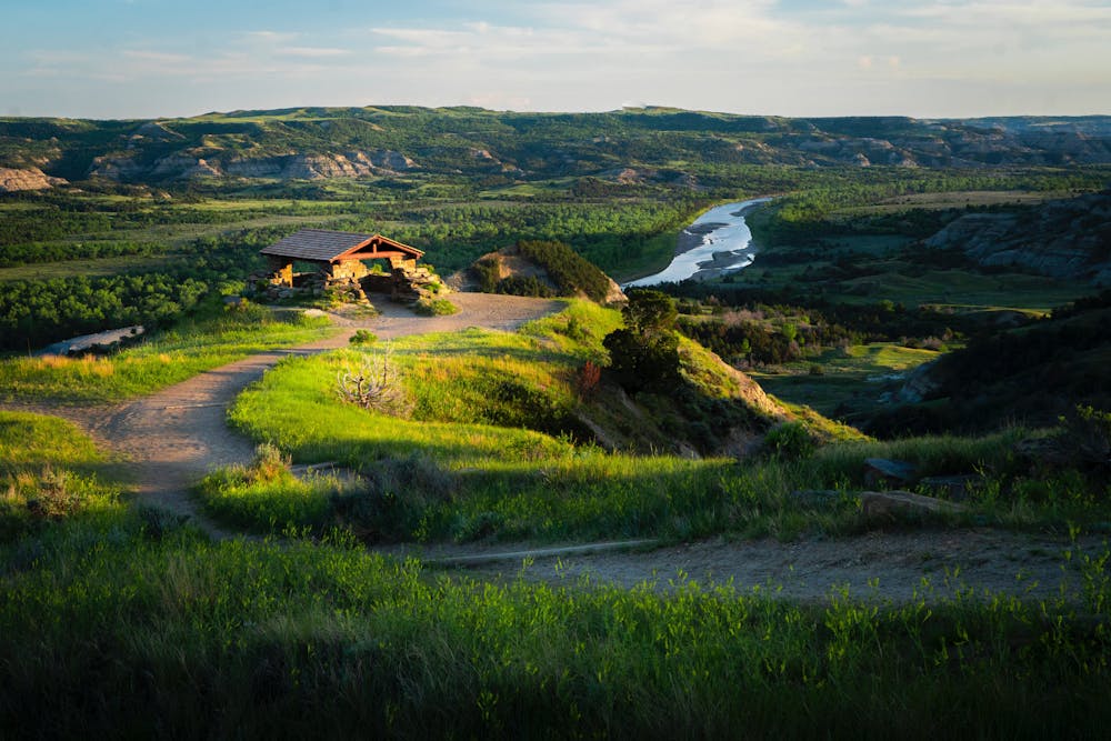
The Maah Daah Hey trail system showcases some of the US's most unique and breathtaking terrain. Majestic plateaus, jagged peaks and valleys, large expanses of rolling prairie, and rivers intertwine to offer the adventurous outdoors enthusiast a taste of pure, unadulterated wilderness.
Description
Expect plenty of tough climbs up buttes, steep descents through valleys, and you’ll even cross paths with the Little Missouri River in two spots. If you take on the entire trail, there are 11 campgrounds for when you need a rest. If not, there are 16 trailheads with connecting access, so you can jump in and off wherever you want. Just keep an eye out for wildlife when you’re in the saddle, such as antelope, bighorn sheep, and bison, especially once you cross into Theodore Roosevelt National Park territory.
The Maah Daah Hey Trail Association: http://mdhta.com/about/
Difficulty
Difficult
Mostly stable trail tread with some variability featuring larger and more unavoidable obstacles that may include, but not be limited to: bigger stones, roots, steps, and narrow curves. Compared to lower intermediate, technical difficulty is more advanced and grades of slopes are steeper. Ideal for upper intermediate riders.