17 m away
Middle Sister
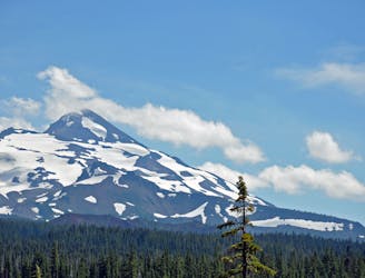
The shortest of the Three Sisters is still more technical to climb than the tallest.
Easy Alpine Climbing
- Distance
- 26 km
- Ascent
- 1.6 km
- Descent
- 1.6 km
Climbing all the Sisters in One go.
Alpine Climbing Severe

This is a popular alpine climbing route which is generally considered to be severe. It's remote, it features high exposure and is typically done between August and October. From a low point of 1.6 km to the maximum altitude of 3.1 km, the route covers 27 km, 2960 vertical metres of ascent and 2909 vertical metres of descent. You'll need crampons and quickdraws to complete it safely.
This is my proposed route for climbing all three sisters in one go. Going to talk with my climbing partners and see if they agree.
Severe
Steep, sustained and serious terrain on rock/ice. Routes will be long, exposed and possibly committing. D, D+

Much of the route is difficult to protect and a fall could be disastrous at certain points.

Away from help but easily accessed.
17 m away
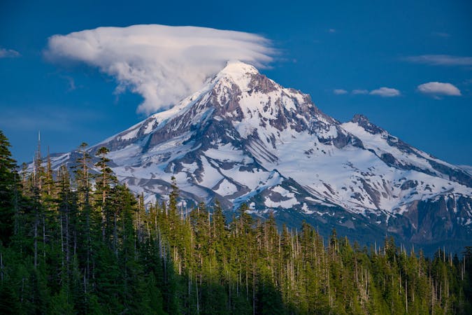
The shortest of the Three Sisters is still more technical to climb than the tallest.
Easy Alpine Climbing
18 m away
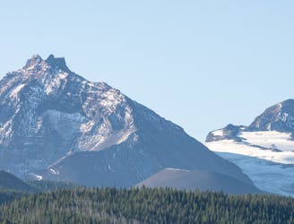
The most technical of Oregon's Three Sisters.
Moderate Alpine Climbing
10 routes · Alpine Climbing · Hiking
5 routes · Alpine Climbing · Hiking