6.4 km away
Fox Hill Road -> Rob's Hill Road Loop
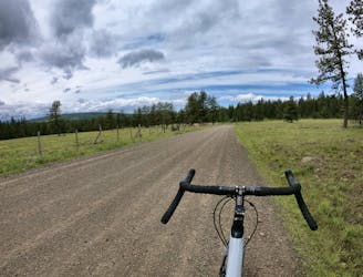
Short but steep gravel loop from downtown La Grande.
Difficult Gravel Biking
- Distance
- 25 km
- Ascent
- 588 m
- Descent
- 588 m
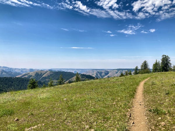
Ambitious "gravel biking" loop.
Gravel Biking Severe

This is a popular gravel biking route which is generally considered to be severe. It's an unknown remoteness, it features unknown exposure and is typically done in an unknown time of year. From a low point of 1.3 km to the maximum altitude of 1.8 km, the route covers 22 km, 616 vertical metres of ascent and 616 vertical metres of descent.
An ambitious gravel biking loop that utilizes some 4x4 and OHV roads. Could prove to be very rough on a gravel bike.
Severe
6.4 km away
Short but steep gravel loop from downtown La Grande.
Difficult Gravel Biking
18 routes · Mountain Biking · Gravel Biking · Hiking · Stand Up Paddle