7 routes · Hiking
An achievable hike through beautiful Oregon forest leading to gorgeous views.
Hiking Moderate

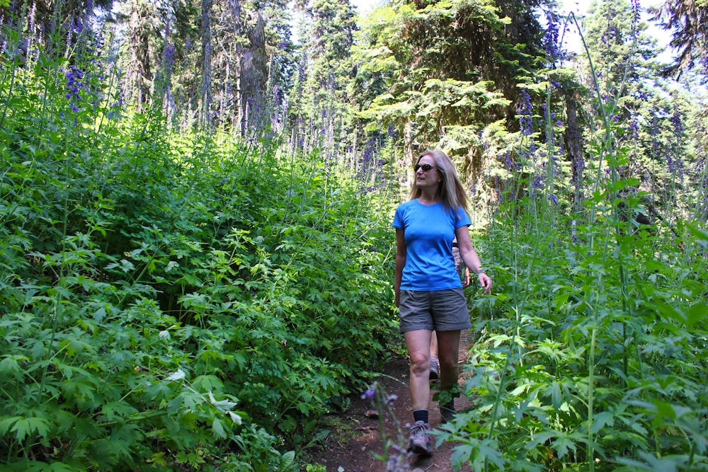
This moderate 5-mile hike runs through a beautiful section of deep, dark Oregon forest. While you'll enjoy a few meadows and breaks in the trees along the way, most of the hike offers a quintessential Oregon forest hiking experience. But in the meadows, "wildflowers bloom in abundance in June," according to OregonHikers.org.
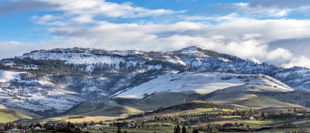
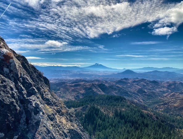
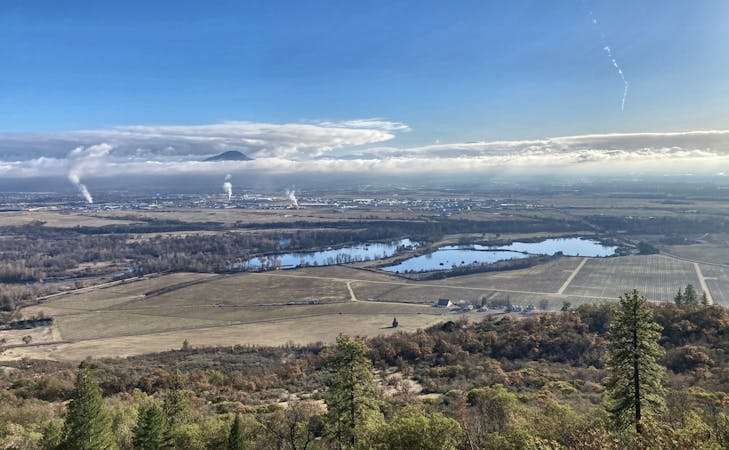
While you'll spend a lot of time in the trees, once you plateau on top of Grizzly Peak you'll make a loop around the peak. At the far end, you'll reach a break in the trees that provides a beautiful panorama of the entire region! From the vista point, you'll be able to spot Mount Shasta, Pilot Rock, Mount Ashland, and the Rogue Valley below. From a less impressive viewpoint on the other side of the mountain, you'll be able to score views of Mount McLoughlin, "and on a really clear day you can see the Three Sisters," according to OregonHikers.
The trail tread itself is well-maintained and family-friendly. Most of the climbing takes place in the first couple of miles, and then once you reach the long, flat top of Grizzly Peak, you'll get to relax as you complete the loop.
Sources: https://www.oregonhikers.org/fieldguide/GrizzlyPeakHike http://ashlandtrails.com/hiking/grizzly-peak-trail/ https://northerncaliforniahikingtrails.com/blog/2018/05/14/grizzly-peak-trail-hiking-ashland-oregon/
Moderate
Hiking along trails with some uneven terrain and small hills. Small rocks and roots may be present.

The path is on completely flat land and potential injury is limited to falling over.

Away from help but easily accessed.
7 routes · Hiking
11 routes · Hiking